活動
最常做的運動
跑步
騎車
步行
健行
跑步
騎車
功能
地圖
挑戰
訂閱版
登入
免費加入
註冊
首頁
活動
跑步
騎車
步行
健行
功能
地圖
挑戰
訂閱版
支援
註冊
登入
取得應用程式
+ 44
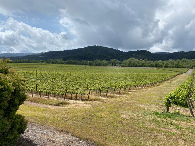
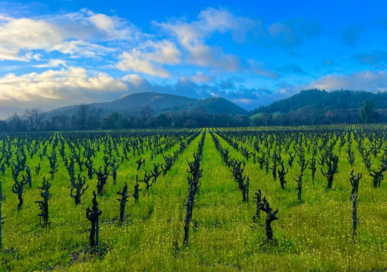
2018 REV Tour of Wine Country - extended route
自行車路線
儲存
分享
詳細資訊
25.9 英里
1,288 呎
adds 300ft elevation to basic Tour of Wine Country route
建立者:
Kristi Grøtting Hruzewicz
2018年9月4日
·
公開
路線和海拔
路段
名稱
距離
海拔差異
平均坡度
The Jefe Mile
1.51 英里
-43 呎
-0.4%
Lytton Springs Rd-Dry Creek Rd
2.53 英里
-171 呎
-0.4%
Lytton Springs RR X-Chiquita Rd
0.68 英里
98 呎
2.7%
Fredson to Chiquita on Lynton Springs
0.58 英里
82 呎
2.6%
Lytton Springs Sprint
1.83 英里
-154 呎
-1.6%
West Dry Creek - Lambert Bridge to Yoakim Bridge
4.44 英里
59 呎
0.2%
Lambert Br to Yoakim Br
3.87 英里
46 呎
0.2%
West Dry Creek Road Climb
0.46 英里
-30 呎
-0.2%
Yoakim Bridge Road
0.64 英里
-20 呎
-0.1%
Dutcher Crossing Sprint
0.73 英里
-36 呎
-0.7%
Dutcher, Dry Creek to Simmons
2.72 英里
315 呎
1.5%
Dutcher Creek North Climb
2.40 英里
325 呎
2.4%
Dutcher Creek UH & DH-South2North
4.03 英里
322 呎
0.6%
Dutcher Creek Rd. South to North
3.99 英里
312 呎
0.7%
Dutcher Creek Dig
2.11 英里
341 呎
2.9%
uphill sprint @a lake
1.83 英里
282 呎
2.7%
Pic creek road
0.62 英里
184 呎
5.4%
NB Dutcher just the hill
0.52 英里
135 呎
4.8%
Dutcher Creek Bomber
1.61 英里
-177 呎
-1.9%
Theresa to Washington
1.50 英里
105 呎
0.8%
Asti Rd Sprint Climbs
2.01 英里
108 呎
0.5%
Asti to Washington
0.39 英里
69 呎
3.3%
Asti Rd to Canyon
3.64 英里
-95 呎
-0.3%
zanzi time trial
1.32 英里
-89 呎
-1.2%
Wiedersheim Sprint
0.41 英里
59 呎
1.2%
zanzi to canyon time trial
2.67 英里
-39 呎
-0.3%
Geyserville Sprint
0.15 英里
-7 呎
-0.1%
Geyserville Avenue Climb
0.37 英里
20 呎
0.3%
Geyserville Mile
1.24 英里
30 呎
0.2%