+ 34
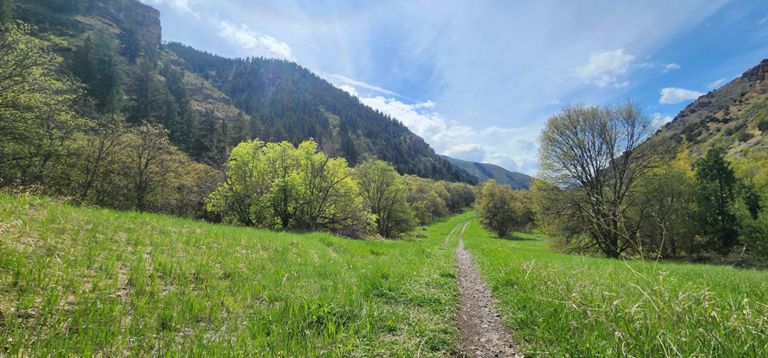
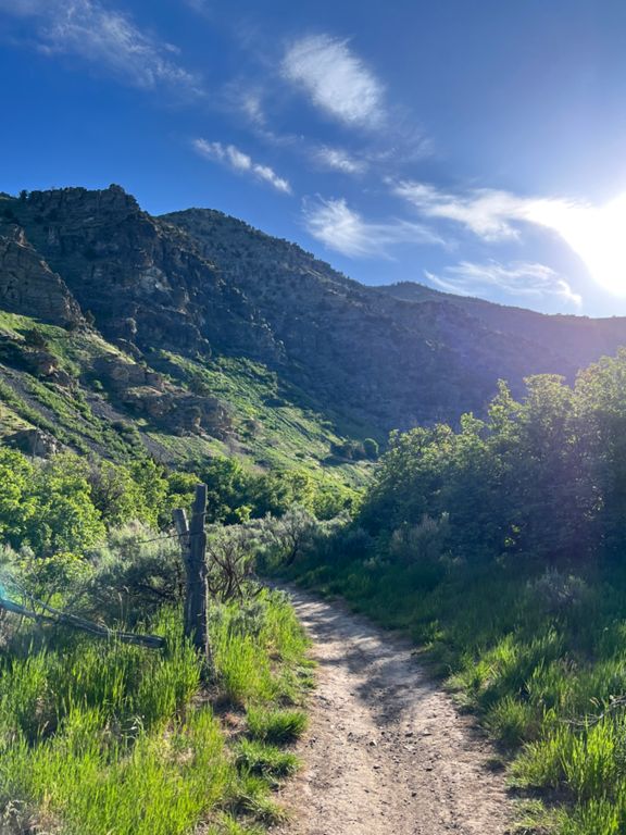
Hyrum to Laketown
骑行路线
详情
44.01英里
3,337英尺
路线和海拔
路段
| 名字 | 距离 | 海拔高度差 | 平均坡度 |
|---|---|---|---|
| Main Street | 1.68英里 | 141英尺 | 1.5% |
| MS Blacksmith Climb | 15.82英里 | 876英尺 | 1.0% |
| Hollow Road to Power Plant | 6.80英里 | 440英尺 | 1.2% |
| Cache National Forest Sign | 0.38英里 | 23英尺 | 1.1% |
| Blacksmith Fork Canyon | 14.13英里 | 856英尺 | 1.1% |
| TNR - Hollow Road to Rock Creek Sign | 12.93英里 | 735英尺 | 1.1% |
| Blacksmith Fork TT 10 mile - up segment | 4.97英里 | 358英尺 | 1.3% |
| 2014 Blacksmith Fork TT up | 5.22英里 | 341英尺 | 1.2% |
| Blacksmith Up | 13.58英里 | 774英尺 | 1.1% |
| Pie and beer hill | 0.27英里 | 36英尺 | 2.5% |
| Whaddya Got? | 0.61英里 | 98英尺 | 3.0% |
| Dam up to Rock Creek | 5.73英里 | 305英尺 | 1.0% |
| Laketown Rd Climb | 1.60英里 | 469英尺 | 5.6% |
| Laketown Rd Climb | 2.07英里 | 682英尺 | 6.2% |
| Laketown Road Climb | 0.58英里 | 276英尺 | 9.0% |