route-highlight
route-highlight
route-highlight
route-highlight
route-highlight
route-highlight
+ 194

Shatin Ping Che Brides Pool Loop

骑行路线

详情
66.55公里
624米
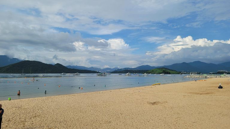
From Sha Tin bike kiosk, along bike paths up to Fanling, a short road section and then hitting a steep path overlooking the HK/Shenzhen border, down into Ping Che, some more road (trucks), turning into Bride's Pool road and beautiful quiet road over to Tai Mei Tuk. (optional to go off to reservoir at this point). Then back along the bike trails to Tai Po waterfront park and back to Sha Tin along those bike paths.
创建者
James Ockenden

路线和海拔

路段

名字距离海拔高度差平均坡度
Penfold straight1.05公里-10米-0.2%
Twin Bridge to Taipo7.34公里-17米-0.1%
Straight stretch to Tai Po4.96公里8米0.0%
ScienceParkNorthToTaip4.37公里-14米-0.2%
Science Park To Tai Wo6.53公里23米0.2%
Fo Yin Road Climb0.60公里80米13.3%
1kmFlyingStartToloHarbour1.02公里-7米-0.3%
Tolo Road Sprint1.95公里11米0.5%
New Territories Ring Road Climb0.51公里85米16.5%
大窩東支路->FL0.92公里-6米-0.4%
Tai Wo East nameless rd 1km sprint1.02公里-6米-0.4%
Kong Nga Po Rd Climb1.18公里98米8.2%
華山 (文錦渡上)3.53公里127米2.9%
Peng Che Rd to Luk Keng Rd4.88公里-29米-0.2%
Ping Che to 400M12.48公里116米0.0%
Luk Keng BB Park to 400M ,Zero7.28公里98米0.5%
climb Wu Kau Tang1.83公里112米6.1%
The Suffering Scotsman1.82公里113米6.1%
Bride's Pool Road - Luk Keng Climb1.67公里92米5.5%
BP descent 10.77公里-23米-2.6%
Bride's Pool Road Descend (Towards South)1.56公里-72米-4.6%
Ting Kok Road Climb0.69公里42米5.9%
Ting Kok Road Climb0.67公里88米12.9%
1km0.55公里2米0.2%
Sprint to the end0.17公里2米0.9%
Tai Po Waterfront sprint0.83公里-3米-0.2%
Yuen Chau Tsai - Science Park4.70公里-2米-0.0%
Tai Po Waterfront Park to Science Park4.29公里-15米-0.1%
元州仔-體院9.26公里8米0.0%
Yuen Chau Tsai - Twin Bridge7.43公里7米0.0%
1kmToloHarbourSouth1.02公里-8米-0.3%
Tai Po Road (Ma Liu Shui) Climb0.66公里12米1.0%
Sewage to Twin Bridge1.02公里7米0.1%
O2 RIVERSIDE1.01公里-2米-0.2%
馬場 + 體院1.68公里-1米-0.0%
體院600M0.63公里2米0.0%