

+ 3
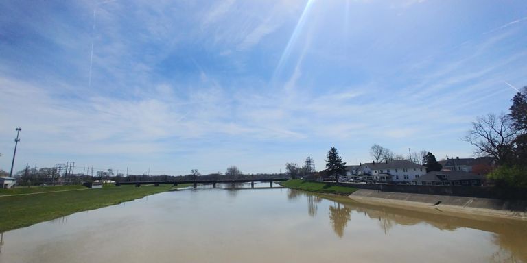
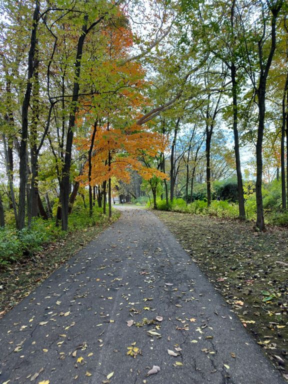
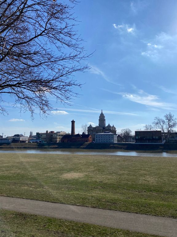
2019 Strawberry 17Mi
Cycling Route
Details
16.12 mi
133 ft
Route and Elevation
Segments
| Name | Distance | Elev. Diff. | Avg. Grade |
|---|---|---|---|
| Sprint | 0.73 mi | 13 ft | 0.0% |
| Ohio BR25 S Adams St Bridge to Dye Mill road | 2.48 mi | -30 ft | -0.1% |
| Ohio BR25 S Troy RR bridge to Tipp City Pool | 6.75 mi | -33 ft | -0.1% |
| Dye Mill to Tipp Pool | 4.80 mi | -30 ft | -0.1% |
| Dye Mill parking lot to Tipp pool | 3.75 mi | -20 ft | -0.1% |
| Tipp City pool to Dye mill parking lot | 4.62 mi | 33 ft | 0.1% |
| Tipp City Pool to Dye Mill | 3.78 mi | 20 ft | 0.1% |
| Use Ohio BR25 N Dye Mill to Adams St Bridge | 2.49 mi | 30 ft | 0.1% |
| Sprint to Adams Street bridge | 0.70 mi | -10 ft | -0.0% |