


+ 154
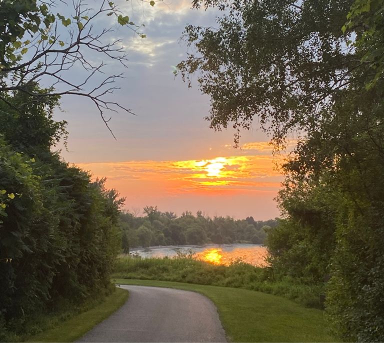
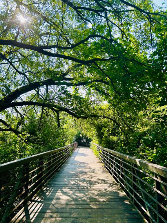
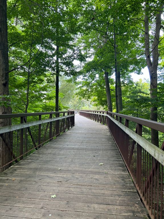
Route 27 - Rouge to Pickering Waterfront
骑行路线
详情
14.88公里
124米
创建者
Shawn Smith

路线和海拔
路段
| 名字 | 距离 | 海拔高度差 | 平均坡度 |
|---|---|---|---|
| Go Train - Bridge to Rosebank | 1.62公里 | -7米 | -0.4% |
| Up n over | 0.37公里 | 16米 | 4.4% |
| Eastbound - Ride through Petticoat Creek | 0.97公里 | -2米 | -0.0% |
| Bayly Hill - Eastbound/Short | 0.73公里 | -4米 | -0.4% |
| bayly hill wft | 0.62公里 | 10米 | 1.3% |
| Liverpool waterfront to Brock Rd | 1.89公里 | 15米 | 0.7% |
| Walk it off (your bike) EB | 0.42公里 | -3米 | -0.3% |
| Beachfront --> Rotary | 3.96公里 | 16米 | 0.0% |
| Nuke Ya Later Eastbound | 2.57公里 | 16米 | 0.1% |