| Don't get squeezed by the wall | 0.46英里 | 26英尺 | 1.1% |
| Three Tunnel Dash | 0.12英里 | 23英尺 | 3.7% |
| Branwells chicane | 0.24英里 | -23英尺 | -1.9% |
| Arcade Sprint | 0.25英里 | -13英尺 | -0.6% |
| Cow Effluent Climb - Taste The Goodness | 0.30英里 | 102英尺 | 6.4% |
| Treen Hill the steep bit before the waiting place | 0.35英里 | 167英尺 | 8.8% |
| Trethewey Sprint | 0.19英里 | -16英尺 | -1.4% |
| First segment in U.K. | 0.31英里 | 20英尺 | 1.2% |
| Up and away from Lands End | 0.26英里 | 59英尺 | 4.2% |
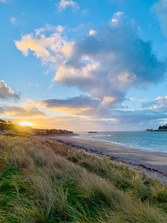
| Sennen roundabout to St Just turning | 1.17英里 | 105英尺 | 1.4% |
| Sennen to St Just Rd | 2.84英里 | 190英尺 | 0.7% |
| Just Peddle to Pendeen | 2.86英里 | 157英尺 | 0.2% |
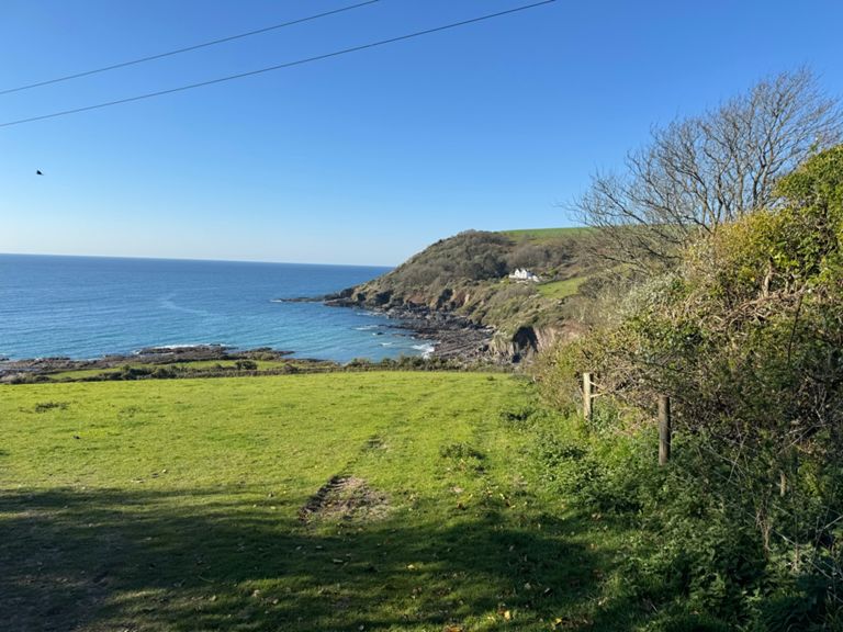
| Nancherrow descent | 0.22英里 | -102英尺 | -8.4% |
| Carnyorth Corners | 0.34英里 | 23英尺 | 0.9% |
| Long Longrock - first roundabout to carpark cafe | 0.92英里 | 20英尺 | 0.2% |
| Trying not to watch the Kitesurfers | 0.34英里 | 13英尺 | 0.1% |
| Windy Sprint | 0.24英里 | 16英尺 | 0.4% |
| Rough Rosevidney | 1.38英里 | 89英尺 | 1.2% |
| Tredrea Lane from Long Lanes to St Erth T jct | 0.74英里 | -39英尺 | -1.0% |
| TT start to cross roads | 1.22英里 | -30英尺 | -0.1% |
| leedstown to praze | 2.13英里 | 59英尺 | 0.1% |
| Just out of Praze-an- Beeble up to junction | 1.47英里 | 276英尺 | 3.5% |
| Black Rock (long) | 2.94英里 | 436英尺 | 2.8% |
| Black Rock West | 1.17英里 | 266英尺 | 4.2% |
| 400mtr hill rep session | 0.26英里 | 98英尺 | 7.1% |
| 500mtr hill rep session | 0.50英里 | 118英尺 | 4.4% |
| Blackrock corner to New Road | 1.48英里 | 102英尺 | 1.3% |
| Cargenwyn Rise | 0.31英里 | 52英尺 | 2.9% |
| Sprint for Four Lanes turn | 0.59英里 | -89英尺 | -2.7% |
| How fast can you go | 0.28英里 | -79英尺 | -5.2% |
| Junction to Pencoys sign | 0.51英里 | 23英尺 | 0.1% |
| Four Lanes sprint | 0.47英里 | -13英尺 | 0.0% |
| The Duck( Sportsmans) to Victoria | 0.23英里 | 7英尺 | 0.6% |
| North Carn Marth Climb | 0.55英里 | 157英尺 | 5.4% |
| Little Up | 0.17英里 | 52英尺 | 5.7% |
| Tregoney Hill Steep Bit | 0.19英里 | 92英尺 | 9.0% |
| Long Hill out of Tregony | 1.22英里 | 272英尺 | 4.2% |
| Faircross Approach | 0.30英里 | -36英尺 | -0.3% |
| SAW-AC-POLGOOTH-HILLREP3 | 0.74英里 | 128英尺 | 3.1% |
| Five Turnings Flyer | 0.82英里 | -331英尺 | -7.6% |
| Half hill | 0.55英里 | -177英尺 | -6.1% |
| Sprints "St,Austell" sign- south | 0.26英里 | 16英尺 | 0.7% |
| Leave Maccies in a hurry | 0.20英里 | 20英尺 | 1.8% |
| St Austell Bypass Eastbound | 0.95英里 | 95英尺 | 1.9% |
| Asda to lights blast | 0.16英里 | 39英尺 | 4.6% |
| Holmbush to Brit | 0.74英里 | -49英尺 | -1.1% |
| SAW - SKYRIDE - GOING FOR GREEN | 1.34英里 | -30英尺 | -0.4% |
| St Martins Climb | 0.82英里 | 230英尺 | 4.8% |
| climb from downderry | 0.66英里 | 325英尺 | 9.3% |
| downderry turn corner to tregantle turn | 3.26英里 | -282英尺 | -1.3% |