
+ 142
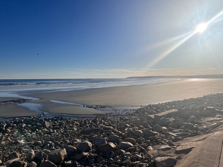
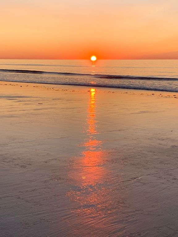
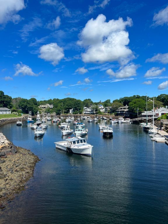
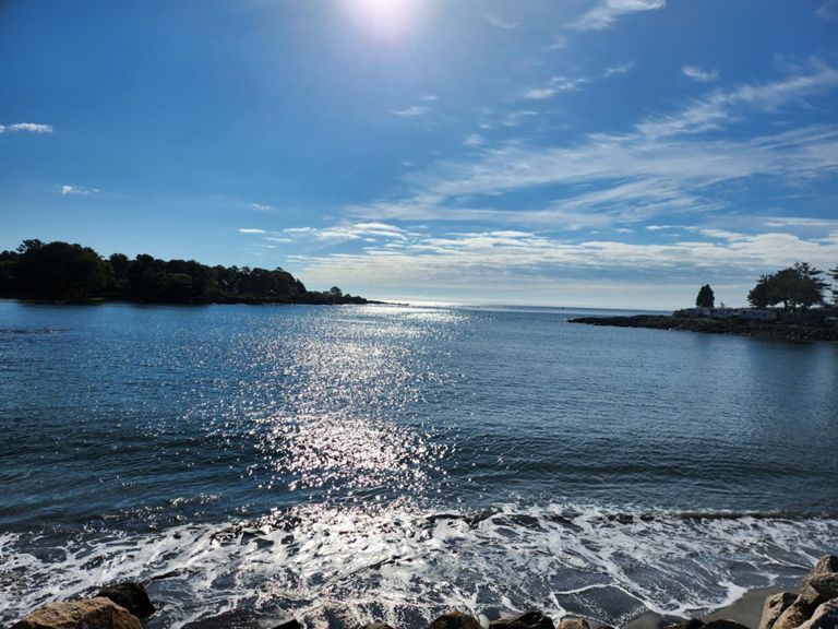
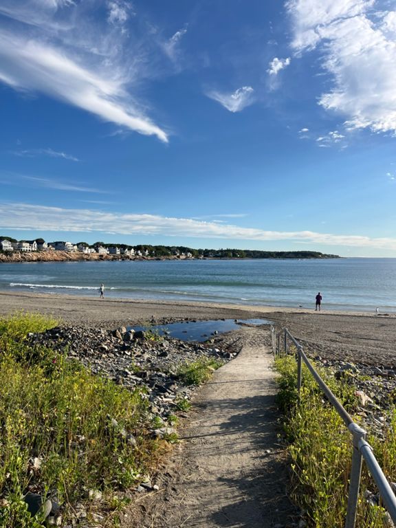
Memorial Day Maine Coast
自行車路線
詳細資訊
36.57 英里
1,717 呎
建立者:
Megan Brake

路線和海拔
路段
| 名稱 | 距離 | 海拔差異 | 平均坡度 |
|---|---|---|---|
| down Mile Road | 0.84 英里 | -52 呎 | -1.0% |
| Bourne - Ocean to Post | 0.62 英里 | 43 呎 | 1.1% |
| Perkins Cove to Cape Neddick | 4.53 英里 | -75 呎 | -0.1% |
| Shore Road South | 4.52 英里 | -82 呎 | -0.1% |
| Son of the Drop | 0.63 英里 | -66 呎 | -1.4% |
| Run from the fuzz! | 0.42 英里 | -16 呎 | -0.4% |
| Riversedge Drive Climb | 0.65 英里 | 262 呎 | 7.6% |
| Mtn Rd (Rt 1 to Chases Pond) | 1.48 英里 | 115 呎 | 1.4% |
| Mountain Road - Rt.1 to Belle Marsh | 6.58 英里 | 308 呎 | 0.4% |
| Mountain Rd. to Clay Hill Rd. | 1.09 英里 | 79 呎 | 0.5% |
| Clay Hill Road to Mount Agamenticus Entrance | 1.58 英里 | 148 呎 | 1.7% |
| Gravel Bomb to Belle Marsh | 2.33 英里 | -180 呎 | -1.2% |
| Dirty Downers | 0.79 英里 | -180 呎 | -4.0% |
| Emery's downhill 1 | 0.19 英里 | -49 呎 | -4.8% |
| Chick's Brook to Boyd's Corner Rise | 1.99 英里 | 115 呎 | 1.1% |
| Emery's Uphill | 0.41 英里 | 82 呎 | 3.8% |
| PM mile 8 | 1.02 英里 | 66 呎 | 1.1% |