| N Water St. to Albany St. | 0.30英里 | 82英尺 | 5.0% |
| Verazzano Blvd (W to E) | 0.29英里 | 33英尺 | 2.0% |
| Brookside Ave (W to E) | 0.28英里 | 13英尺 | 0.8% |
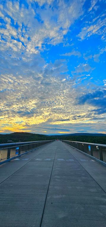
| Walkway Over the Hudson (West) | 1.38英里 | 46英尺 | 0.6% |
| DRT-Over the Hudson (W) | 1.25英里 | -180英尺 | -0.2% |
| Over the Water - West | 0.47英里 | -3英尺 | -0.1% |
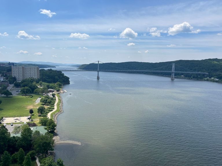
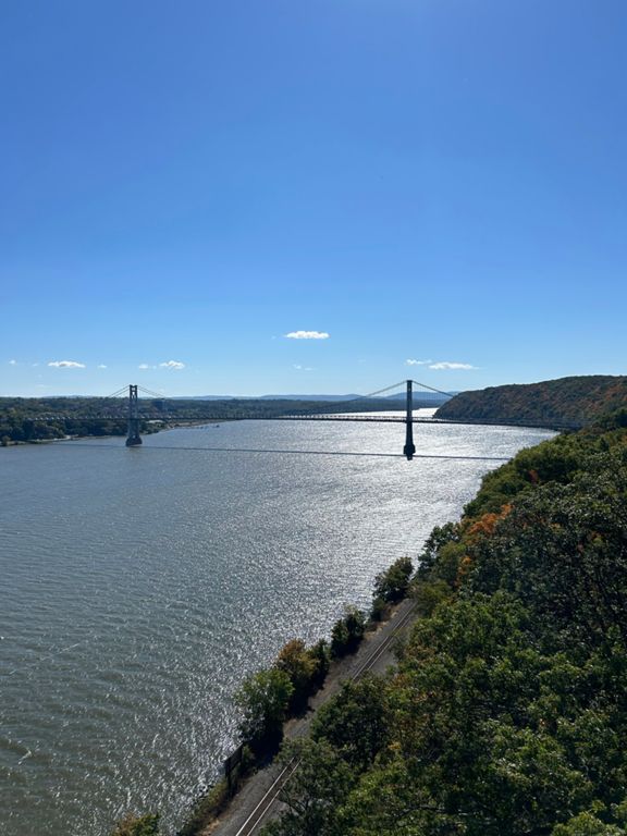
| Walkway over Hudson (Dutchess - Ulster) | 4.06英里 | 367英尺 | 1.7% |
| HVRT - (E to W) | 3.39英里 | 121英尺 | 0.7% |
| Tillson Avenue Ext Climb | 0.46英里 | 43英尺 | 1.5% |
| Rail Trail | 3.01英里 | 72英尺 | 0.5% |
| 9W to Tony Williams | 2.64英里 | 56英尺 | 0.4% |
| New Paltz Road Climb | 1.25英里 | 427英尺 | 6.4% |
| HVRT - 44/55 to Caboose | 0.80英里 | -56英尺 | -1.3% |
| HVRT - 9W to Caboose | 0.43英里 | -46英尺 | -2.0% |
| Walkway over the Hudson (East) | 1.41英里 | -46英尺 | -0.6% |
| DRT-Over the Hudson (E) | 1.25英里 | 184英尺 | 0.2% |
| Walkway no-walkie | 0.47英里 | -3英尺 | -0.0% |
| DRT - Walkway to Buckingham Ave | 0.49英里 | 10英尺 | 0.4% |
| Van Wagner Rd (Tucker Dr to Salt Point Tpke) | 3.83英里 | 148英尺 | 0.6% |
| Van Wagner Rd (Tucker Dr to Bedell Rd) | 1.54英里 | 69英尺 | 0.4% |
| Van Wagner Rd (Bedell Rd to Peach Rd) | 0.97英里 | 92英尺 | 1.7% |
| Van Wagner Rd (Bower Rd to Salt Point Tpke) | 1.56英里 | 59英尺 | 0.7% |
| Gretna Rd | 1.12英里 | 177英尺 | 3.0% |
| Gretna Rd (S to N) | 2.26英里 | 180英尺 | 0.9% |
| Gretna -- Melville to Netherwood | 0.70英里 | -95英尺 | -2.3% |
| Crum Elbow Downhill | 1.12英里 | -82英尺 | -1.4% |
| Cream St (Crum Elbow to Honeywell) | 1.89英里 | 171英尺 | 1.6% |
| Cream St Climb | 2.17英里 | 226英尺 | 1.8% |
| Turn those legs into Cream (Öut Of OrdeЯ) | 0.33英里 | 105英尺 | 5.9% |
| Cream St climb (Crum Elbow to Dutchess Hill) | 1.56英里 | 167英尺 | 2.0% |
| Cream Street Hill Climb | 0.44英里 | 108英尺 | 4.2% |
| Cream Street hill | 0.44英里 | 112英尺 | 4.7% |
| Cream St (Honeywell to East Dorsey) | 1.32英里 | -200英尺 | -2.0% |
| Cream St Downhill to East Dorsey Lane | 0.96英里 | -200英尺 | -3.9% |
| Bennett Rd (N to S) | 0.98英里 | -49英尺 | -0.6% |
| Cottage Rd (S to N) | 0.54英里 | 62英尺 | 1.3% |
| Bahret Ave to Inwood Ave | 0.62英里 | -36英尺 | -0.8% |