Activities
Top Sports
Running
Cycling
Walking
Hiking
Running
Cycling
Features
Maps
Challenges
Subscription
Log In
Join for Free
Sign Up
Home
Activities
Running
Cycling
Walking
Hiking
Features
Maps
Challenges
Subscription
Support
Sign Up
Log In
Get the App
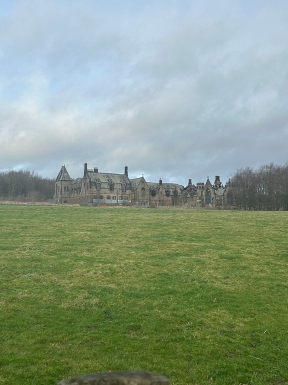
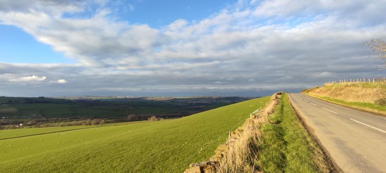
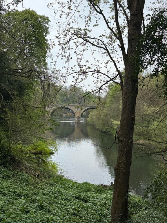
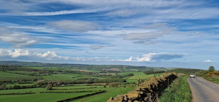
+ 11
Cornsay
Cycling Route
Save
Share
Details
40.25 km
563 m
Created By
Durham University Cycling Club
24 March 2015
·
Public
Route and Elevation
Segments
Name
Distance
Elev. Diff.
Avg. Grade
New Inn to Roundabout
0.34 km
7 m
1.9%
Potters Bank (full)
0.66 km
32 m
4.7%
Potters Bank Full
0.83 km
32 m
3.7%
Potters Bank
0.66 km
34 m
4.0%
now not hazardous ish
0.42 km
-32 m
-7.5%
DCV Youth Hill Repeats
0.35 km
18 m
5.1%
Stonebridge to Usher Moor
2.77 km
51 m
1.6%
Broom Lane bank (uphill)
0.51 km
24 m
4.6%
Stonebridge to Broompark
0.49 km
23 m
4.7%
exit ushaw - steep bit
0.21 km
10 m
4.4%
Ushaw Moor to Langley Park Hill Top turning
3.04 km
79 m
2.2%
Exit Usher Climb
0.58 km
39 m
6.7%
top of Ushaw Moor to A68
14.58 km
193 m
1.3%
hill sprint special
0.32 km
15 m
4.2%
Board Inn to Wilks Hill
4.50 km
63 m
1.4%
Esh & Quebec right to the top
4.85 km
68 m
1.4%
Down and Out of Esh
0.62 km
-36 m
-5.7%
Wilks Hill
1.35 km
37 m
2.6%
Quick road sprint
0.74 km
12 m
1.6%
It Sticks
6.81 km
69 m
0.9%
Turning to Cornsay - give it legs
1.68 km
23 m
1.4%
Cornsay to Pan Lane
3.92 km
37 m
0.5%
Blow it up!
4.56 km
67 m
0.8%
Descent off the Hill
0.64 km
-39 m
-5.9%
Short & sharp test on the Inkerman road
0.30 km
14 m
4.7%
Inkerman slope
0.70 km
22 m
3.1%
Towing the Law
1.10 km
-12 m
-0.4%
Towlaw to Branspeth Descent
10.70 km
-205 m
-1.9%
Tow Law to Stonebridge
15.36 km
-248 m
-1.6%
North Lane All The Way
3.34 km
-39 m
-1.1%
Sunniside Blast
0.80 km
-26 m
-3.1%
North Lane Drag (Stanley Crook)
0.99 km
27 m
2.3%
rainbow hill
0.42 km
17 m
4.0%
Stanley Crook to Oakenshaw Turn
0.96 km
-31 m
-3.2%
Stockley Lane, well nearly!
4.61 km
-120 m
-2.6%
Sprint Legs on Stockley Lane
4.59 km
-136 m
-3.0%
oakenshaw descent
4.48 km
-133 m
-3.0%
Eyeballs out!
1.78 km
-77 m
-4.3%
Brancepeth to Langley Moor
5.63 km
-58 m
-0.7%
Brancepeth to Brandon Docs
2.37 km
-10 m
-0.0%
sawmills to stonebridge
2.82 km
-46 m
-1.5%
Old Police House Lights to Black Road
1.01 km
-18 m
-1.8%
Sports Centre to Mill Road
0.37 km
-9 m
-2.3%
Sports Centre to Roundabout
1.82 km
-28 m
-1.4%
North Brancepeth Close Climb
0.57 km
105 m
18.2%
Boyne to Stonebridge
0.75 km
-40 m
-0.8%
Lowe's Barn bank (uphill)
0.48 km
34 m
7.0%
Lowe's barn kick
0.41 km
30 m
6.9%
Potters Droop
0.85 km
-25 m
-2.7%
Speedy Roundabout
0.20 km
-11 m
-5.5%