


+ 192
Bay Trail in Burlingame and Foster City
Cycling Route
Details
21.5 mi
242 ft
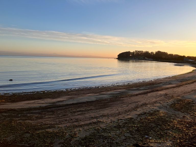
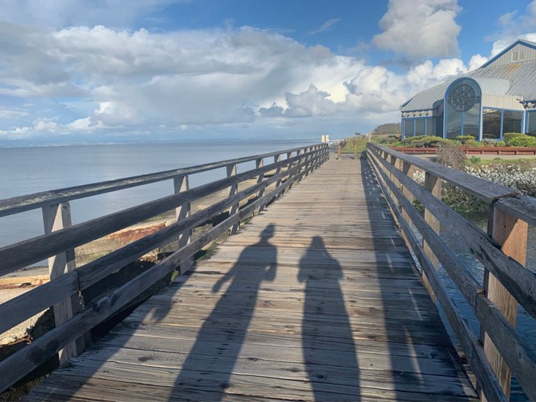
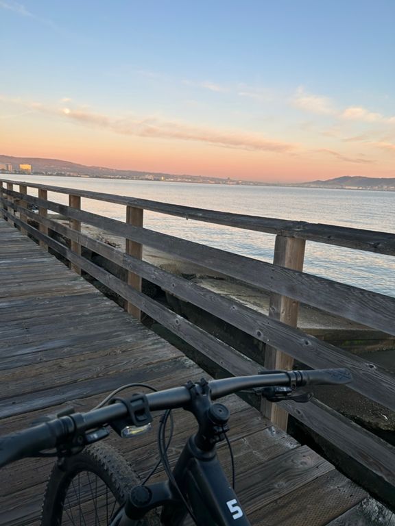
Lollipop route with stem = 12.2 miles and circle = 10.4 miles. Two rounds of the circle make the overall route 34 miles long.
Created By
Gurmeet M

Route and Elevation
Segments
| Name | Distance | Elev. Diff. | Avg. Grade |
|---|---|---|---|
| Coyote Point Crit Practice | 0.32 mi | 3 ft | 0.0% |
| Coyote Point Reacharound | 0.53 mi | 0 ft | 0.0% |
| Coyote Point Short and Fast | 0.38 mi | -10 ft | -0.1% |
| coyote to dumps | 0.84 mi | 7 ft | 0.1% |
| Haters Gonna Hate | 0.75 mi | 13 ft | 0.1% |
| Flaggers Gonna Flag | 0.72 mi | 7 ft | 0.0% |
| High Voltage Dash | 0.75 mi | 7 ft | 0.0% |
| Monte Diablo to Tidelands | 1.47 mi | -13 ft | -0.1% |
| Seal Point Bridge Blast | 0.66 mi | 13 ft | 0.1% |
| Bike Path at Detroit Drive to SM Bridge Southbound | 2.35 mi | -13 ft | -0.1% |
| Feral Cat Freeway | 1.94 mi | -3 ft | -0.0% |
| Kite Surfer's Paradise | 1.03 mi | -7 ft | -0.0% |
| Foster City TT Bridge to Bridge | 3.61 mi | -16 ft | -0.0% |
| SF2G Foster City TTT | 3.66 mi | -7 ft | -0.0% |
| FosterCity Tailwind TT | 1.71 mi | 7 ft | 0.1% |
| Beach Park Blvd to Bayshore Fwy | 2.40 mi | 7 ft | 0.0% |
| Foster City Sprint Upwind | 0.40 mi | 0 ft | 0.0% |
| NB- Inside Passage to 92 | 2.19 mi | -10 ft | -0.0% |
| FC Levee Pedway | 2.14 mi | -16 ft | -0.0% |
| Winnebago Sprint North | 0.41 mi | 3 ft | 0.0% |
| Tidelands to Monte Diablo | 1.51 mi | 16 ft | 0.1% |
| Seal Point to Coyote Point | 1.00 mi | -7 ft | -0.0% |