活动
最常进行的运动
跑步
骑行
步行
远足
跑步
骑行
功能
地图
挑战
订阅
登录
免费加入
注册
主页
活动
跑步
骑行
步行
远足
功能
地图
挑战
订阅
用户服务
注册
登录
获取应用程序
+ 33
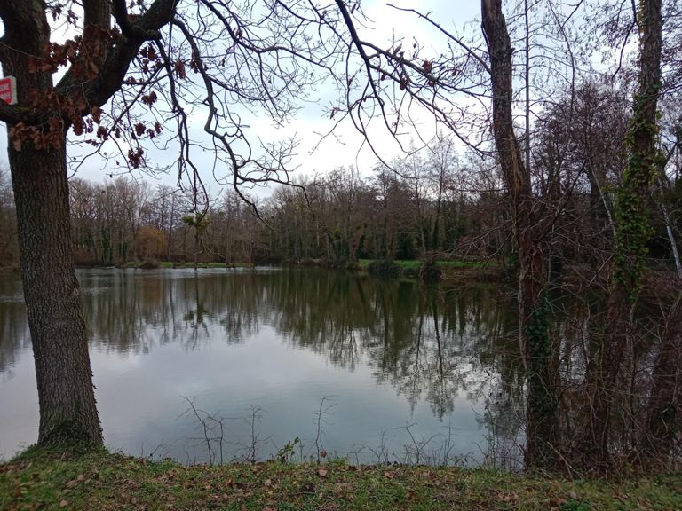
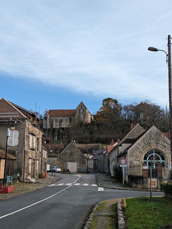
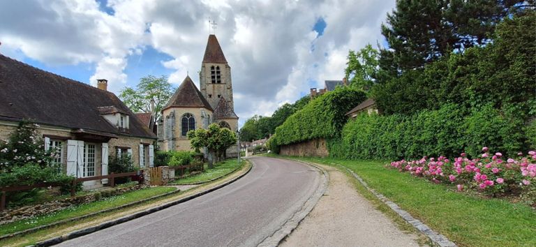
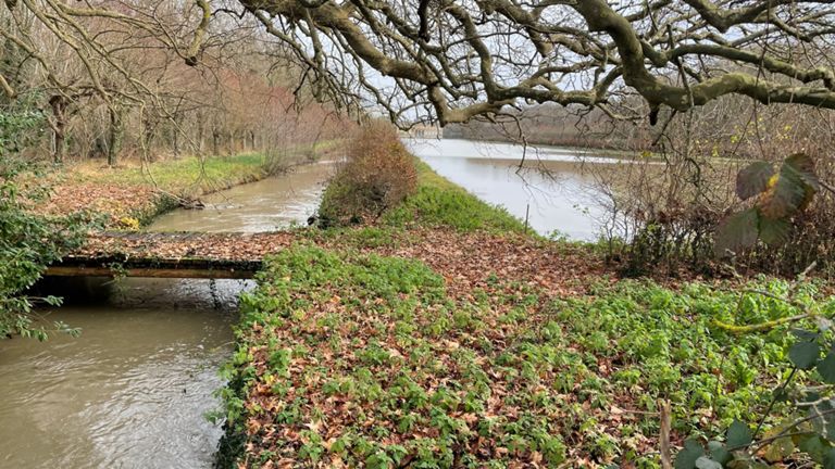
La Celle (Cernay court)
骑行路线
保存
分享
详情
69.28公里
514米
创建者
Union Cycliste Arpajonnais
2019年7月10日
·
公开
路线和海拔
路段
名字
距离
海拔高度差
平均坡度
Côte de l'hôpital
0.34公里
13米
3.4%
Arpajon_D192_Feu to N20
0.64公里
19米
2.9%
D27
4.36公里
10米
0.2%
Le Marais Le Val par route de Granville
2.50公里
8米
0.2%
Le Pont Rué
1.36公里
-10米
-0.3%
D838 / Longvilliers
3.12公里
17米
0.4%
Faux-plat Clairefontaine
0.59公里
13米
2.2%
Route des Bruyères Climb
1.38公里
85米
6.2%
face b clairefontaine onf
0.34公里
28米
8.2%
Bosse de l'ONF
0.50公里
38米
7.5%
Bosse Clairfontaine
0.84公里
38米
4.5%
Descente Villeneuve
0.95公里
-45米
-4.7%
LaCelle_D906
3.03公里
45米
1.5%
Montee_de_Tivernoux
0.91公里
25米
2.8%
Thivernoux - Montée seule
0.57公里
24米
4.1%
Arrache-Cycle
1.74公里
17米
0.1%
St Robert vers Cernay
0.69公里
16米
2.0%
Côte de Cernay jusqu'en haut
1.06公里
39米
3.5%
Cote de la rue des Vaux de Cernay
0.85公里
36米
4.1%
Côte de Cernay
0.80公里
36米
4.1%
Yet Another Cote de Cernay Segment
0.73公里
33米
4.5%
Côte de Cernay
0.74公里
36米
4.6%
Côte de Cernay 2
0.70公里
36米
4.9%
OLD VERSION - Côte de Cernay
0.81公里
37米
4.5%
Cernay la Ville
0.18公里
4米
2.1%
sortie Cernay
1.05公里
5米
0.2%
ligne droite cernay retour
2.70公里
5米
0.2%
Seuil Cernay - Les Molières
5.94公里
93米
1.3%
rond point cernay_pancarte boulay
4.62公里
7米
0.0%
D24 Cernay vers les Molières
1.63公里
5米
0.3%
Cernay - Boulay
5.46公里
-8米
-0.1%
Route Molières
4.34公里
-21米
-0.2%
Frontière Yvelino-Essonienne
2.40公里
-7米
-0.1%
D24-pancarte Boulay
2.82公里
-16米
-0.1%
ligne droite sprint boulay
2.33公里
-7米
-0.3%
Sprint Boulay
0.56公里
-5米
-0.7%
Route de Quincampoix
1.98公里
7米
0.3%
Route de Roussigny depuis Les Molières
1.83公里
7米
0.4%
CM Roussigny
1.07公里
-8米
-0.6%
descente de briis
1.99公里
-65米
-3.0%
Rue de la Fontaine de ville
0.67公里
11米
1.2%
Ligne droite Le Coudray
1.49公里
-13米
-0.6%
Sprint La Roncière
1.10公里
-15米
-1.4%
LA RONCIERE / BRUYERES
1.85公里
30米
1.6%
Montée de la Roncière
0.48公里
14米
3.0%
Test de fin de sortie
0.29公里
12米
4.2%
Montée Verville
0.25公里
11米
4.3%
Cuvette bruyère le Châtel
0.83公里
-20米
-1.5%