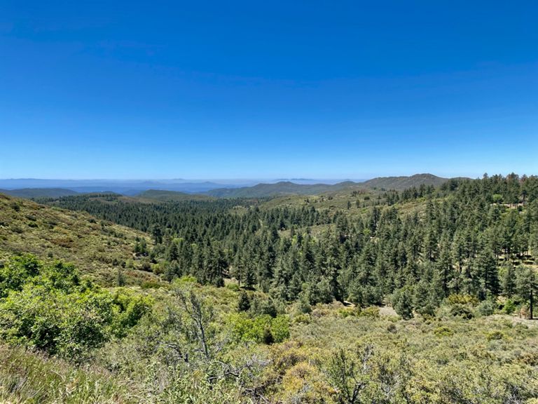
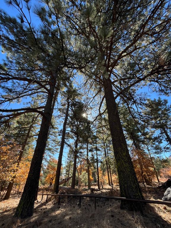
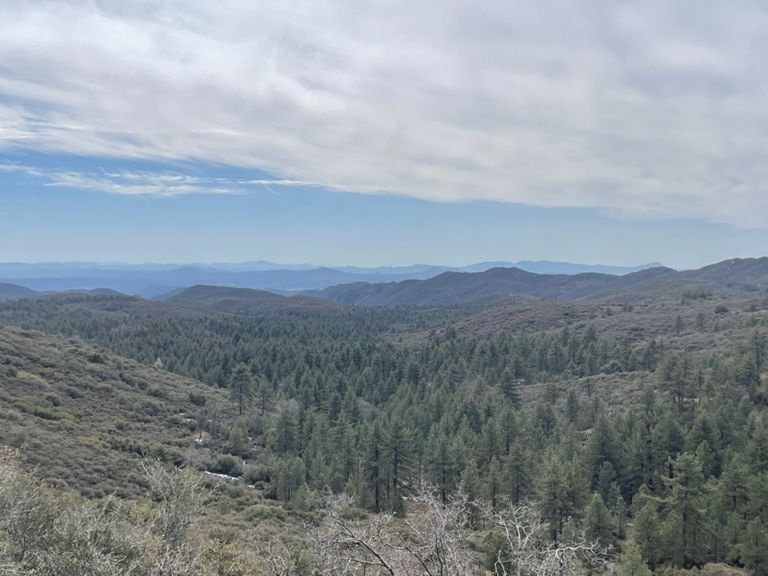
Mt Laguna from Pine Valley CCW + Return
骑行路线
详情
22.28英里
2,610英尺
路线和海拔
路段
| 名字 | 距离 | 海拔高度差 | 平均坡度 |
|---|---|---|---|
| Pine Valley to Mt Laguna Store | 10.77英里 | 2,238英尺 | 3.7% |
| Pine Valley to Sunrise Highway | 1.08英里 | 331英尺 | 5.8% |
| PV Warm-Up | 1.05英里 | 341英尺 | 5.9% |
| Pine to half | 5.07英里 | 1,194英尺 | 4.5% |
| Sunrise Hwy - Old Hwy 80 to Summit | 8.01英里 | 1,932英尺 | 4.5% |
| Sunrise Hwy complete climb (Laguna Rec sign to 6000ft Summit sign) | 9.94英里 | 1,926英尺 | 3.5% |
| 1st 4 miles of Sunrise Hwy. | 4.04英里 | 935英尺 | 4.4% |
| Sunrise Highway: Old 80 to Laguna Store | 9.55英里 | 1,942英尺 | 3.6% |
| Sunrise Highway | 6.55英里 | 1,654英尺 | 4.8% |
| Sunrise Highway Climb | 0.57英里 | 285英尺 | 9.4% |
| Half to store | 5.48英里 | 886英尺 | 2.6% |
| San Diego County Road S 1 Climb | 0.91英里 | 285英尺 | 5.9% |
| Desert View Rd Climb | 0.56英里 | 331英尺 | 11.2% |
| Desert View Rd Climb | 0.33英里 | 295英尺 | 16.9% |
| Sunrise Descent (Kitchen Creek rd to Pine Valley rd) | 6.80英里 | -1,644英尺 | -4.6% |
| Sunrise descent | 5.22英里 | -1,385英尺 | -5.0% |
| Sunrise Hwy descent: cow grate to trail | 3.07英里 | -823英尺 | -5.1% |
| Sunrise Hwy Sheephead Mountain | 0.70英里 | -220英尺 | -5.9% |
| Sunrise descent to pull-off | 2.46英里 | -584英尺 | -4.5% |
| Shepherd trail to bridge | 1.72英里 | -413英尺 | -4.5% |
| Old Hwy 80 | 0.80英里 | -233英尺 | -5.5% |