Actividades
Deportes más destacados
Carrera
Ciclismo
Caminata
Senderismo
Carrera
Ciclismo
Funciones
Mapas
Retos
Suscripción
Iniciar sesión
Únete gratis
Suscribirse
Inicio
Actividades
Carrera
Ciclismo
Caminata
Senderismo
Funciones
Mapas
Retos
Suscripción
Asistencia
Suscribirse
Iniciar sesión
Obtén la aplicación
+ 194
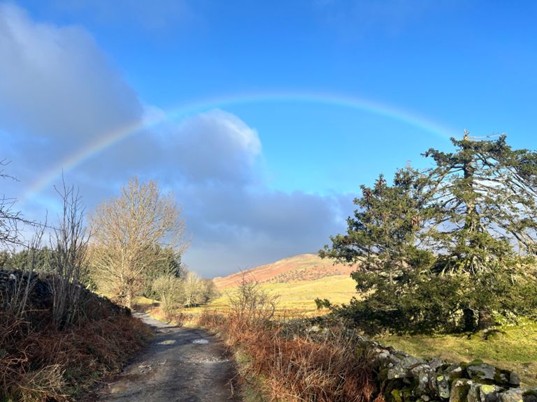
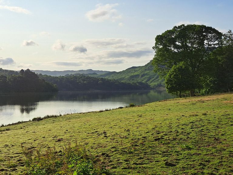
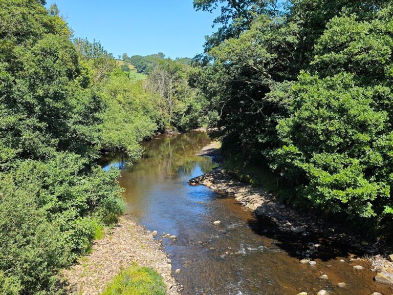
Albion - Coast to Coast
Ruta ciclística
Guardar
Compartir
Detalles
495.24 km
10,075 m
Creada por
Charlie S
17 de julio de 2019
·
Público
Ruta y desnivel
Segmentos
Nombre
Distancia
Diferencia de altitud
Pendiente media
Egton High Moor
6.74 km
269 m
4.0%
Rosedale Chimney
1.34 km
183 m
13.6%
Rosedale Chimney steepest part
0.45 km
76 m
16.7%
Kildale Kicker
0.36 km
13 m
3.6%
Tom Roy Rise
0.64 km
16 m
2.3%
Ingleby Bank Climb
0.94 km
91 m
9.6%
Murton Bank OFFICIAL Yorkshire Climbs
1.37 km
132 m
9.6%
Trapping Full - Bridge to Cattlegrid
6.87 km
289 m
4.2%
Trapping Hill Climb
1.19 km
112 m
9.4%
Lofthouse Descent
2.81 km
-246 m
-8.7%
Lofthouse to Pateley Bridge
10.33 km
-62 m
-0.5%
Pateley leg sapper
6.15 km
293 m
4.6%
the REAL first kick
0.23 km
29 m
12.5%
The Pinch - 1km @ 13%
0.97 km
123 m
12.6%
Greenhow
2.45 km
218 m
8.9%
Anchors ON !! 🙈
0.61 km
-67 m
-10.9%
Long ashes to Kettlewell
7.83 km
-77 m
-0.1%
Efac Dash
1.29 km
13 m
1.0%
Kettlewell to top of Coverdale
4.26 km
288 m
6.7%
Park Rash to Barn
0.83 km
120 m
14.4%
Park Rash HC
2.04 km
208 m
10.2%
Buttertubs Pass
2.23 km
201 m
9.0%
Coal Road without silly upper section
2.09 km
194 m
9.3%
White Shaw Moss
2.18 km
224 m
10.3%
winter lane climb
0.61 km
20 m
3.2%
Kirkstone Pass (top) to pub
2.58 km
164 m
6.2%
Green to Dalegarth
2.65 km
27 m
0.8%
Eskdale, Hardknott and Wrynose
13.91 km
365 m
2.6%
Sprint to Hardknot
6.48 km
65 m
1.0%
Dalegarth - Hardknott
3.91 km
44 m
1.1%
Hardknott's Pass
2.54 km
306 m
15.0%
The Hard
0.53 km
93 m
17.3%
Hardknott - Start to Stop
1.50 km
179 m
11.9%
Hardknott Pass - Section #2 Cruising Section
0.88 km
92 m
10.5%
The Knott
0.47 km
81 m
17.1%
The Official Hardknott East Descent
0.97 km
-146 m
-14.8%
Hardknott East Hairpins
0.48 km
-84 m
-17.4%
Wrynose Pass
1.79 km
146 m
8.1%
Wrynose ramp up (actual full climb)
0.92 km
106 m
11.5%
Wrynose Steep End
0.30 km
60 m
19.8%
Down Wrynose from the west
2.53 km
-284 m
-11.2%
Side Gates Climb
1.40 km
90 m
6.3%
Full Blea Tarn Climb to cattle grid
2.52 km
107 m
4.3%
Pass Of Dunmail Raise Climb
2.00 km
123 m
6.1%
Back of Thirlmere (north)
6.91 km
-6 m
-0.0%
Whinlatter
2.93 km
207 m
6.8%
Whinlatter - Lorton
7.94 km
232 m
0.6%
Bridge to car park
0.37 km
38 m
10.0%
Wheelslippin'
0.32 km
37 m
11.4%
Baddies Corner
1.17 km
-71 m
-6.0%