| One-way system Smack Down | 0.31英里 | -7英尺 | -0.4% |
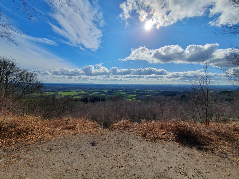
| Coldharbour Lane to Leith Hill - Summit | 5.82英里 | 600英尺 | 1.9% |
| Leith Hill - Full climb and descent | 8.23英里 | 581英尺 | 0.5% |
| Coldharbour Lane Long | 3.09英里 | 528英尺 | 3.2% |
| Coldharbour Lane leadout | 1.38英里 | 118英尺 | 1.6% |
| Coldharbour Base to Pub | 3.27英里 | 531英尺 | 2.8% |
| Coldharbour lane full | 1.90英里 | 413英尺 | 4.1% |
| Coldharbour Lanne climb | 3.07英里 | 522英尺 | 3.2% |
| The Full Leith from Knoll Rd | 4.93英里 | 502英尺 | 1.8% |
| Coldharbour Lane | 1.93英里 | 459英尺 | 7.1% |
| Boar Hill Coldharbour | 1.33英里 | 453英尺 | 6.4% |
| Coldharbour (full climb) | 1.54英里 | 456英尺 | 5.6% |
| Coldharbour Climb (full steep bit) | 1.19英里 | 430英尺 | 6.8% |
| Coldharbour Steep bit to pub | 1.91英里 | 430英尺 | 3.8% |
| Boar Hill, First Steep part | 0.60英里 | 295英尺 | 9.2% |
| Boar Hill / Coldharbour Lane | 1.11英里 | 404英尺 | 6.8% |
| Coldharbour Climb 2nd Half | 2.51英里 | 479英尺 | 3.0% |
| BPRCC Coldharbour | 1.63英里 | 413英尺 | 4.8% |
| WVC CLIMB LEITH HILL BASE TO PUB | 1.93英里 | 410英尺 | 3.7% |
| Coldharbour first steep bit to Logmore Lane | 0.31英里 | 184英尺 | 11.1% |
| DCC Coldharbour | 1.56英里 | 358英尺 | 4.3% |
| Coldharbour Ln from base of climb | 1.29英里 | 213英尺 | 3.1% |
| Abinger Rd | 1.14英里 | -141英尺 | -2.1% |
| Abinger Rd | 0.47英里 | -75英尺 | -0.8% |
| Col de Backsted | 0.55英里 | 118英尺 | 2.8% |
| Top of Leith Hill to Abinger | 1.57英里 | -180英尺 | -2.0% |
| Recover through the woods | 1.38英里 | -213英尺 | -2.9% |
| WVC DESCENT LEITH HILL, SHEEPHOUSE TO ABINGER FORK | 1.18英里 | -243英尺 | -3.9% |
| Leith Hill top to bottom | 2.24英里 | -417英尺 | -3.4% |
| Down Leith Hill v2 | 1.95英里 | -394英尺 | -3.8% |
| Leith hill just one more segment to annoy you all | 1.70英里 | -361英尺 | -4.0% |
| Pull back up to the main road | 0.53英里 | -79英尺 | -1.1% |
| Hackhurst Lane Climb | 0.40英里 | -23英尺 | -1.1% |
| KIngsHeads Brow | 2.66英里 | 266英尺 | 1.6% |
| Abinger Hammer to Leith Hill Road | 3.70英里 | 364英尺 | 1.6% |
| Abinger - Holmbury St Mary | 2.48英里 | 210英尺 | 1.6% |
| Holmbury St Mary from Raikes Lane to Radnor Rd | 1.22英里 | 121英尺 | 1.9% |
| Belmont climb | 0.62英里 | 161英尺 | 4.9% |
| Pasture Wood Rd - Climb to Moon Hall School | 0.18英里 | 102英尺 | 10.4% |
| Leith Hill from Pasture Wood Lane | 1.53英里 | 233英尺 | 2.8% |
| Leith Hill Lane | 1.42英里 | 203英尺 | 2.7% |
| Leith Hill descent | 1.01英里 | -394英尺 | -7.3% |
| Leith Hill descent South | 0.99英里 | -351英尺 | -6.7% |
| Leith Hill Lane Descent | 0.83英里 | -292英尺 | -6.7% |
| Mole St to A29 | 1.00英里 | -72英尺 | -1.3% |
| Broomehall Rd (Surrey Cyclone) | 2.22英里 | 577英尺 | 4.9% |
| Broome Hall Road | 1.68英里 | 394英尺 | 4.4% |
| Broomehall Rd | 1.43英里 | 361英尺 | 5.0% |
| Broomehall Road Climb | 1.36英里 | 390英尺 | 5.4% |
| Broomehall top half with final kick to the left | 0.59英里 | 164英尺 | 5.2% |