| JJ's to Bingham Hill Rd. | 8.88 mi | 512 ft | 0.0% |
| just visiting | 0.74 mi | 144 ft | 3.6% |
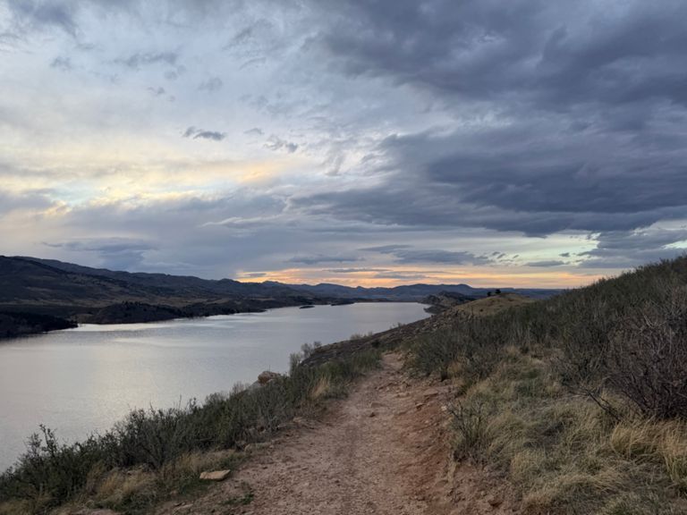
| Beginning of switchback to top of last climb before end of Reservoir | 6.05 mi | 479 ft | 1.1% |
| Harmony to Horsetooth Cliffs Way | 1.63 mi | 436 ft | 5.0% |
| Harmony to top of Maniac | 1.83 mi | 453 ft | 4.7% |
| First Horsetooth Switchback, ascending | 0.61 mi | 184 ft | 5.6% |
| Res Roads North! | 7.36 mi | -535 ft | -0.8% |
| Maniac - Just to the signpost | 0.59 mi | 223 ft | 7.0% |
| Maniac Hill | 0.76 mi | 223 ft | 5.3% |
| Soldier Hill | 0.65 mi | 269 ft | 7.6% |
| SH climb proper | 0.51 mi | 226 ft | 8.3% |
| Steep Soldier | 0.03 mi | 66 ft | 36.9% |
| Soldier Hill Summit to North Dam Going North - Descending | 2.15 mi | -233 ft | -2.1% |
| North Dam going north | 0.50 mi | 148 ft | 5.3% |
| Over the rail shoreline trail | 0.32 mi | 105 ft | 5.8% |
| Down the Wall | 0.50 mi | -279 ft | -10.5% |
| North Dam descent | 1.33 mi | -331 ft | -4.7% |
| ~1k interval | 0.50 mi | -46 ft | -1.7% |
| Bellvue - Stove Prairie Rd | 12.42 mi | 2,881 ft | 3.4% |
| Coffee shop to the top | 10.91 mi | 2,881 ft | 5.0% |
| Suri Trail Climb | 1.52 mi | 269 ft | 3.4% |
| Whale Rock | 3.14 mi | 643 ft | 3.8% |
| Buckhorn Loop CC | 34.43 mi | 2,871 ft | 0.2% |
| Bellvue to Masonville the hard way | 26.48 mi | 2,831 ft | 0.2% |
| Rist Canyon shy of summit | 3.86 mi | 843 ft | 4.1% |
| Rist Canyon | 9.29 mi | 2,608 ft | 5.3% |
| Dirt Road to Whale Rock | 1.57 mi | 384 ft | 4.6% |
| Rist - dirt road to mailboxes | 3.88 mi | 984 ft | 4.8% |
| Dirt Road to 2nd Mailboxes | 7.07 mi | 1,752 ft | 4.7% |
| Rist - Dirt Road to Fire Station | 4.86 mi | 1,299 ft | 5.0% |
| Rist - 3K TT Course | 1.98 mi | 623 ft | 6.0% |
| Mountain Meadow Ln Climb | 1.36 mi | 322 ft | 4.5% |
| Stratton Park Rd Climb | 0.80 mi | 338 ft | 7.9% |
| Rist climb through the trees | 0.68 mi | 318 ft | 8.7% |
| Rist Canyon Rd Climb | 0.73 mi | 289 ft | 7.4% |
| County Road 41 Climb | 0.54 mi | 282 ft | 9.9% |
| Rist last kicker | 0.48 mi | 243 ft | 9.4% |
| West side of Rist descent to Stove Prairie | 1.26 mi | -604 ft | -9.0% |
| Stove Prairie to Masonville Descent | 14.20 mi | -1,975 ft | -2.6% |
| Buckhorn Canyon descent | 6.75 mi | -1,135 ft | -3.2% |
| Stove Prairie descent kicker | 0.42 mi | 108 ft | 4.5% |
| Buckhorn downhill Bear's Lair to Masonville | 5.44 mi | -715 ft | -2.3% |
| From Masonville | 8.75 mi | -479 ft | -0.3% |
| W Co Rd 38E, from Co Rd 25E northeast to summit | 2.41 mi | 394 ft | 3.0% |
| Overhill Dr Climb | 1.33 mi | 328 ft | 4.7% |
| HT park to Blue Sky descent | 0.78 mi | -266 ft | -6.5% |
| 38E - Blue Sky to Parking Lot climb eastbound | 0.56 mi | 177 ft | 5.9% |
| CO 38E Campsites to Centennial | 1.82 mi | 43 ft | 0.1% |
| First Horsetooth Switchback, descending | 0.59 mi | -167 ft | -5.3% |
| Harmonize Shields to College | 0.68 mi | -33 ft | -0.7% |