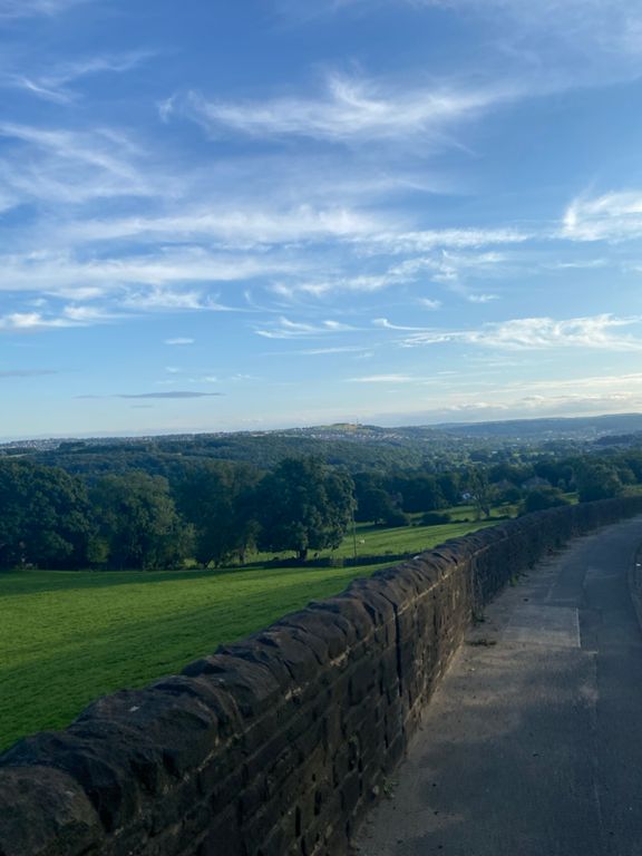
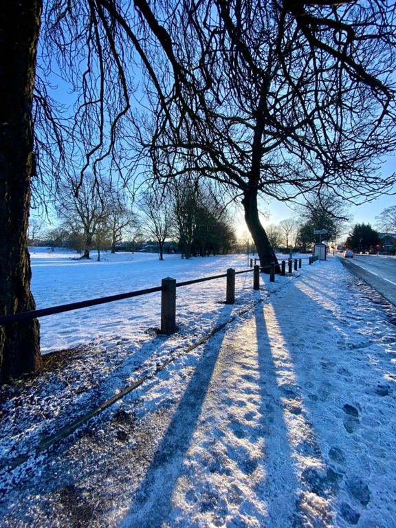
| Leeds Rd Thackley Corner to Carr Lane | 2.49 公里 | -50 公尺 | -2.0% |
| Leeds Road Downhill Sprint | 2.11 公里 | -39 公尺 | -1.8% |
| Junk City to junk food (Maccies) - wonder how many of these times are done on a bike? | 1.42 公里 | -51 公尺 | -3.6% |
| Baildon Road - Hawksworth Lane | 4.47 公里 | 98 公尺 | 2.0% |
| Nuffield dash | 0.44 公里 | -8 公尺 | -1.9% |
| Green light! | 0.38 公里 | -7 公尺 | -1.8% |
| Otley Road Drag | 4.35 公里 | 97 公尺 | 2.1% |
| Otley Road - Railway Bridge to Kirklands | 0.76 公里 | 6 公尺 | 0.6% |
| Measured Mile - Otley Rd, Baildon | 1.61 公里 | 9 公尺 | 0.1% |
| Full Hollins Hill Climb | 3.28 公里 | 94 公尺 | 2.8% |
| Otley road footpath to garage | 0.78 公里 | 8 公尺 | 0.2% |
| The Whole of Hollins | 2.32 公里 | 94 公尺 | 3.6% |
| Hollins Hill Climb | 1.01 公里 | 38 公尺 | 3.2% |
| Southway Climb | 1.39 公里 | 90 公尺 | 6.5% |
| Hollins Hill Sprint | 0.25 公里 | 13 公尺 | 5.0% |
| Hill 1 | 0.67 公里 | 38 公尺 | 5.1% |
| Hollings lights to top | 0.69 公里 | 51 公尺 | 7.2% |
| Half a Hill on Hollings | 0.95 公里 | 52 公尺 | 5.5% |
| Hill 2 | 0.65 公里 | 45 公尺 | 6.8% |
| Bradford Road to M&S | 1.02 公里 | -30 公尺 | -2.9% |
| Bradford Rd to HQ | 0.91 公里 | -25 公尺 | -2.8% |
| Morrisons to Macdonalds Dash | 0.88 公里 | -17 公尺 | -1.9% |
| Costa to Dibb Lane | 0.86 公里 | 9 公尺 | 0.6% |
| Kirk Lane to Westfield Ave | 0.34 公里 | 5 公尺 | 1.4% |
| Crofters to Barfield Downhill | 0.46 公里 | -12 公尺 | -2.4% |
| Leeds Road Climb | 0.94 公里 | 40 公尺 | 4.3% |
| Rawdon roundabout to Horsforth roundabout | 3.68 公里 | -77 公尺 | -1.0% |
| Rawdon - Steady - Go | 0.52 公里 | 24 公尺 | 4.5% |
| A65 (Over Lane to Layton Lane) | 1.30 公里 | -39 公尺 | -3.0% |
| A65 Over Lane to Horsforth Roundabout | 2.68 公里 | -71 公尺 | -2.7% |
| Over Lane - Hall Lane | 2.26 公里 | -60 公尺 | -2.6% |
| Horsforth to Rodley Roundabout | 1.51 公里 | -43 公尺 | -1.7% |
| Broadway Decent | 0.94 公里 | -45 公尺 | -4.6% |
| Calverley La. to Calverley La. climb | 1.64 公里 | 73 公尺 | 4.5% |
| Rodley to Claverly Climb | 0.88 公里 | 47 公尺 | 5.3% |
| Calverley Climb | 1.78 公里 | 57 公尺 | 3.2% |
| Rodley to Green Gates | 3.15 公里 | 59 公尺 | 0.4% |
| P&B Speed Camera to the Park Gate | 0.69 公里 | 22 公尺 | 2.9% |
| Bus stop to Wood Lane. | 0.59 公里 | -9 公尺 | -0.8% |
| Greengates Descent | 1.41 公里 | -42 公尺 | -3.0% |
| P&B Calverley Cutting Downhill | 0.68 公里 | -30 公尺 | -4.3% |
| P&B Carr Rd Descent | 0.64 公里 | -29 公尺 | -4.4% |


