


+ 26
Ptbo Cycle Route 1A – Lakes, Rivers & Cafes 45
Cycling Route
Details
46.82 km
420 m
Peterborough & the Kawarthas has long been a favourite destination for cyclists of all types…especially road cyclists.
The combination of rolling drumlin hills, scenic lake vistas and winding rural roads make for challenging and diverse riding opportunities. They can be used for training just as easily as they can be used for a casual ride with friends and family.
The Peterborough & the Kawarthas Classics include:
Route 1 – Lakes, Rivers & Cafes 60
Route 1A – Lakes, Rivers & Cafes 45
Route 2 – The Cottage Country 100
Route 2A – the Cottage Country 80
Route 3 – Hills, Views & Pastries 80
Route 3A – Hills, Views & Pastries 65
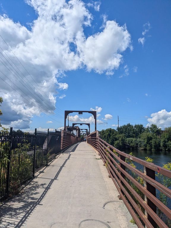
Over 160 signs have been installed throughout the City and County of Peterborough to help riders stay on track.
The combination of rolling drumlin hills, scenic lake vistas and winding rural roads make for challenging and diverse riding opportunities. They can be used for training just as easily as they can be used for a casual ride with friends and family.
The Peterborough & the Kawarthas Classics include:
Route 1 – Lakes, Rivers & Cafes 60
Route 1A – Lakes, Rivers & Cafes 45
Route 2 – The Cottage Country 100
Route 2A – the Cottage Country 80
Route 3 – Hills, Views & Pastries 80
Route 3A – Hills, Views & Pastries 65
Over 160 signs have been installed throughout the City and County of Peterborough to help riders stay on track.
Created By
Ptbo Cycle The Kawarthas

Route and Elevation
Segments
| Name | Distance | Elev. Diff. | Avg. Grade |
|---|---|---|---|
| BridgeNorth (#1) | 6.57 km | -37 m | -0.0% |
| Bridgnorth Bar drag | 0.38 km | -21 m | -4.9% |
| Flying Down 7th | 3.50 km | -16 m | -0.2% |
| Down and Out in Lakefield | 0.36 km | -9 m | -2.2% |
| Lakefield Wind-Up | 0.78 km | -8 m | -0.7% |
| River Road heading South | 7.78 km | -14 m | -0.1% |
| Trent Sprint | 0.92 km | -6 m | -0.1% |
| Rotary Trail (Trent-East City) | 5.50 km | -21 m | -0.3% |
| Rotary Trail to Parkhill | 1.99 km | -7 m | -0.3% |