| Corner to Bus Stop | 0.29 mi | -20 ft | -0.0% |
| Turn to bus stop | 0.43 mi | 59 ft | 2.6% |
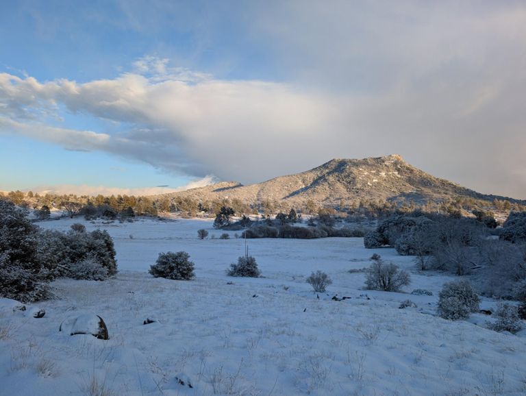
| viejas grade | 4.23 mi | 4,065 ft | 0.9% |
| Viejas: From the start of the dirt to the top | 3.84 mi | 1,155 ft | 5.7% |
| Viejas 1.8 mark | 1.79 mi | 531 ft | 5.6% |
| Down Viejas Grade | 2.14 mi | -312 ft | -2.1% |
| 79 - Cam De Tierra to East Mesa Parking Lot | 2.11 mi | 443 ft | 4.0% |
| cuyamaca westside northbound | 1.48 mi | 210 ft | 2.5% |
| Cuyamaca Westside ST - Northbound | 1.06 mi | 131 ft | 2.3% |
| Upper Green Valley Climb Full | 4.41 mi | 755 ft | 3.2% |
| Upper Green Valley Fire Road Climb (Northbound) | 3.12 mi | 344 ft | 2.0% |
| Green Valley ST to La Cima Fork | 1.95 mi | 541 ft | 5.3% |
| Long Grind | 1.19 mi | 427 ft | 6.8% |
| Horseshoe Bonus Loop | 4.91 mi | 446 ft | 1.4% |
| ST to Sunrise Hwy | 1.22 mi | 440 ft | 6.8% |
| La Cima/Green Valley Fork to SR Lot Fork | 1.38 mi | -171 ft | -2.2% |
| La Cima - Upper Green Valley to Soapstone | 3.61 mi | -197 ft | -0.3% |
| Poker Ride Middle Hill | 0.89 mi | 177 ft | 3.6% |
| La Cima SR Lot Fork to Soapstone | 2.29 mi | 180 ft | 1.0% |
| La Cima GiddyUp - Oak Trees to Soapstone FR | 1.45 mi | -105 ft | -0.7% |
| Soapstone Fire Road | 1.91 mi | -151 ft | -1.4% |
| Last Big Climb | 2.89 mi | 764 ft | 5.0% |
| Lake Cuyamaca to Azalea Spring Summit | 2.99 mi | 791 ft | 5.0% |
| Lake Cuyamaca to Lookout Road Pavement to Pavement | 2.91 mi | 745 ft | 4.8% |
| Milk Ranch Climb | 1.60 mi | 446 ft | 5.3% |
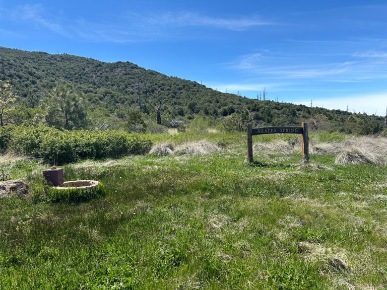
| Azalea Spring Climb | 1.08 mi | 295 ft | 5.2% |
| Milk Ranch Rd to Spring | 0.70 mi | 213 ft | 5.7% |
| Coldstream ST Southbound to Upper Green Valley Cutoff | 0.72 mi | -85 ft | -2.2% |
| Lets Fly | 4.83 mi | -541 ft | -2.1% |
| Uphill rip to the campsite | 0.43 mi | 98 ft | 4.3% |
| East Mesa DH to Lot | 0.44 mi | -102 ft | -4.3% |
| Raintree to Mizpah | 1.03 mi | -105 ft | -1.7% |
| Viejas Grade Ascent | 1.40 mi | 276 ft | 3.4% |
| Down Viejas Grade Rd to Willows | 6.42 mi | -1,394 ft | -4.1% |
| Down Viejas Grade Rd | 3.68 mi | -1,161 ft | -6.0% |
| Cow Highway | 1.59 mi | -164 ft | -2.0% |
| Willows Straight | 0.34 mi | -39 ft | -2.0% |