+ 15
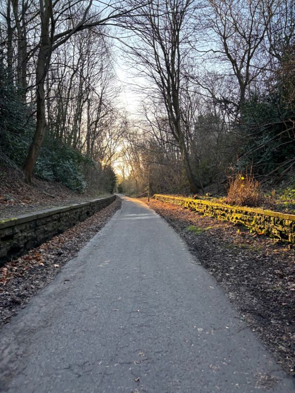
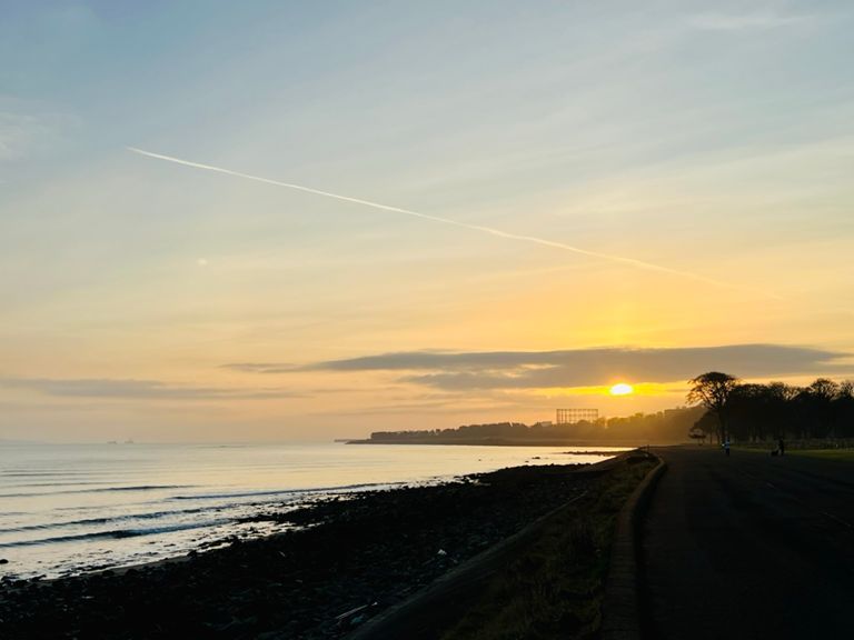
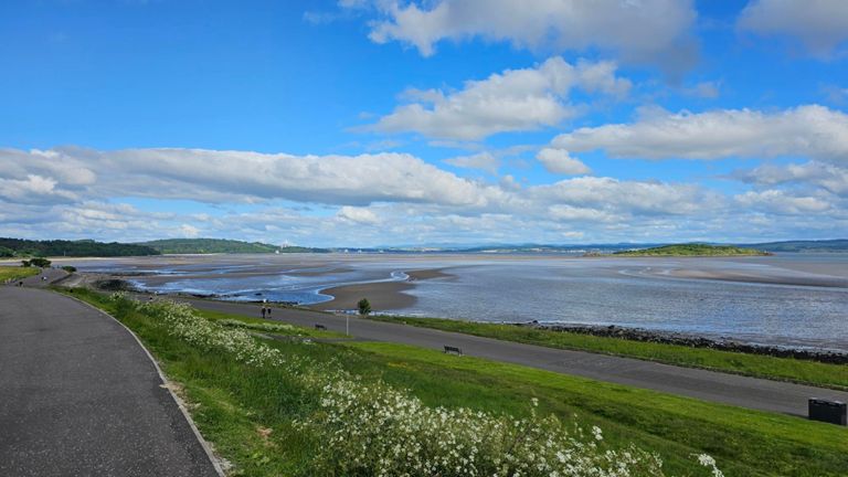
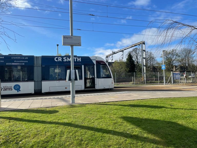
Drum Brae, Clemiston, Davidson Mains, Silverknowes, Pilton, Drylaw, Craigleith, Murrayfield - 10 miles from South end of Clemiston Road Clockwise
自行車路線
詳細資訊
10.16 英里
469 呎
路線和海拔
路段
| 名稱 | 距離 | 海拔差異 | 平均坡度 |
|---|---|---|---|
| Drum Brae Terrace Eastbound | 0.31 英里 | 13 呎 | 0.9% |
| Pigs in space! | 0.19 英里 | -10 呎 | -0.8% |
| Doon the Wids | 0.19 英里 | -30 呎 | -0.3% |
| Shore descent long | 0.58 英里 | -98 呎 | -3.2% |
| Shore Decent | 0.48 英里 | -89 呎 | -3.4% |
| Marine Drive Rise | 0.91 英里 | 49 呎 | 1.0% |
| Marine Drive ascent | 1.05 英里 | 75 呎 | 1.4% |
| Segment | 0.79 英里 | 46 呎 | 1.1% |
| Pennywell Rd Uphill | 0.53 英里 | 43 呎 | 1.5% |
| Craigleith Crescent Southbound | 0.42 英里 | 49 呎 | 1.4% |
| ellersly fun fun fun | 0.27 英里 | -39 呎 | -2.6% |
| Saughtonhall Shoogle (Southbound) | 0.36 英里 | 10 呎 | 0.4% |
| Take off @ Tramstop | 0.59 英里 | 33 呎 | 1.0% |
| Tramway westbound | 0.47 英里 | 10 呎 | 0.3% |
| Feel The Burn | 0.11 英里 | 23 呎 | 4.2% |
| Carrick Knowe Ave downhill | 0.33 英里 | -33 呎 | -1.7% |