

+ 20
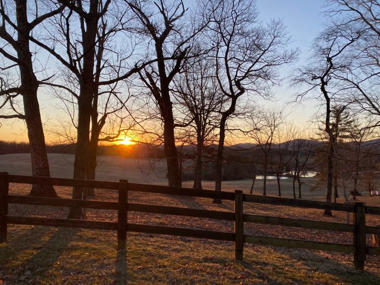
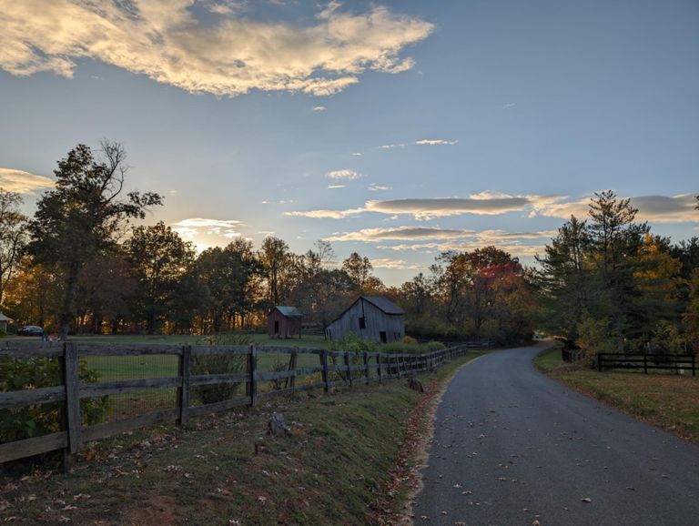
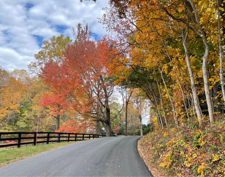
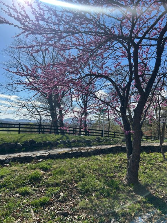
Newtown - Afton - Ortman
骑行路线
详情
27.62英里
2,320英尺
路线和海拔
路段
| 名字 | 距离 | 海拔高度差 | 平均坡度 |
|---|---|---|---|
| Powells Creek Hill on Jarmans | 0.43英里 | 56英尺 | 1.9% |
| Jarmans Gap Rd from Crozet | 2.51英里 | 207英尺 | 1.5% |
| Jarmans Chug | 1.02英里 | 128英尺 | 2.4% |
| Shamrock Farm Climb | 0.32英里 | -10英尺 | -0.5% |
| Monteray Farm | 0.27英里 | 39英尺 | 2.6% |
| Greenwood-Newtown | 1.10英里 | 289英尺 | 5.0% |
| Just Greenwood | 0.92英里 | 269英尺 | 5.5% |
| Greenwood To New Town Up and Down | 3.35英里 | -335英尺 | -0.3% |
| Up to the gates of no man's land | 0.93英里 | 266英尺 | 5.4% |
| Newtown Descent | 2.34英里 | -364英尺 | -3.0% |
| Newtown 64 to stop | 1.21英里 | -243英尺 | -3.8% |
| Rockfish Gap Turnpike Climb | 0.20英里 | 285英尺 | 26.4% |
| 250 to Post Office | 2.05英里 | 482英尺 | 4.2% |
| Halfton | 1.79英里 | 466英尺 | 4.9% |
| Afton Twisty Side | 1.79英里 | 456英尺 | 4.8% |
| Afton Intervals | 0.80英里 | 292英尺 | 6.9% |
| B'ville Rd flyzone. | 1.30英里 | -49英尺 | -0.2% |
| Stockton Mill Creek Climb +167ft | 1.04英里 | 184英尺 | 3.3% |
| Farm to Yellow Mtn | 0.34英里 | 52英尺 | 2.7% |
| 250 to Greenwood Station ChooChoo | 1.16英里 | 171英尺 | 2.8% |
| Greenwood - Jarmans | 1.41英里 | -144英尺 | -1.9% |
| Jarmins Gap Paceline | 2.45英里 | -236英尺 | -1.8% |
| Jarmans flyby | 1.08英里 | -144英尺 | -2.5% |
| Jarmans LT to CA | 1.47英里 | -118英尺 | -0.9% |
| Jarman's Finish Sprint (OT to Top of Bump) | 0.45英里 | -59英尺 | -2.0% |
| Mudhouse sprint | 0.12英里 | 20英尺 | 3.0% |