Activities
Top Sports
Running
Cycling
Walking
Hiking
Running
Cycling
Features
Maps
Challenges
Subscription
Log In
Join for Free
Sign Up
Home
Activities
Running
Cycling
Walking
Hiking
Features
Maps
Challenges
Subscription
Support
Sign Up
Log In
Get the App
+ 150
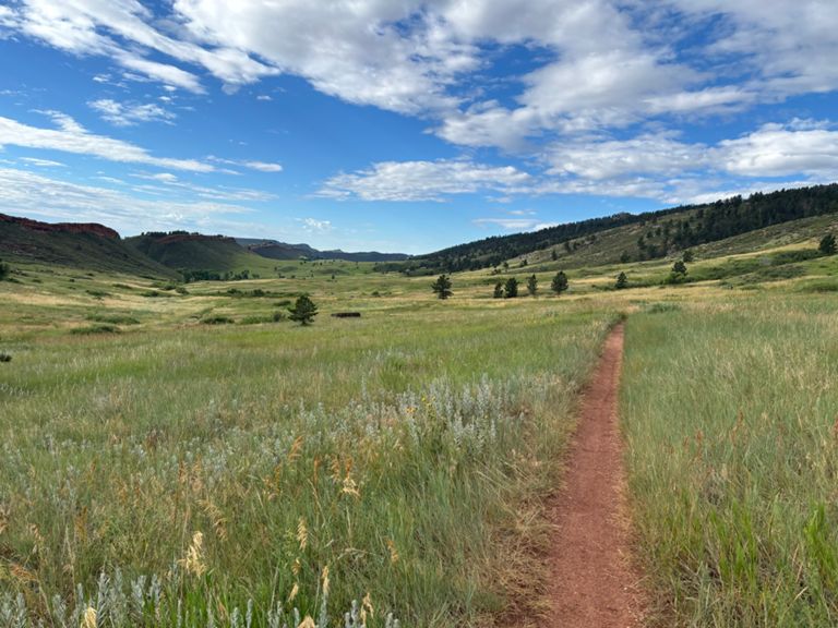
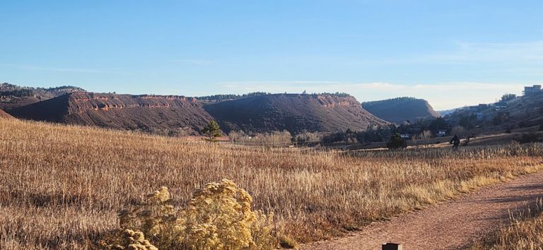
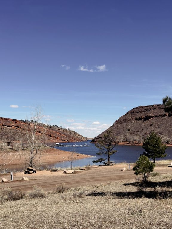
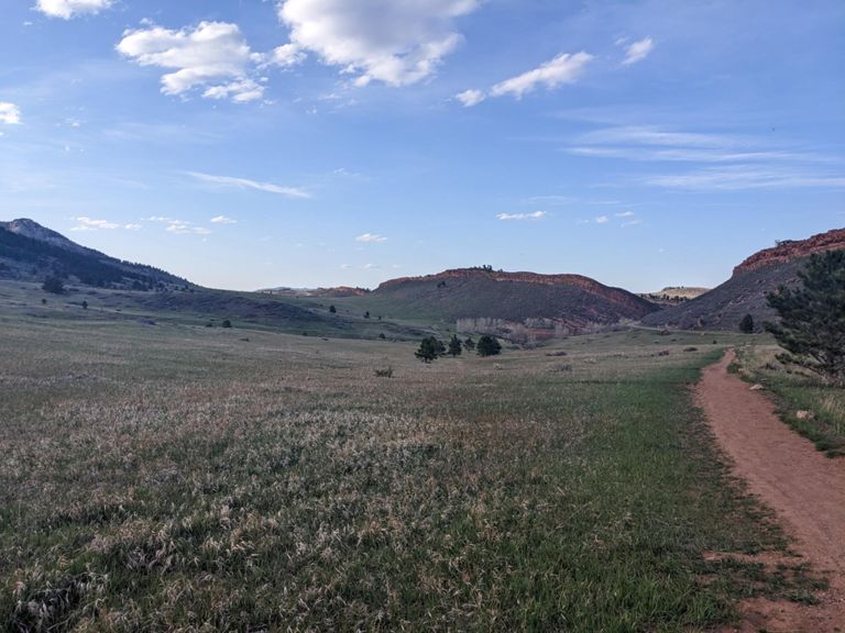
Four Seasons of Horsetooth Mountain Bike Challenge
Cycling Route
Save
Share
Details
20.11 mi
2,912 ft
Created By
Jordan Radin
September 16, 2020
·
Public
Route and Elevation
Segments
Name
Distance
Elev. Diff.
Avg. Grade
Four Seasons of Horsetooth Challenge
20.54 mi
1,476 ft
0.0%
4SOH Valley Dash: Start to Blue Sky Lot
6.50 mi
-177 ft
-0.2%
Softman of horsetooth plan B
20.43 mi
1,476 ft
0.0%
East Valley Trail: North to Arthur's Rock Lot
1.75 mi
157 ft
1.2%
South Valley Sandy Downhill
0.63 mi
-164 ft
-4.6%
Clint's Knapping Rock Southbound To 1st Bridge
0.65 mi
-141 ft
-4.1%
Hucka yucca to Sandy Shoreline
0.55 mi
-157 ft
-5.1%
Shorline Fast Section
0.56 mi
-98 ft
-3.2%
Soderburg Sprint
0.37 mi
-59 ft
-2.4%
Soderburg pkg lot so to Blue Sky Pkg lot
1.26 mi
33 ft
0.1%
Blue Sky Parking to Top HTMP
3.15 mi
1,352 ft
8.1%
Shoreline Drive to Mountain Park Entrance
0.77 mi
266 ft
6.4%
HTTT-3rd climb
0.70 mi
243 ft
6.5%
Service road to top of switchbacks
1.40 mi
676 ft
9.1%
HTMP service road (lower entrance to TOP
1.98 mi
1,083 ft
10.3%
Horsetooth Mtn Park Service Road
1.95 mi
974 ft
9.5%
Southridge/Wathen
3.43 mi
1,020 ft
2.4%
Southridge Climb
1.96 mi
1,037 ft
10.0%
Southridge To Bench
0.54 mi
285 ft
9.4%
Renegade South Ridge TT
2.15 mi
1,047 ft
9.1%
HTMP Service Rd to Audra Culver
1.72 mi
879 ft
9.7%
South Ridge Horsetooth Rock Bypass
1.33 mi
764 ft
10.8%
Southridge "Four Horsemen"
0.25 mi
151 ft
10.8%
Wathen Trail Climb
0.44 mi
308 ft
13.1%
Southridge Steepness
0.09 mi
82 ft
16.9%
Wathen Drop-in
0.08 mi
-52 ft
-12.0%
Wathen (Official)
1.13 mi
-558 ft
-9.3%
Wathen DH
0.77 mi
-528 ft
-12.9%
Herrington Climb
0.26 mi
128 ft
9.0%
One Mile DH
1.12 mi
-502 ft
-8.3%
Carey drop in
0.20 mi
-128 ft
-12.1%
Carey Springs DH Only (w/ better start)
0.37 mi
-207 ft
-10.6%
Carey Springs DH only
0.32 mi
-220 ft
-12.8%
Carey Springs/Loggers/Sawmill Descent to Nomad Trail
2.27 mi
-984 ft
-8.2%
Carey-Sawmill w/o Nomad
1.94 mi
-850 ft
-8.2%
Carey Springs Decent to SawMill
0.66 mi
-269 ft
-7.6%
Carey Springs decent to Loggers
0.46 mi
-210 ft
-8.5%
Carey Springs / Loggers / Sawmill Descent
1.98 mi
-922 ft
-8.8%
true carey dh
0.25 mi
-157 ft
-11.7%
Slash pile slalom
0.31 mi
-203 ft
-12.0%
Sawmill DH Loggers to Intersection
1.11 mi
-577 ft
-9.8%
Sawmill With New Lower North Re Route
1.30 mi
-686 ft
-10.0%
Heart 'o the Sawmill
1.01 mi
-453 ft
-8.5%
4SOH Valley Dash: Sawmill to Kimmons
2.86 mi
128 ft
0.1%
ToC (2018) Transition 5-6
1.74 mi
-154 ft
-0.7%
W Valley Trail- Arthur's Rock to Well Gulch
1.09 mi
-167 ft
-2.3%
ToC (2018) - Stage 6
1.19 mi
489 ft
7.8%
Kimmons climb Timber descent
3.01 mi
-545 ft
-0.0%
ToC (2018) - Stage 7
1.91 mi
-518 ft
-4.9%
Lower Timber- DH
1.51 mi
-548 ft
-6.8%