Activities
Top Sports
Running
Cycling
Walking
Hiking
Running
Cycling
Features
Maps
Challenges
Subscription
Log In
Join for Free
Sign Up
Home
Activities
Running
Cycling
Walking
Hiking
Features
Maps
Challenges
Subscription
Support
Sign Up
Log In
Get the App
+ 133
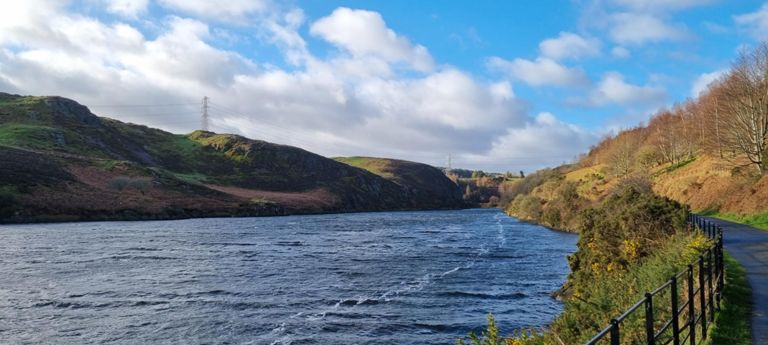
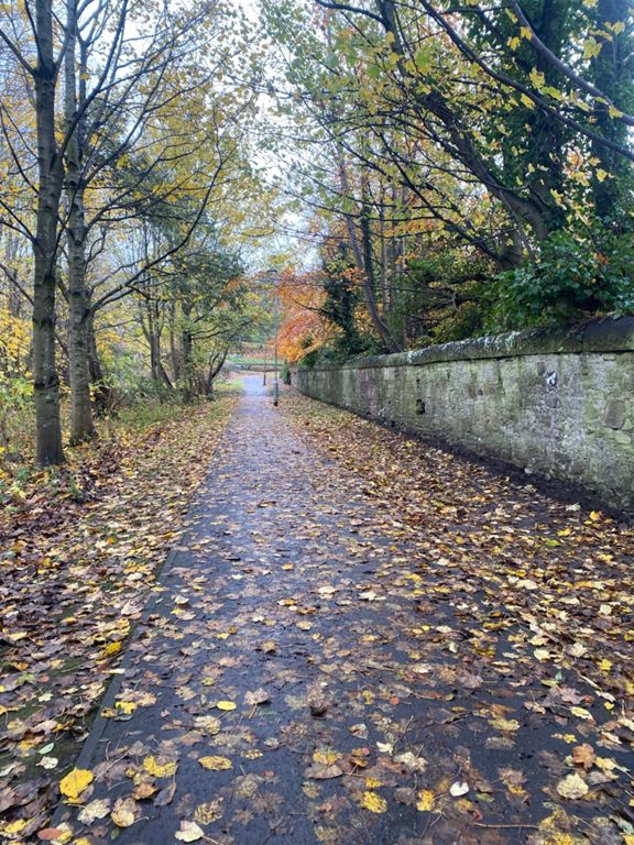
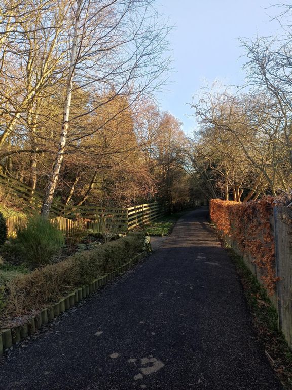
Gordon Ride Sunday 4th October 2 Reservoirs
Cycling Route
Save
Share
Details
20.53 mi
993 ft
Created By
Gordon 😆 Robertson
September 28, 2020
·
Public
Route and Elevation
Segments
Name
Distance
Elev. Diff.
Avg. Grade
Egg chasing out of town
0.30 mi
10 ft
0.0%
Blades of Glory
0.31 mi
7 ft
0.3%
Take off @ Tramstop
0.59 mi
33 ft
1.0%
Tramway westbound
0.47 mi
10 ft
0.3%
Feel The Burn
0.11 mi
23 ft
4.2%
Meadowhse Out
0.37 mi
10 ft
0.4%
just the dove (West)
0.20 mi
7 ft
0.5%
Dodging the school run
0.23 mi
13 ft
1.2%
Redheughs Past RBS
0.20 mi
-13 ft
0.0%
Railway Overpass Gravel Sprint
0.23 mi
26 ft
2.1%
Tunnel to Bridge
0.10 mi
26 ft
4.1%
Gogarbank West - Short
0.31 mi
20 ft
1.2%
Hermiston House Hill
0.37 mi
69 ft
3.4%
Hermiston Canal Hill
0.21 mi
39 ft
3.6%
Uni Woods Sprint
0.23 mi
10 ft
0.7%
Currie Hell Road
0.20 mi
56 ft
5.0%
From in the uni to turn aff
0.73 mi
69 ft
1.8%
Uni Exit to the Station
0.45 mi
26 ft
0.5%
Harlaw Hook
0.37 mi
69 ft
3.2%
Harlow Road Climb
1.33 mi
223 ft
3.2%
Balerno to Harlaw full climb
1.55 mi
289 ft
3.4%
The Roaring Twenties
0.21 mi
52 ft
4.7%
Balerno Harlaw Road Climb
1.23 mi
197 ft
3.0%
Halfway Harlaw
0.38 mi
66 ft
3.1%
Last house to Harlaw
0.75 mi
131 ft
3.3%
climb to farm
0.62 mi
112 ft
3.4%
Last climb to Harlaw
0.23 mi
36 ft
3.1%
Harlaw Road - Corner to Farm
0.84 mi
-75 ft
-0.8%
Harlaw to Kirkgate
0.70 mi
-62 ft
-1.1%
Harlaw to Torduff
2.70 mi
-135 ft
-0.9%
Top of Kirkgate to first gate after farm
0.57 mi
-30 ft
-0.0%
Kirkgate to Bonaly Road
2.47 mi
-276 ft
-1.9%
Top of Kirkgate to the farm
0.30 mi
-26 ft
-0.7%
Kirkgate to Torduffgate
1.92 mi
-128 ft
-1.0%
Farm to end of Bonaly Road
2.54 mi
-344 ft
-2.3%
Corners to Dam
1.10 mi
-98 ft
-1.5%
Clubbiedean Flyer - west to east
0.31 mi
-7 ft
-0.4%
Bridge to Bridge
0.22 mi
-52 ft
-3.9%
Torduff Sprint
0.41 mi
-33 ft
-1.6%
Torduff Rd Sprint
0.09 mi
-10 ft
-0.8%
From the school to the main road
0.35 mi
-95 ft
-5.0%
Big Bridge to Little Bridge
1.03 mi
-115 ft
-1.8%
speed camera
0.18 mi
-20 ft
-0.5%
Water of Leith visitors centre to Stenhouse rd
0.97 mi
-33 ft
-0.6%
Return to Blades of Glory
0.32 mi
23 ft
0.3%
Baird Drive to Park
0.34 mi
-13 ft
-0.5%
WoL Ice Rink Path
0.20 mi
0 ft
0.0%
Egg chasing into town
0.28 mi
10 ft
0.1%
Roseburn Park
0.27 mi
10 ft
0.4%
Col du Roseburn Path
0.23 mi
10 ft
0.6%