| Conservatory Drive West to 8th Avenue | 0.18 英里 | 3 呎 | 0.2% |
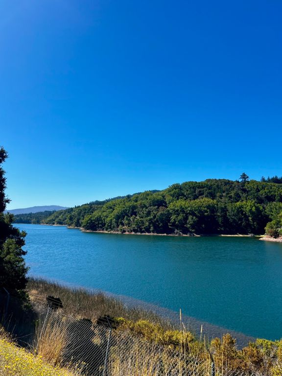
| Music Concourse Dr to Stowe Lake Dr mini TT | 0.43 英里 | 16 呎 | 0.1% |
| Bridge to Bridge | 0.68 英里 | 23 呎 | 0.2% |
| JFK Flight | 0.59 英里 | -98 呎 | -3.1% |
| Bisons sprint 35mph, can you? | 0.19 英里 | -23 呎 | -2.1% |
| Great Hwy Sprint South | 2.01 英里 | 26 呎 | 0.2% |
| Lincoln to Noriega TT | 0.76 英里 | -10 呎 | -0.0% |
| Great Highway Lincoln to Rivera | 1.13 英里 | -7 呎 | -0.1% |
| Great HWY South (Moraga to Sloat) | 1.29 英里 | -16 呎 | -0.1% |
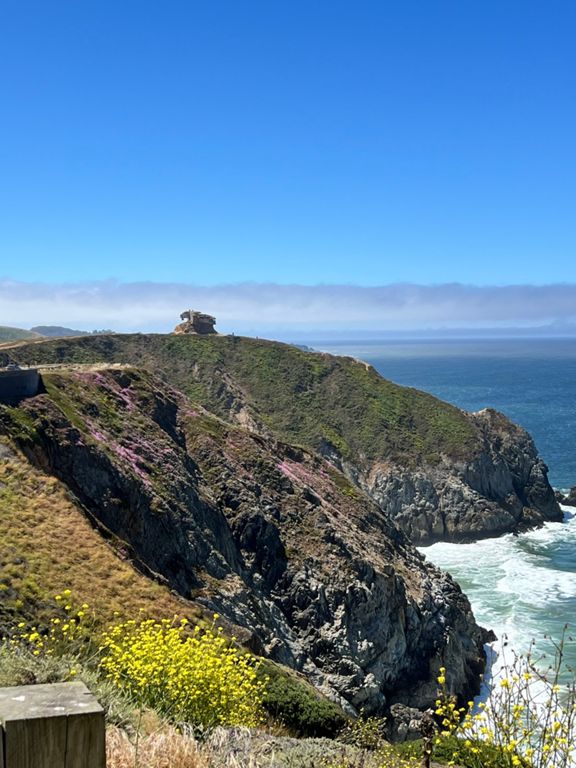
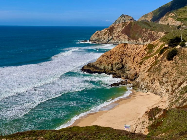
| PCH - San Pedro to Devil's Slide Trail | 0.74 英里 | 282 呎 | 7.2% |
| Tunitas Creek | 9.13 英里 | 1,929 呎 | 3.9% |
| Tunitas Creek - Hwy1 to Lobitos Creek Rd | 3.64 英里 | 394 呎 | 1.8% |
| tuni first part | 3.40 英里 | 705 呎 | 3.9% |
| Tunitas Creek - Lobitos Creek to Skyline | 5.90 英里 | 1,617 呎 | 5.4% |
| Tunitas—Lobitos Ck to Grassy Knoll | 2.72 英里 | 1,135 呎 | 7.9% |
| Tunitas Creek - Steep(s) | 1.20 英里 | 600 呎 | 9.4% |
| Tunitas (E): Grassy Knoll ⇢ Star Hill | 1.55 英里 | 338 呎 | 4.1% |
| Top Part of Tunitas | 2.74 英里 | 476 呎 | 3.4% |
| Tunitas Final Sprint | 0.19 英里 | 30 呎 | 2.9% |
| Kings Mtn Rd descent (be careful) | 4.07 英里 | -1,529 呎 | -7.1% |
| Kings Sprint Finish | 0.19 英里 | -69 呎 | -6.5% |
| Tripp to Manuella Sprint | 0.40 英里 | -20 呎 | -0.6% |
| Canada Rd climb from Woodside Rd | 2.01 英里 | 180 呎 | 1.7% |
| Cañada (NW): Woodside (84) → Olive Hill | 0.85 英里 | 56 呎 | 1.2% |
| Canada North - Roberts Market to bike path-better defined | 7.06 英里 | -249 呎 | -0.1% |
| Canada College to top | 0.80 英里 | 89 呎 | 2.0% |
| Fordham group test ride | 3.28 英里 | -246 呎 | -1.0% |
| Stop sign sprint | 0.23 英里 | 26 呎 | 2.0% |
| Canada Road - northbound. Stop-to-EdgewoodStop2 | 1.70 英里 | -118 呎 | -0.8% |
| Canada Rd - Downhill past Jefferson to Edgewood | 1.23 英里 | -112 呎 | -1.7% |
| Beat the Clock TT - Northbound Half | 5.03 英里 | -249 呎 | -0.8% |
| 1 mile from 280 overpass | 1.00 英里 | -102 呎 | -1.9% |
| Overpass to Water Temple | 2.04 英里 | -184 呎 | -1.5% |
| Filoli Sprint | 0.50 英里 | -7 呎 | -0.3% |
| Water Temple Climb sprint | 0.31 英里 | 36 呎 | 1.8% |
| Canada North - the hard part/the last 2 miles | 1.92 英里 | 59 呎 | 0.4% |
| Cañada bump | 0.37 英里 | 46 呎 | 2.3% |
| Water Temple Hill | 0.45 英里 | 39 呎 | 1.6% |
| Last Climb sprint | 0.38 英里 | 33 呎 | 1.7% |
| PV: TnT Canada Finale | 0.52 英里 | 33 呎 | 1.2% |
| 92 sprint | 0.36 英里 | -30 呎 | -1.6% |
| Skyline Turn to Bike Path Sprint | 0.48 英里 | 46 呎 | 0.8% |
| open the dam thing! it's been 8yrs, it's finished, no work going on | 0.28 英里 | -52 呎 | -2.4% |
| Great Hwy Sprint North | 1.93 英里 | 10 呎 | 0.1% |
| Great HWY North (Rivera to Irving) | 1.16 英里 | -7 呎 | -0.0% |
| Great Hwy to Transverse Dr. | 1.91 英里 | 194 呎 | 1.9% |
| Windmill to JFK | 0.34 英里 | 36 呎 | 2.0% |
| Gil’s Hill | 0.55 英里 | -23 呎 | -0.4% |
| Roses to dance floor | 0.23 英里 | 20 呎 | 1.3% |
| JFK Flatland Sprint | 0.39 英里 | 13 呎 | 0.6% |