+ 144
Road to Recovery: Weets Hill
Cycling Route
Details
20.25 mi
1,551 ft
A challenging Pennine Bridleway MTB route, returning on the canal bank.
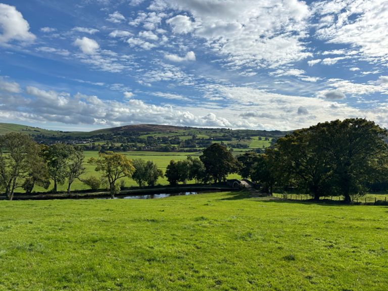
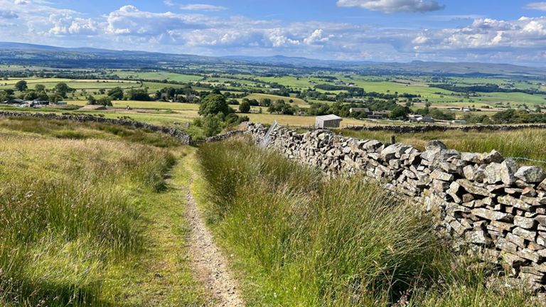
This route involves a significant climb, known locally as 'Gisburn Track' that links to Weets Hill. Expect a long climb on country roads which eventually give way to Bridleway at the top. If you need to find an excuse to stop for a rest on the way up, there is no shortage of views to be admired as you gain altitude and venture further away from the urban landscape of Colne.
The descent of Weets hill does require a mountain bike and some prior experience due to it being quite long and featuring varying types of terrain. There are no technical trail features that require advanced skills but the sense of a big adventure is definitely there!
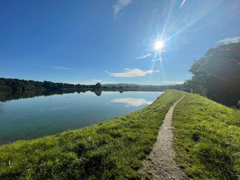
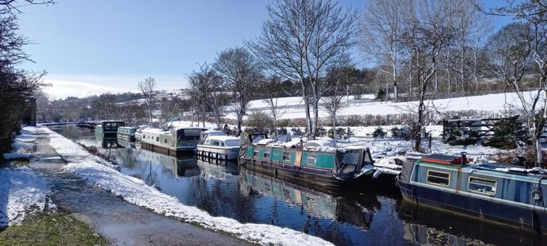
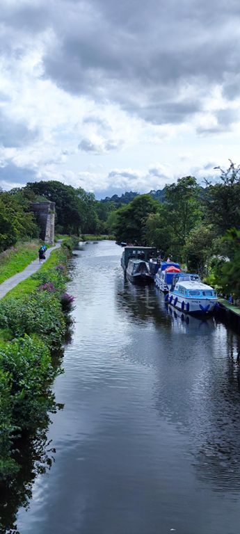
Once we reach Gisburn, there is a short section of riding on a busy main road before taking the right turn towards Kelbrook and joining the canal bank to return to Elisha House via Barnoldswick, Salterforth and Foulridge.
This route involves a significant climb, known locally as 'Gisburn Track' that links to Weets Hill. Expect a long climb on country roads which eventually give way to Bridleway at the top. If you need to find an excuse to stop for a rest on the way up, there is no shortage of views to be admired as you gain altitude and venture further away from the urban landscape of Colne.
The descent of Weets hill does require a mountain bike and some prior experience due to it being quite long and featuring varying types of terrain. There are no technical trail features that require advanced skills but the sense of a big adventure is definitely there!
Once we reach Gisburn, there is a short section of riding on a busy main road before taking the right turn towards Kelbrook and joining the canal bank to return to Elisha House via Barnoldswick, Salterforth and Foulridge.