CP4R - Barrow Hills - Short reverse
Running Route
Easy
5.29 km
15 m
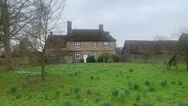
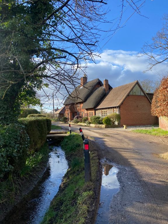
Exit at the back of the Barrow Hills car park, run diagonally right across the football pitch and into the small wood. Follow the footpath until you come out in the open field. Cross the field to the opposite right corner. Follow the path round to the right and out onto Thrupp Lane. Turn left and continue along Thrupp Lane until you reach the junction. Turn right into Foxborough Road. Continue until you pass the Bowyer Arms and then the railway station (on your right). At the next junction, turn right and run up and over the railway. Continue until you reach the grass triangle. Turn right and follow the lane as it curves round to the left, and you come to the second grass triangle. Turn left and continue until you get back to the first grass triangle. Take the right exit and follow the lane until you go up over the railway and come out on Foxborough Road. Turn left. At the junction with Thrupp Lane, cross over and get onto the footpath inside Thrupp Lane (on the right). Follow that footpath through the trees back to the car park.
Route and Elevation
Segments
| Name | Distance | Elev. Diff. | Avg. Grade |
|---|---|---|---|
| Radley Rd to Lower Radley | 1.35 km | -9 m | -0.4% |
| Foxborough east | 0.43 km | 1 m | 0.0% |
| Lower Radley (anti-clockwise) | 1.02 km | -4 m | 0.0% |
| Lower Radley to Radley Rd | 1.33 km | 9 m | 0.4% |
| Foxborough west | 0.43 km | -1 m | -0.0% |
| Radley road cycle track west | 0.36 km | 3 m | 0.9% |