


+ 33
TP1 Long - To Chilswell Farm and Oxford Green Belt Way - Long
Running Route
Easy
10.72 km
182 m
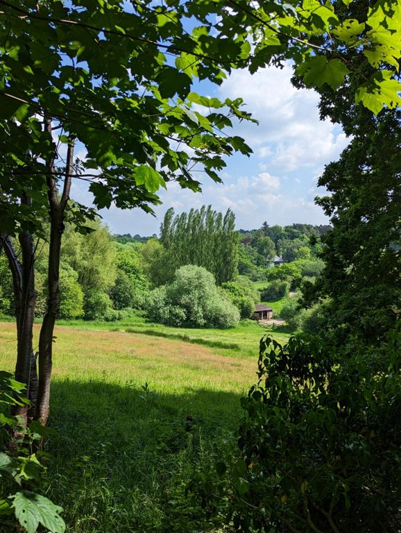
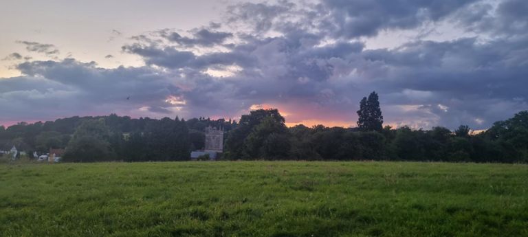
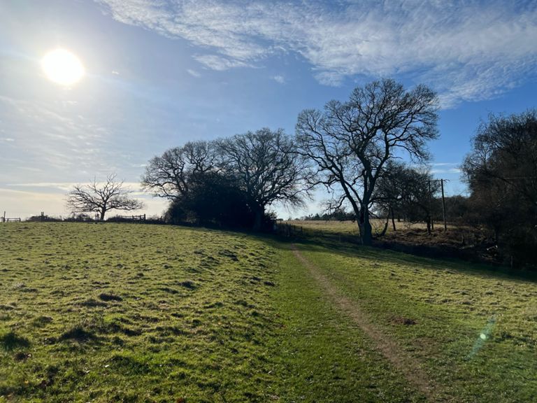
Take the footpath on the left, just inside the Tilsley Park entrance. Follow the path through the trees. Turn left at the end and follow the footpath towards the trees and up the hill. Stay on the footpath as it continues up and over the A34. At the bottom of the hill on the other side, go straight ahead and into the field. Run along the right edge of the field to the other side. At the gate, cross the road and go into Green Lane. At the end of Green Lane, turn right and then left onto Bayworth Hill. Continue up the hill until you reach the caravan park (on your left). Turn right through the gate into the field. Run up the field following the hedge line on your left. At the top of the field, go through the gate and turn left. Follow the path up the hill through the tree tunnel. At the top, go through the gate and out onto Foxcombe Road. Turn right and cross the road. Take the second left onto the farm track. Stay on the track for almost a mile (1.6km). Just before the farm (there is a pond on the right of the track), take the trail signposted 'Oxford Green Belt Way'. The footpath goes up right through the middle of the field towards the trees at the top. There might be cows in the field. The trail is about 1 mile (1.6km), with trees and hedges on either side. Stay on it until you pop out on The Ridgeway. Turn left and cross the road. After a few metres, turn right into the wooded area. Take the righthand footpath. Exit through the gate onto Jarn Way. Turn slightly left and go down the lane opposite (Old Boar's Hill Road). Take the second left into Orchard Lane (about 160m down the hill). Follow the footpath until it intersects another footpath. Turn left and continue until you come out on Fox Lane. Turn left and look footpath entrance on the other side of the road on your right. Follow the footpath and go out onto Lincombe Lane. Continue along Lincombe Lane, go through the gates and down the hill between the deer fields. When you get to the road, turn right and look for the footpath entrance on the other side of the road on the right. Follow the footpath through the field and then through the next field. Climb the steps at the end of the footpath and turn right onto the hill just before the bridge. Follow the track back to the entrance of the footpath through the trees. Turn right and run back to the Tilsley park entrance.
Route and Elevation
Segments
| Name | Distance | Elev. Diff. | Avg. Grade |
|---|---|---|---|
| A34 to Green Lane | 0.81 km | 21 m | 1.6% |
| Woodcraft Wood climb to Foxcombe Rd | 0.60 km | 24 m | 4.0% |
| Chilswell lane to farm | 1.05 km | -29 m | -1.8% |
| Cow Hill Track | 0.43 km | 32 m | 7.3% |
| Fiona's Hill | 0.40 km | 26 m | 6.4% |
| Ups and Downs | 0.66 km | 11 m | 1.0% |
| Fox Hill | 0.84 km | -32 m | -2.7% |
| Sunningwell Down Hill | 0.23 km | -21 m | -8.8% |