| Climb to Home | 0.40 mi | 98 ft | 4.6% |
| 179th Whipple Creek Biggie | 0.23 mi | 56 ft | 4.7% |
| 29th South to 502 | 1.85 mi | 43 ft | 0.1% |
| 199th to 219th | 0.98 mi | 43 ft | 0.6% |
| 239St East to 50Ave Warning Sign | 0.73 mi | -75 ft | -1.8% |
| bg or bust | 0.53 mi | -16 ft | -0.1% |
| Heisson Climb | 0.93 mi | 69 ft | 0.7% |
| Full Kelly Hill | 2.94 mi | 758 ft | 4.8% |
| Base of Kelly to Top of Garner | 4.68 mi | 732 ft | 2.6% |
| Kelly Hill | 2.14 mi | 623 ft | 5.5% |
| Kelly Hill: bottom to second turn-sign | 2.62 mi | 735 ft | 5.3% |
| Kelly Rd Climb | 2.68 mi | 745 ft | 5.2% |
| Base of Kelly to Top Of Garner II (same as orig, except for Strava-GPS variations) | 4.84 mi | 709 ft | 2.6% |
| WH Garner Rd climb | 1.13 mi | 223 ft | 3.8% |
| Max speeed clok'r | 0.24 mi | -95 ft | -7.0% |
| Sprint to yacolt | 0.60 mi | -131 ft | -4.0% |
| Yacolt straighaway | 1.46 mi | -69 ft | -0.9% |
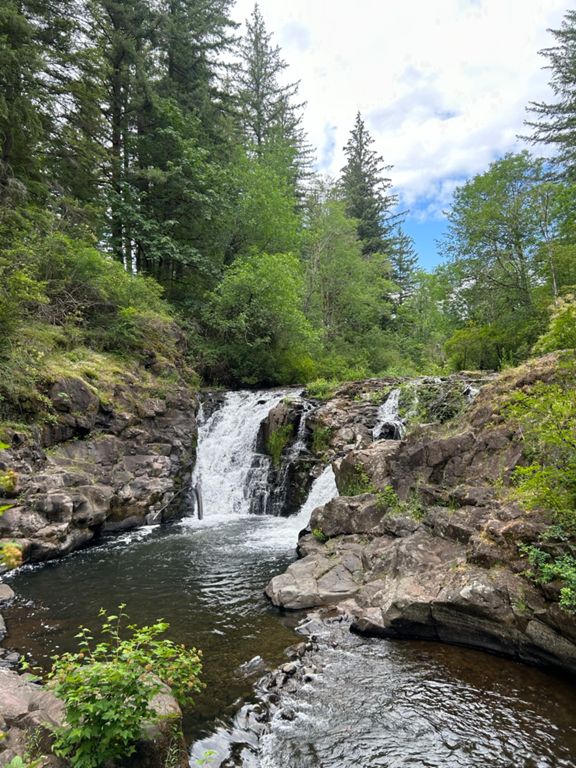
| Sunset Falls Climb | 3.73 mi | 335 ft | 0.8% |
| Climb to NE Deer Rd | 1.14 mi | 315 ft | 5.2% |
| Heading in to the Sunset | 7.27 mi | 404 ft | 1.1% |
| Falling into the sunset | 5.31 mi | -344 ft | -1.2% |
| Ne Sunset Falls Rd Climb | 1.00 mi | 272 ft | 5.1% |
| Garner Rd climb from Yacolt | 1.89 mi | 591 ft | 4.7% |
| Full Garner Climb | 2.41 mi | 377 ft | 3.0% |
| Yacolt Yeller | 3.91 mi | -682 ft | -2.2% |
| Northeast Yacolt Mountain Road Climb | 0.94 mi | 266 ft | 5.3% |
| Going Down Kelly | 2.19 mi | -633 ft | -5.5% |
| Back to the Lake | 1.76 mi | 79 ft | 0.6% |
| Heisson Store | 0.21 mi | 36 ft | 3.2% |
| Stables to Stop | 1.17 mi | 89 ft | 0.8% |
| Big Chainring Hill | 0.28 mi | 112 ft | 7.1% |
| Down from 167th Ave to Battleground | 1.15 mi | -135 ft | -2.2% |
| Mini Onsdorff Blaze reverse | 0.50 mi | -16 ft | -0.7% |
| 92ave N/S | 0.86 mi | -33 ft | -0.5% |
| e2e | 1.49 mi | -102 ft | -1.0% |
| WSU Decsent (50th) | 0.30 mi | -66 ft | -3.5% |