

+ 88
Marin Headlands - "No Slack Friday" Slacker Hill Loop Group Run
Running Route
Moderate
3.4 mi
816 ft
Meetup every Friday 6:30am
Run begins promptly at 6:35am.
Hosted by Toby Silver. All welcome!
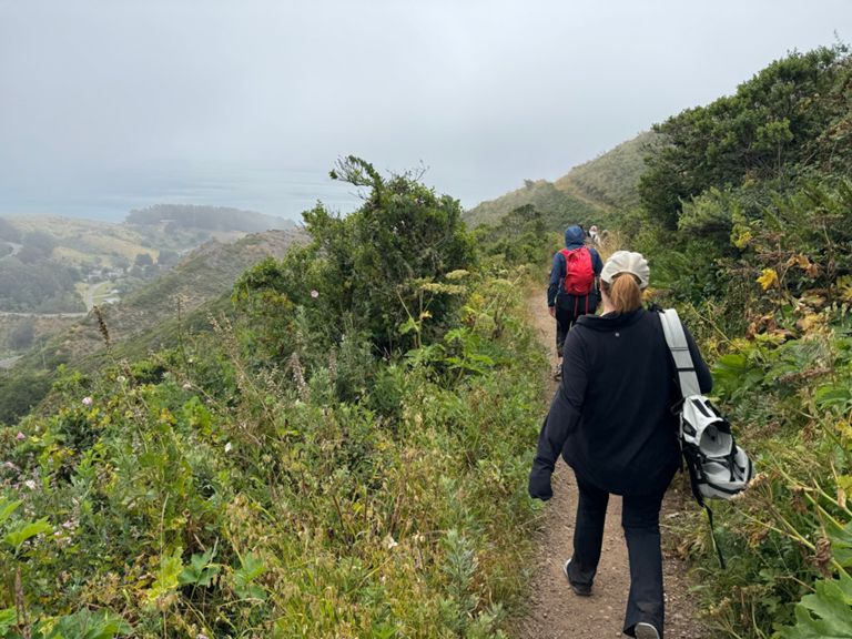
This is a counter clockwise loop with an added climb to the top of Slacker Hill.
Directions:
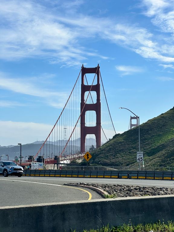
Start and finish at Coastal Trail trailhead at Conzelman Parking Lot on the northwest side of the Golden Gate Bridge. This is the lot below just below Conzelman road and adjacent to the bridge and bridge bike path.
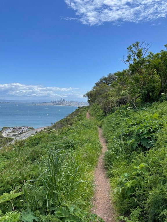
-At dirt trailhead next to parking lot, head up Coastal Trail
-Cross Conzelman Rd, continue straight onto Coastal Trail (1 mile climb)
-At T-Intersection, left onto Slacker Trail
-Continue 1/3 mile, then left onto Slacker Ridge Trail
-Climb to top, enjoy the views, then turn around and descend back to Slacker Ridge Trail and turn left
-Cross McCullough Rd, continue onto Julian Trail to parking lot
-Turn left in the parking lot and head toward the roundabout on Conzelman Rd
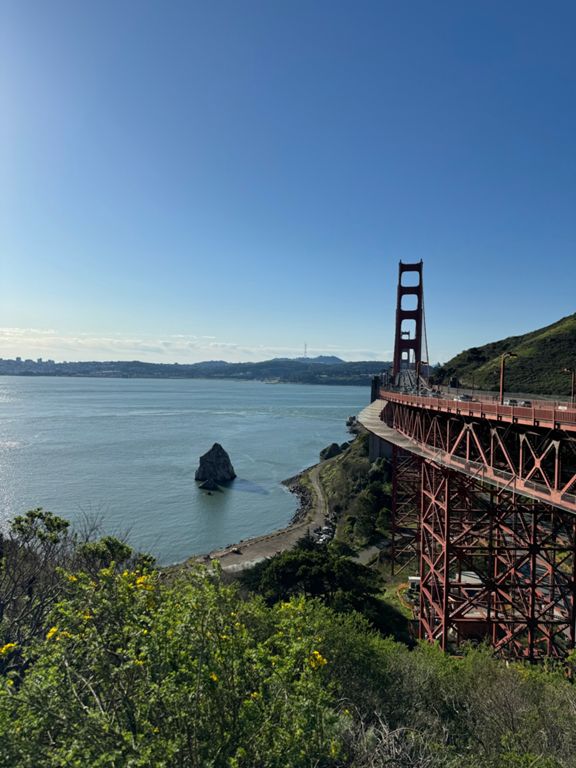
-At the roundabout cross Conzelman, turn left, and descend dirt trail that runs to the right of the road, all the way back to Coastal Trail. Enjoy the Golden Gate Bridge and bay views
-Right turn on Coastal Trail to return to the parking lot
-Done!
Run begins promptly at 6:35am.
Hosted by Toby Silver. All welcome!
This is a counter clockwise loop with an added climb to the top of Slacker Hill.
Directions:
Start and finish at Coastal Trail trailhead at Conzelman Parking Lot on the northwest side of the Golden Gate Bridge. This is the lot below just below Conzelman road and adjacent to the bridge and bridge bike path.
-At dirt trailhead next to parking lot, head up Coastal Trail
-Cross Conzelman Rd, continue straight onto Coastal Trail (1 mile climb)
-At T-Intersection, left onto Slacker Trail
-Continue 1/3 mile, then left onto Slacker Ridge Trail
-Climb to top, enjoy the views, then turn around and descend back to Slacker Ridge Trail and turn left
-Cross McCullough Rd, continue onto Julian Trail to parking lot
-Turn left in the parking lot and head toward the roundabout on Conzelman Rd
-At the roundabout cross Conzelman, turn left, and descend dirt trail that runs to the right of the road, all the way back to Coastal Trail. Enjoy the Golden Gate Bridge and bay views
-Right turn on Coastal Trail to return to the parking lot
-Done!
Route and Elevation
Segments
| Name | Distance | Elev. Diff. | Avg. Grade |
|---|---|---|---|
| Coastal Trail (GGB to Slacker Ridge) | 1.27 mi | 561 ft | 8.3% |
| GGB parking lot to top of slackers hill | 1.61 mi | 676 ft | 7.9% |
| Coastal Trail (GGB to SCA) | 1.09 mi | 433 ft | 7.4% |
| GGB to Coastal Trail Peak | 1.42 mi | 564 ft | 7.5% |
| Bridge to SCA Climb | 0.79 mi | 381 ft | 8.4% |
| Coastal Trail Parking Lot to Conzelman Rd. | 0.16 mi | 92 ft | 10.6% |
| Coastal to SCA | 0.87 mi | 338 ft | 7.0% |
| Coastal Trail (SCA to Slacker Hill) | 0.52 mi | 240 ft | 8.7% |
| SCA-Coastal Last (Last) Climb | 0.17 mi | 135 ft | 14.3% |
| From Coastal to Slacker | 0.51 mi | 246 ft | 8.9% |
| T-split left to top | 0.23 mi | 69 ft | 4.8% |
| Slacker Trail Climb | 0.21 mi | 167 ft | 14.8% |
| Conzelman Rd Climb | 0.23 mi | 174 ft | 13.5% |
| Slacker to Coastal Descent | 0.22 mi | -180 ft | -15.2% |
| Slacker Hill Descent | 0.19 mi | -161 ft | -15.7% |
| Hawk Hill - Descent (circle to crosswalk) | 1.02 mi | -249 ft | -4.6% |
| Conzelman Road Descent from the Circle | 1.03 mi | -233 ft | -4.3% |
| SCA Final Descent | 0.17 mi | -85 ft | -9.1% |
| SCA Final Descent (not hazardous) | 0.18 mi | -98 ft | -10.0% |