
+ 108
Road to Recovery: Lister Well Road via Foulridge canal bank
Cycling Route
Details
10.78 mi
1,006 ft
An almost figure of 8 loop, making use of trails alongside the Leeds Liverpool Canal either side of the Mile Tunnel.
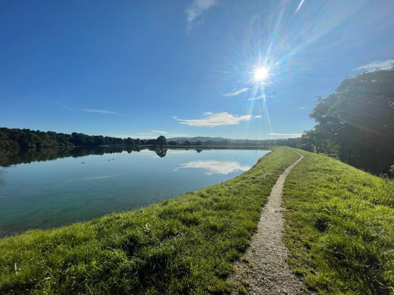
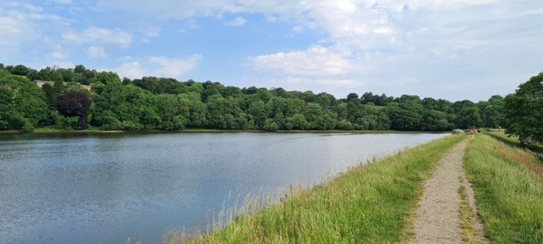
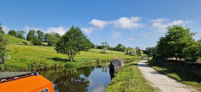
This route starts off through Alkincoates park and takes the canal from Foulridge to Salterforth before riding Lister Well road (part of the Pennine Bridleway) and returning via Barrowford locks.
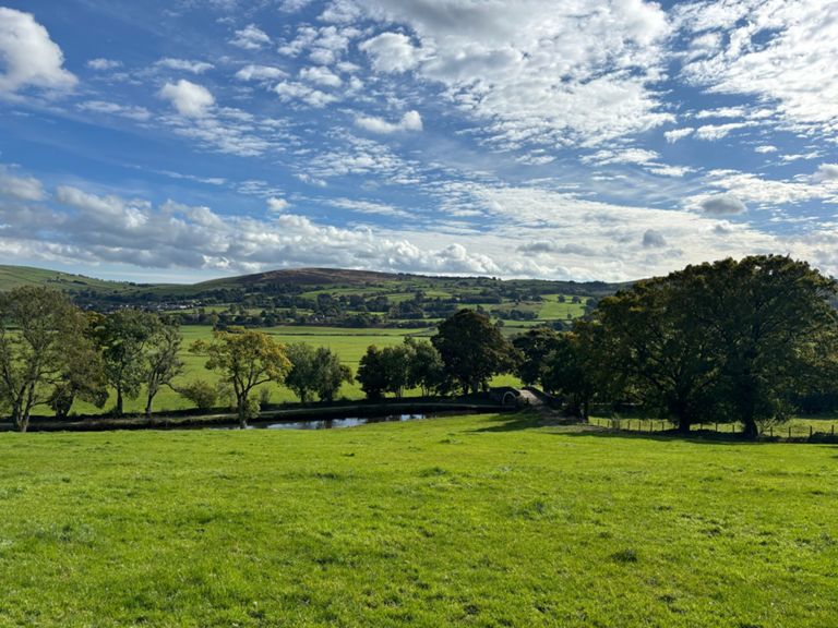
The easy parts are easy and simple to navigate, but expect some more challenging and hilly terrain around the middle of this ride.
You will need a mountain bike for this ride
This route starts off through Alkincoates park and takes the canal from Foulridge to Salterforth before riding Lister Well road (part of the Pennine Bridleway) and returning via Barrowford locks.
The easy parts are easy and simple to navigate, but expect some more challenging and hilly terrain around the middle of this ride.
You will need a mountain bike for this ride
Route and Elevation
Segments
| Name | Distance | Elev. Diff. | Avg. Grade |
|---|---|---|---|
| Primet Hill | 0.21 mi | 56 ft | 4.7% |
| Old farts lung buster | 0.14 mi | 46 ft | 5.6% |
| Smithy Ford | 0.40 mi | -138 ft | -6.3% |
| Smithy Ln Full | 0.78 mi | -138 ft | -2.6% |
| The Foulridge Sprint | 0.25 mi | 10 ft | 0.8% |
| foulridge to anchor | 2.15 mi | -75 ft | -0.5% |
| bistro to anchor | 1.91 mi | 33 ft | 0.0% |
| Foulridge to Anchor Inn | 1.75 mi | -56 ft | -0.4% |
| away'ha the boat'ats pet | 0.29 mi | -3 ft | -0.1% |
| Gate 2 Gate up | 0.30 mi | 105 ft | 6.7% |
| Occupation Rd from Man Rd to gate | 1.41 mi | 338 ft | 3.7% |
| Concrete section Lister Well Road | 0.45 mi | 233 ft | 9.8% |
| Lister Well Rd Climb | 0.98 mi | 315 ft | 6.0% |
| sektor one | 0.29 mi | 82 ft | 5.1% |
| sektor two | 0.37 mi | 26 ft | 1.0% |
| sektor three | 0.21 mi | -39 ft | -3.4% |
| Lister Well Gate 2 Gate Sprint | 0.19 mi | -26 ft | -1.9% |
| road runner beep beep | 0.59 mi | -266 ft | -8.5% |
| The Last Bit | 0.37 mi | -164 ft | -8.4% |
| Down Slipper Hill | 0.37 mi | -194 ft | -9.8% |
| Tunnel to Colne Rd | 1.35 mi | -79 ft | -1.0% |
| red lane t resend | 0.73 mi | -23 ft | -0.6% |
| greenfield road | 0.36 mi | -16 ft | -0.2% |
| Greenfield to Whitewalls | 0.35 mi | -13 ft | -0.4% |