

+ 116
The Big Sipper - The Guzzler Ultra 21km - 2025 - Brisbane
Running Route
Hard
21.97 km
745 m
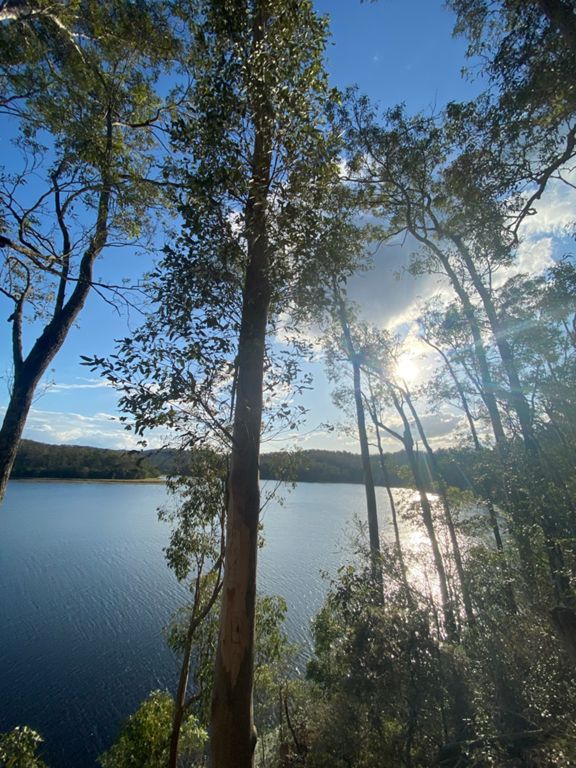
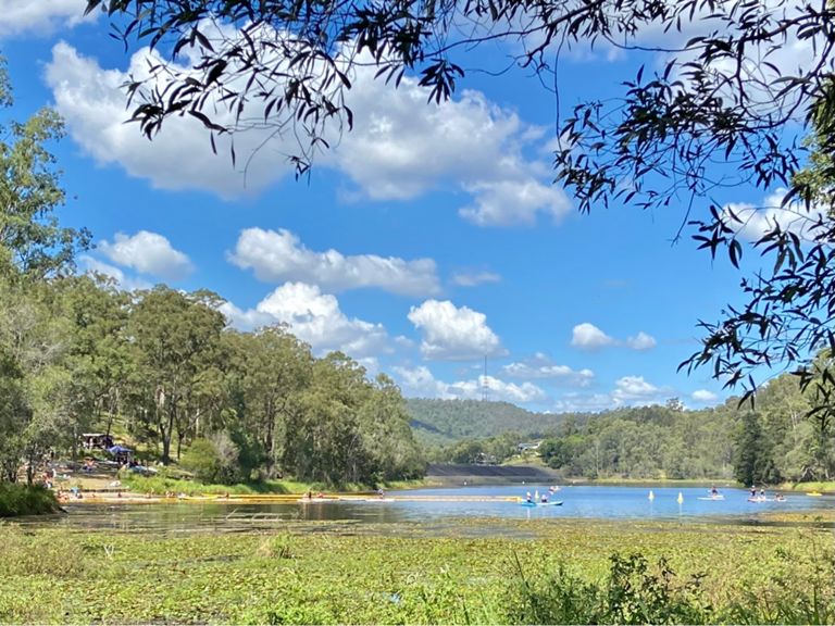
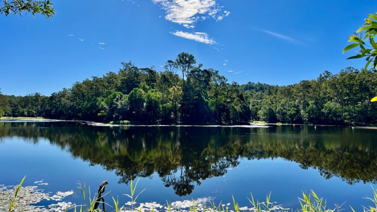
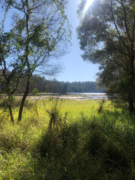
The Big Sipper is a great way to dip your toe (or half your leg) into The Guzzler course. Runners will bussed to the start line, ready to run yourselves home, via Enoggera Reservoir. After a run past this beautiful body of water, you’ll turn your feet towards Mt Coot-tha where our finish line party awaits.
Starting on Sunday morning, our Big Sippers will also get to run the second part of the course with some of our final 100km so give them a huge cheer and massive kudos as you do. And for the slightly mad among you, a Sunday start time means there’s the very real possibility of tackling both the 50km and 21km on the same weekend (just sayin’…)!
The Big Sipper: it will be fun but it ain’t no fun run!
Please note: this is not GPS data and can not be considered 100% accurate. This Strava representation of the course will guide you around the trails but following this exact track on race day will mean you will not enter checkpoints and that you might cut corners. Please take this into consideration whilst planning your training runs.
Want to share and compare your training? Join The Guzzler Ultra's Strava group www.strava.com/clubs/theguzzlerultra
Log in to download this route.