


+ 11
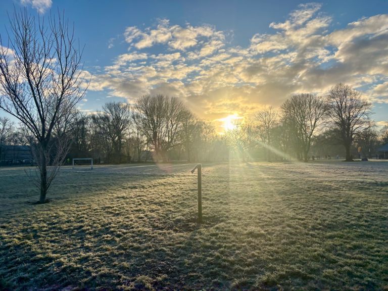
KUHAC middle route #8 (6.9 miles)
Running Route
Easy
6.93 mi
30 ft
Route and Elevation
Segments
| Name | Distance | Elev. Diff. | Avg. Grade |
|---|---|---|---|
| Springhead Pump-it | 0.52 mi | -13 ft | -0.3% |
| Corner to corner | 1.03 mi | -7 ft | -0.0% |
| Wymersley - again | 0.53 mi | 3 ft | 0.0% |
| Hotham Link | 0.32 mi | -3 ft | -0.1% |
| rispins to priory pub lights | 0.36 mi | 7 ft | 0.1% |
| flyover climb and down to park gate | 0.35 mi | -3 ft | -0.1% |
| Bottom of County Road Flyover to Langdale Ave | 0.61 mi | -23 ft | -0.0% |
| Bottom of County Road Flyover to National Ave | 0.69 mi | -23 ft | 0.0% |
| County Rd Flyover NE | 0.17 mi | 20 ft | 2.3% |
| Hills n Hulls | 0.47 mi | 26 ft | 0.0% |
| sorrel to railway | 0.15 mi | 7 ft | 0.8% |
| The Nash Dash - South | 0.57 mi | 7 ft | 0.2% |
| Over the Tracks - South | 0.13 mi | 16 ft | 1.4% |
| To the park! | 0.35 mi | -3 ft | -0.1% |