


+ 12
KUHAC middle route #8 (6.9 miles)
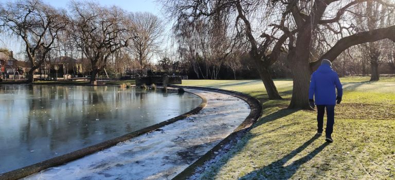
跑步路线
比较轻松
6.93英里
30英尺
路线和海拔
路段
| 名字 | 距离 | 海拔高度差 | 平均坡度 |
|---|---|---|---|
| Springhead Pump-it | 0.52英里 | -13英尺 | -0.3% |
| Corner to corner | 1.03英里 | -7英尺 | -0.0% |
| Wymersley - again | 0.53英里 | 3英尺 | 0.0% |
| Hotham Link | 0.32英里 | -3英尺 | -0.1% |
| rispins to priory pub lights | 0.36英里 | 7英尺 | 0.1% |
| flyover climb and down to park gate | 0.35英里 | -3英尺 | -0.1% |
| Bottom of County Road Flyover to Langdale Ave | 0.61英里 | -23英尺 | -0.0% |
| Bottom of County Road Flyover to National Ave | 0.69英里 | -23英尺 | 0.0% |
| County Rd Flyover NE | 0.17英里 | 20英尺 | 2.3% |
| Hills n Hulls | 0.47英里 | 26英尺 | 0.0% |
| sorrel to railway | 0.15英里 | 7英尺 | 0.8% |
| The Nash Dash - South | 0.57英里 | 7英尺 | 0.2% |
| Over the Tracks - South | 0.13英里 | 16英尺 | 1.4% |
| To the park! | 0.35英里 | -3英尺 | -0.1% |