| Ridiculous cycle path west | 0.21 英里 | 3 呎 | 0.2% |
| Butterfly Hill | 0.19 英里 | 30 呎 | 2.9% |
| Bewholme Lane North | 0.81 英里 | 36 呎 | 0.8% |
| Full Bewholme north | 1.13 英里 | 46 呎 | 0.4% |
| I like to moove it moove it | 5.42 英里 | 49 呎 | 0.0% |
| Bust up Bewholme! | 1.80 英里 | 30 呎 | 0.1% |
| Redrum | 3.04 英里 | -49 呎 | -0.2% |
| Gardham Lane Sprint (North) | 1.33 英里 | -26 呎 | -0.3% |
| Skipsea to Lissett drag | 2.31 英里 | -23 呎 | -0.0% |
| Allison lane to Kelk Lane | 1.97 英里 | 23 呎 | 0.1% |
| Lissett to Gransmoor | 1.55 英里 | -23 呎 | -0.0% |
| Kelk Lane - Gransmoor Lane | 1.45 英里 | 20 呎 | 0.2% |
| harphan slog | 0.89 英里 | 75 呎 | 1.5% |
| Back yourself down Back Lane | 0.51 英里 | 10 呎 | 0.1% |
| York Road | 1.43 英里 | 226 呎 | 3.0% |
| full York rd kilham | 2.32 英里 | 200 呎 | 1.6% |
| Cottam Aerodrome from B1249 | 0.55 英里 | 125 呎 | 4.3% |
| up to Cottom | 2.72 英里 | 171 呎 | 1.1% |
| Up to Cowlam | 1.22 英里 | 49 呎 | 0.7% |
| Cowlam Kicker | 0.44 英里 | 49 呎 | 2.0% |
| ain't half hot mum | 1.49 英里 | -118 呎 | -1.3% |
| Climb to Cowlam | 1.81 英里 | 200 呎 | 1.7% |
| Sledmere to Cowlam | 1.28 英里 | 207 呎 | 3.0% |
| Cowlam Bottom Down | 4.11 英里 | -436 呎 | -2.0% |
| Cowlam to pumping station | 4.05 英里 | -472 呎 | -2.2% |
| Cowlam to Driffield | 6.39 英里 | -479 呎 | -1.4% |
| Cowlam short | 2.33 英里 | -371 呎 | -3.0% |
| Cowlam Bottom Plummet | 0.52 英里 | -197 呎 | -7.1% |
| Cowlam Base Camp | 1.84 英里 | -59 呎 | -0.6% |
| Col de Spellowgate | 0.35 英里 | 85 呎 | 4.6% |
| Col de Spellowgate (steep bit) | 0.21 英里 | 75 呎 | 6.8% |
| Spellowgate schuste | 1.67 英里 | -115 呎 | -1.2% |
| home straight | 0.53 英里 | -46 呎 | -1.6% |
| walbys woe | 0.36 英里 | -26 呎 | -1.4% |
| Sky - Driffield To Skerne | 1.78 英里 | -23 呎 | -0.2% |
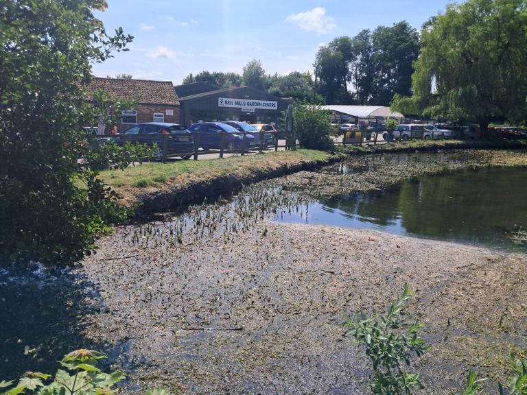
| Bell mills bump | 0.14 英里 | 10 呎 | 1.1% |
| Skerne to Wansford | 1.38 英里 | -20 呎 | -0.2% |
| skerne stretch | 0.94 英里 | -13 呎 | -0.2% |
| Beeford 10m TT Part 1 | 1.61 英里 | -10 呎 | -0.1% |
| The Three Crosses | 2.66 英里 | 36 呎 | 0.2% |
| I'm sure this is a segment | 0.52 英里 | 16 呎 | 0.4% |
| New Road Sprint | 1.22 英里 | -20 呎 | -0.2% |
| Catfoss ⇨ Bewholme | 1.72 英里 | 43 呎 | 0.4% |
| Carfoss Lunge | 0.14 英里 | 13 呎 | 1.6% |
| Bewholme ⇨ Seaton Road | 2.39 英里 | -46 呎 | -0.4% |
| Bewholme Lane South | 1.09 英里 | 23 呎 | 0.2% |
| Bewholme Lane ⇨ Back Westgate | 0.48 英里 | -13 呎 | -0.0% |
| Town To Pottery | 0.91 英里 | 36 呎 | 0.5% |
| hornsea southgate dash | 0.29 英里 | -7 呎 | -0.0% |
| Potters Climb | 0.39 英里 | 23 呎 | 0.9% |