
+ 9
The Hoot 5: Centennial
Running Route
Easy
4.83 mi
542 ft
Subject to change:
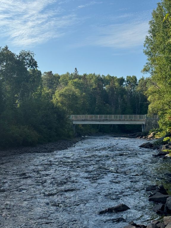
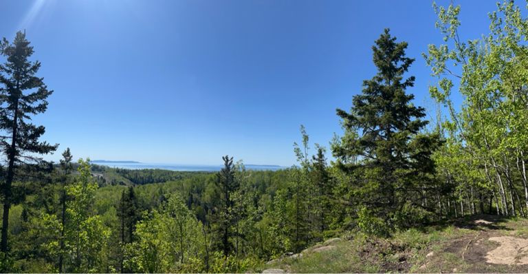
The course starts at Centennial Park at the small bridge next to the coin box. Follow the path straight ahead and run towards the highway overpass.
At the highway overpass, you'll take a left and run uphill to savour Hydro Hill :)
Follow this to the top and continue running straight
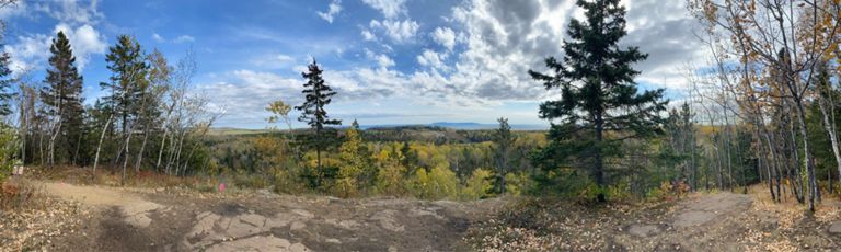
until you reach the clearing (where the bench is located). Stay left to get on the blue trail and stay on this trail by following the signs and trail markers.
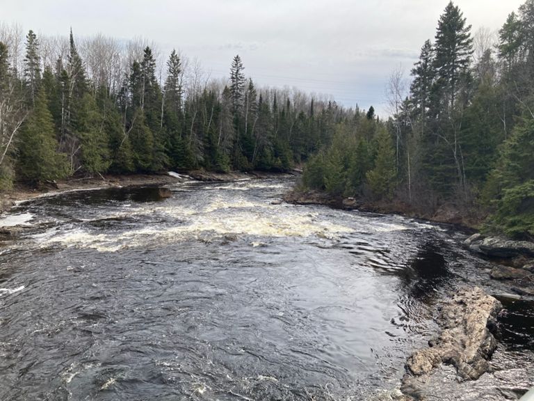
The trail will take you to the main Yellow trail that runs along side the river. Follow this for a short distance until you see the signs to turn right on Mother Hill. Cursing the Race Director doesn't help you climb faster. Embrace the suck. You got this!
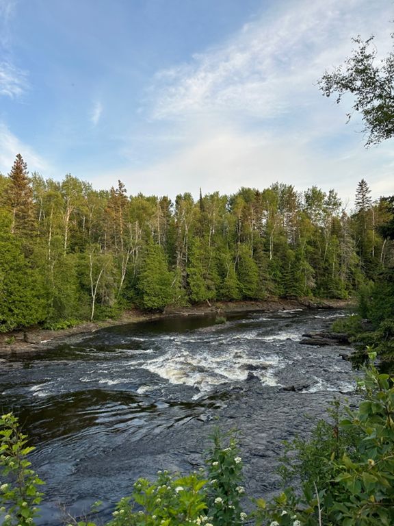
Once you're at the top, you'll just stay on Blue Trail and follow it all the way to the clearing. (You'll see the bench on your immediate right as you approach the clearing). From here, you just need to run back to the start by following the trail markers ahead of you. You'll run down Hydro Hill again, and stay on the Yellow Trail with the River on your left as you head back to the Start/Finish line.
The course starts at Centennial Park at the small bridge next to the coin box. Follow the path straight ahead and run towards the highway overpass.
At the highway overpass, you'll take a left and run uphill to savour Hydro Hill :)
Follow this to the top and continue running straight
until you reach the clearing (where the bench is located). Stay left to get on the blue trail and stay on this trail by following the signs and trail markers.
The trail will take you to the main Yellow trail that runs along side the river. Follow this for a short distance until you see the signs to turn right on Mother Hill. Cursing the Race Director doesn't help you climb faster. Embrace the suck. You got this!
Once you're at the top, you'll just stay on Blue Trail and follow it all the way to the clearing. (You'll see the bench on your immediate right as you approach the clearing). From here, you just need to run back to the start by following the trail markers ahead of you. You'll run down Hydro Hill again, and stay on the Yellow Trail with the River on your left as you head back to the Start/Finish line.
Route and Elevation
Segments
| Name | Distance | Elev. Diff. | Avg. Grade |
|---|---|---|---|
| Last cabin to under the highway | 0.32 mi | 20 ft | 1.1% |
| Hydro Hill | 0.34 mi | 98 ft | 5.5% |
| Hydro Hill(fixed) | 0.23 mi | 115 ft | 9.2% |
| Centennial Mother Hill | 0.24 mi | 184 ft | 14.3% |
| Centennial Blue part 2 - CW | 1.60 mi | 197 ft | 0.9% |
| Full Mother Hill | 0.21 mi | 167 ft | 14.9% |
| Down Hydro Hill | 0.17 mi | -95 ft | -10.4% |