+ 43
15k Course Map
Running Route
Moderate
9.93 mi
303 ft
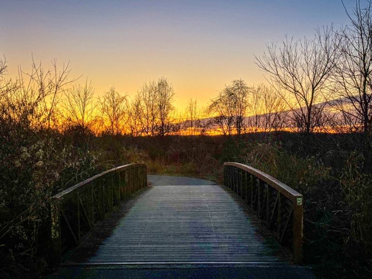
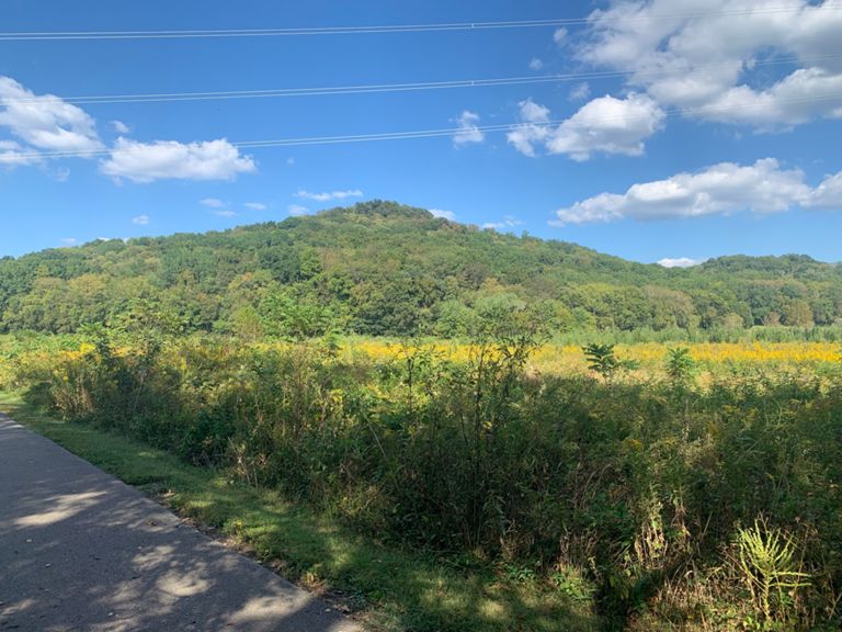
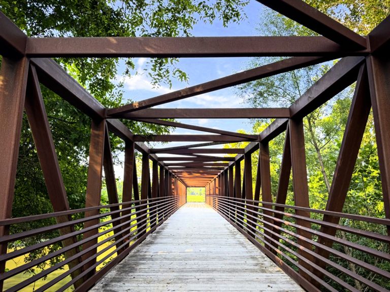
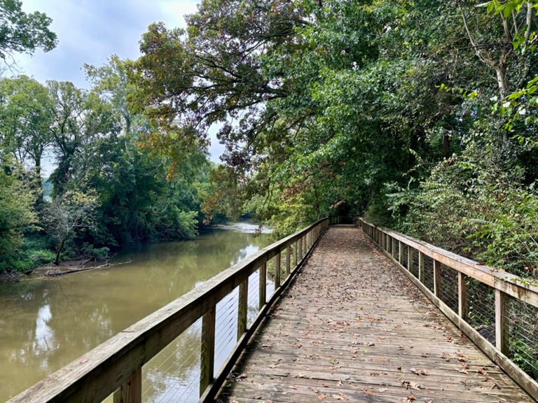
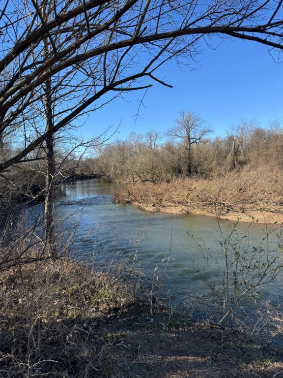
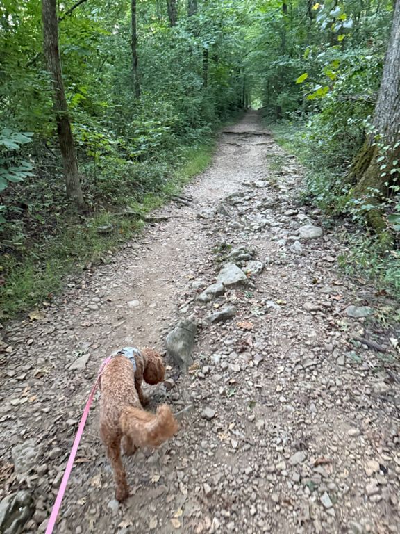
Consist of one loop around the mountain and back onto the paved course onto the greenway. Course is primarily flat with a few hills. The entire course is paved, if you are on any dirt roads you are off-course and on trails. There is one turn-around point right after the 6 mile marker.
Created By
Coach Hayden Valle

Route and Elevation
Segments
| Name | Distance | Elev. Diff. | Avg. Grade |
|---|---|---|---|
| T to 100 | 0.56 mi | 39 ft | 0.8% |
| EWP - T to Hwy 100 Lot | 1.02 mi | 39 ft | 0.7% |
| Ensworth to Edwin Lot | 0.55 mi | -20 ft | -0.0% |
| Harpeth River Greenway - T to Footpath Tr. Trailhead | 1.85 mi | -10 ft | -0.1% |
| Ensworth ---> HWY 100 | 0.83 mi | -7 ft | -0.1% |
| harpeth greenway | 1.36 mi | -20 ft | -0.0% |
| B section | 1.00 mi | -13 ft | -0.1% |
| Harpeth Bend N | 1.09 mi | -3 ft | 0.0% |
| C section | 1.00 mi | -7 ft | -0.0% |
| Let 'er rip! | 0.99 mi | 7 ft | 0.0% |
| Harpeth River Greenway - Footpath Tr. Trailhead to T | 1.82 mi | 10 ft | 0.1% |
| Final mile GW eastbound | 1.00 mi | 33 ft | 0.2% |