+ 48
15k Course Map
跑步路線
適中
9.93 英里
303 呎
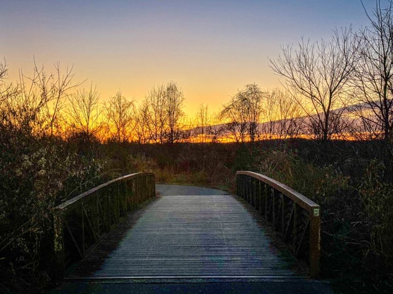
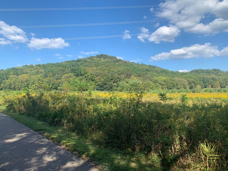
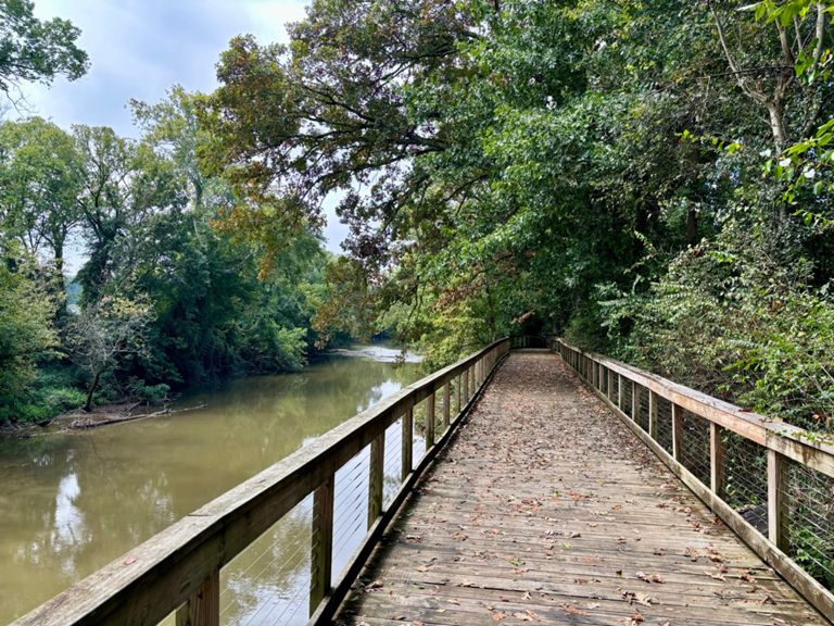
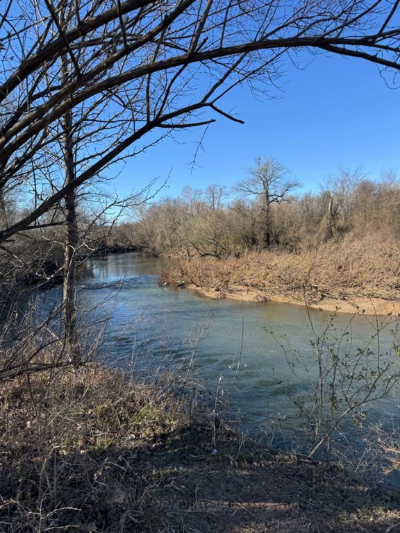
Consist of one loop around the mountain and back onto the paved course onto the greenway. Course is primarily flat with a few hills. The entire course is paved, if you are on any dirt roads you are off-course and on trails. There is one turn-around point right after the 6 mile marker.
建立者:
Coach Hayden Valle

路線和海拔
路段
| 名稱 | 距離 | 海拔差異 | 平均坡度 |
|---|---|---|---|
| T to 100 | 0.56 英里 | 39 呎 | 0.8% |
| EWP - T to Hwy 100 Lot | 1.02 英里 | 39 呎 | 0.7% |
| Ensworth to Edwin Lot | 0.55 英里 | -20 呎 | -0.0% |
| Harpeth River Greenway - T to Footpath Tr. Trailhead | 1.85 英里 | -10 呎 | -0.1% |
| Ensworth ---> HWY 100 | 0.83 英里 | -7 呎 | -0.1% |
| harpeth greenway | 1.36 英里 | -20 呎 | -0.0% |
| B section | 1.00 英里 | -13 呎 | -0.1% |
| Harpeth Bend N | 1.09 英里 | -3 呎 | 0.0% |
| C section | 1.00 英里 | -7 呎 | -0.0% |
| Let 'er rip! | 0.99 英里 | 7 呎 | 0.0% |
| Harpeth River Greenway - Footpath Tr. Trailhead to T | 1.82 英里 | 10 呎 | 0.1% |
| Final mile GW eastbound | 1.00 英里 | 33 呎 | 0.2% |