Activities
Top Sports
Running
Cycling
Walking
Hiking
Running
Cycling
Features
Maps
Challenges
Subscription
Log In
Join for Free
Sign Up
Home
Activities
Running
Cycling
Walking
Hiking
Features
Maps
Challenges
Subscription
Support
Sign Up
Log In
Get the App
+ 23
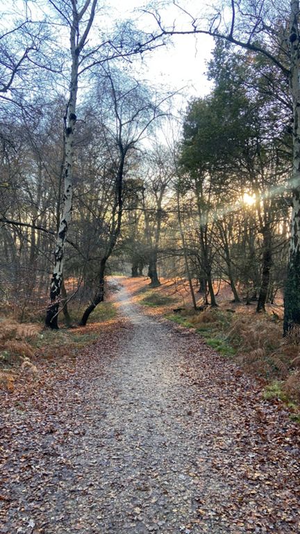
RideLondon Essex Loop 1
Cycling Route
Save
Share
Details
44.42 km
408 m
Created By
Elle Linton (keep it simpElle)
February 24, 2022
·
Public
Route and Elevation
Segments
Name
Distance
Elev. Diff.
Avg. Grade
Earl Path. Short and sharp
0.96 km
42 m
4.3%
Earls short
0.33 km
23 m
6.9%
Robin Hood to the Dealers Car Park of Choice
1.24 km
24 m
1.6%
B1393 City Limits to Bell Common Epping
2.86 km
-14 m
-0.2%
Miller & Carter Roundabout to Crown Hill
1.21 km
5 m
0.3%
Epping road
4.28 km
-8 m
-0.1%
Banners Hospital bounce
0.47 km
3 m
0.6%
Junction to Junction - Crown Hill to Bell Common
1.52 km
-6 m
-0.4%
High Street Dash
0.52 km
-1 m
-0.2%
Council Offices to The Lights
0.53 km
9 m
0.8%
Curta subida
0.40 km
10 m
2.5%
DBBC Epping To North Weald Full Distance
4.97 km
-37 m
-0.4%
Epping Road
1.67 km
-19 m
-0.9%
Forest to Airfield
2.09 km
-27 m
-1.0%
North Weald Punch
3.14 km
-20 m
-0.2%
North Wield false flat uphill
0.85 km
16 m
1.9%
North Weald Basset Climb to roundabout
1.04 km
15 m
1.3%
Harvester to Hall
2.78 km
-34 m
-1.2%
Blakes
1.26 km
-7 m
-0.6%
Blake Hall Road Climb
0.52 km
86 m
16.5%
Stony Lane to High Street
2.02 km
19 m
0.6%
Ongar Hill from Epping approach
0.72 km
19 m
2.6%
Four Wantz to the Brewers
1.38 km
-20 m
-1.3%
Through Chipping Ongar to Stondon Road
1.74 km
-21 m
-0.3%
Coopers Hill
0.40 km
15 m
3.7%
E16/10 Back
7.23 km
-32 m
-0.4%
Marden Ash to Bournbridge Ln
10.49 km
62 m
0.2%
Ongar to Chigwell
13.22 km
71 m
0.1%
30mph speed gun
1.20 km
17 m
1.3%
Berwick-Hook
5.64 km
65 m
0.8%
Abridge 25K #7
1.45 km
39 m
2.7%
Passingford Bridge to New Road
3.80 km
65 m
1.7%
HookeyPole
2.94 km
-23 m
-0.3%
Abridge 25K #9
3.01 km
-25 m
-0.3%
Manor Road to Miller's Lane
1.75 km
-25 m
-1.4%
Max Power Test
0.41 km
-15 m
-2.5%
Part of Manor Road
1.73 km
-13 m
-0.3%
Lambourne Sprint
0.95 km
-8 m
-0.1%
Vicarage Lane
1.62 km
-40 m
-1.2%
The Senna S
0.24 km
-15 m
-6.0%
Roding Ln
1.22 km
-28 m
-2.3%
Lead out
0.26 km
-8 m
-3.0%
The Real Buckhurst Hill
1.61 km
67 m
4.1%
Palmerston Rd (after traffic lights)
1.00 km
47 m
4.7%
First blast
0.58 km
22 m
3.5%
Loughton Drop Top to Bottom
1.03 km
-38 m
-3.7%
High Road Drop
1.74 km
-45 m
-2.6%
downhill to loughton
0.64 km
-36 m
-5.6%
Warren Hill to Nu Bar
0.70 km
-4 m
-0.6%
A121 short bit
0.33 km
2 m
0.6%