| The Hare sprint | 0.29 mi | 23 ft | 1.5% |
| GROOMBRIDGE HILL DESCENT | 0.91 mi | -269 ft | -5.6% |
| The Groom Wagon | 0.44 mi | 52 ft | 2.3% |
| UnhingedCycling Sprint Test | 0.21 mi | 13 ft | 1.3% |
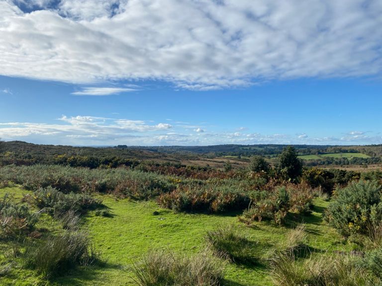
| Ashdown Forest | 4.73 mi | 584 ft | 2.3% |
| Cherry Gardens Climb | 0.98 mi | 226 ft | 4.3% |
| FRIAR'S GATE | 2.90 mi | 210 ft | 1.3% |
| London Rd to Pub | 0.95 mi | -144 ft | -2.9% |
| Climb To The Ashdown Forest Sign | 0.37 mi | 89 ft | 4.5% |
| Black Hill Bottom to Top | 2.21 mi | 525 ft | 4.5% |
| TOS St 3 finish | 0.68 mi | 223 ft | 6.2% |
| B2188 Climb | 0.99 mi | 308 ft | 5.9% |
| Get the worst of it out the way | 0.39 mi | 135 ft | 6.5% |
| 5 minutes in to the climb | 1.23 mi | 318 ft | 4.9% |
| Attack to stay away | 1.45 mi | 292 ft | 3.8% |
| Scioglimento gelato | 0.62 mi | -33 ft | -1.0% |
| new tarmac to the top dg | 0.70 mi | -56 ft | -1.4% |
| duddleswell Decent | 1.46 mi | -325 ft | -4.2% |
| Down Toll Lane | 0.57 mi | -108 ft | -3.6% |
| Tylers Lane Climb | 0.26 mi | 69 ft | 4.9% |
| Ricketts Lane Down | 0.61 mi | -49 ft | -0.7% |
| Down St to Splaynes Gn | 1.03 mi | -59 ft | -0.4% |
| Spooky | 0.62 mi | -43 ft | -0.2% |
| Escape from Witches Lane | 0.25 mi | 62 ft | 4.6% |
| half way ketchup | 0.70 mi | -39 ft | -0.9% |
| Ketches A275 to crossroads | 1.85 mi | -69 ft | -0.1% |
| Ketchup mini climb | 0.24 mi | 59 ft | 4.6% |
| Ketche's Lane Climb | 0.29 mi | 79 ft | 5.2% |
| Treemans Road, Horstead Keynes | 0.69 mi | 167 ft | 4.5% |
| Through Horsted Keynes | 0.47 mi | 39 ft | 1.5% |
| Birchgrove Road Climb (Full) | 2.47 mi | 226 ft | 1.7% |
| The Hatch run | 2.29 mi | -269 ft | -2.2% |
| Coleman's Sprint | 0.32 mi | -62 ft | -2.2% |
| Colemans bump | 0.10 mi | 36 ft | 6.6% |
| Coach Road to Jib Jabs Hill | 1.85 mi | -141 ft | -1.4% |
| Car door alley | 0.32 mi | -26 ft | -1.0% |
| Hartfield to Groombridge Fork | 3.34 mi | 161 ft | 0.0% |
| Hartfield to Withyam bumps | 1.26 mi | -72 ft | -0.7% |
| B2110 out of Hartfield | 0.24 mi | 36 ft | 2.8% |
| Station Road - Ladies Mile | 0.29 mi | 95 ft | 6.1% |
| From the Lady to the Groom | 1.09 mi | -157 ft | -2.6% |
| Forest Way Corner | 0.30 mi | 26 ft | 1.3% |
| Sprint to the railway bridge | 0.26 mi | 62 ft | 4.6% |
| Ramping up past Groombridge station | 0.50 mi | 85 ft | 3.2% |
| Broadwater Blast | 3.74 mi | 210 ft | 1.1% |
| Way back home | 0.76 mi | 85 ft | 1.6% |
| Hillswood rd to Lodge lane | 0.43 mi | 79 ft | 3.5% |
| High Rocks Climb | 0.14 mi | 36 ft | 4.6% |
| Hungersall Park | 0.62 mi | 144 ft | 4.3% |
| Hungershall just the hill | 0.20 mi | 82 ft | 7.7% |
