route-highlight
Past Week
route-highlight
Past Two Weeks
route-highlight
Past Month
route-highlight
Past Month
route-highlight
Past Month
route-highlight
+ 114

Kid's Zone-Spring Creek/Poudre Trail

Cycling Route

Details
18.57 mi
289 ft
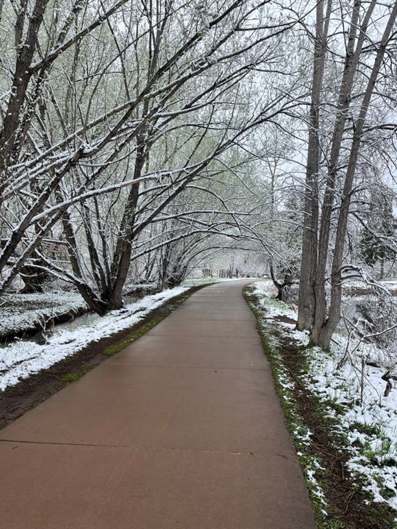
This is a great loop for older experienced kids wanting some paved miles or for littles who are pretty tolerant of riding in the trailer. Be sure to pack books, screens, lunch, and drinks. Consider stopping at some of the parks, creeks and rivers along the way. there are also plenty of places to stop for lunch in Old Town. This is going to be at least a 2hr adventure.
You will ride on Mason Street for a bit but it does have bike lanes.
Created By
Dan Porter- YGR

Route and Elevation

Segments

NameDistanceElev. Diff.Avg. Grade
Spring Creek West3.66 mi-121 ft-0.5%
Pineridge to EPIC5.70 mi-200 ft-0.7%
Taft Hill to Riverside4.82 mi-161 ft-0.6%
SpringCrk - Taft to Centre2.27 mi-89 ft-0.7%
SPRING CREEK BRIDGE TO BRIDGE1.92 mi-66 ft-0.6%
Rolland Moore Sprint0.57 mi-10 ft-0.3%
R Moore fun0.53 mi-7 ft-0.3%
Spring Creek, Fischer to Mason St. Corridor1.45 mi-52 ft-0.6%
Greasy Goose0.87 mi-23 ft-0.5%
Mason/Poudre/Spring Creek - Counterclockwise9.55 mi102 ft0.0%
Spring Creek Trail (College to Stover)0.54 mi-20 ft-0.6%
Spring Creek Narrows0.50 mi-20 ft-0.7%
Lemay to Lemay - S to N4.04 mi-39 ft-0.0%
Past the health club and duck pond1.01 mi-30 ft-0.6%
Edora Park Eastbound0.47 mi-20 ft-0.7%
Spring Creek Trail - Coterie to Creek Crossing0.53 mi-13 ft-0.5%
Passing Lane W -> E0.32 mi-10 ft-0.6%
Spring Creek to Linden via the Poudre3.44 mi52 ft0.3%
Natural Area Northbound on Poudre Trail0.59 mi13 ft0.4%
Endor0.72 mi13 ft0.4%
Dagobah0.39 mi7 ft0.3%
Poudre Trail - Lincoln to Linden0.24 mi7 ft0.4%
Maple to the Mayor 0.86 mi13 ft0.3%
The Linty Navel0.22 mi7 ft0.3%
Gardens to Shields Tunnel 0.75 mi26 ft0.5%
SpringCrk - Centre to Taft2.26 mi85 ft0.7%
Roland Moore Climb0.66 mi36 ft1.0%
RM Climb III0.67 mi30 ft0.7%
Spring Creek Dirt0.52 mi10 ft0.3%