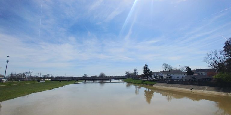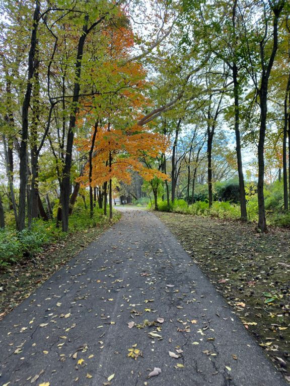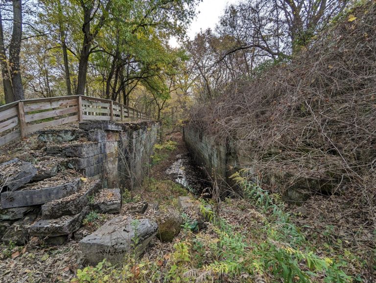


+ 6
Rolling Into Troy, Donut Style
Cycling Route
Details
16.68 mi
134 ft
Route and Elevation
Segments
| Name | Distance | Elev. Diff. | Avg. Grade |
|---|---|---|---|
| Ohio BR25 S Troy RR bridge to Tipp City Pool | 6.75 mi | -33 ft | -0.1% |
| Twisty | 0.20 mi | -10 ft | -0.9% |
| River Flow | 0.63 mi | 13 ft | 0.3% |
| Dye Mill to Tipp Pool | 4.80 mi | -30 ft | -0.1% |
| Rec Trail to Tipp | 3.25 mi | -13 ft | -0.1% |
| Dye Mill parking lot to Tipp pool | 3.75 mi | -20 ft | -0.1% |
| Canal Lock Park to Con Agra Foods | 5.29 mi | 36 ft | 0.1% |
| Ridge Line B | 0.37 mi | -26 ft | -0.4% |
| Tipp City pool to Dye mill parking lot | 4.62 mi | 33 ft | 0.1% |
| Tipp City Pool to Dye Mill | 3.78 mi | 20 ft | 0.1% |
| Troy drag strip | 1.02 mi | 7 ft | 0.0% |
| Use Ohio BR25 N Dye Mill to Adams St Bridge | 2.49 mi | 30 ft | 0.1% |
| Sprint to Adams Street bridge | 0.70 mi | -10 ft | -0.0% |
| Adams St. Bridge | 0.14 mi | 16 ft | 0.2% |