活动
最常进行的运动
跑步
骑行
步行
远足
跑步
骑行
功能
地图
挑战
订阅
登录
免费加入
注册
主页
活动
跑步
骑行
步行
远足
功能
地图
挑战
订阅
用户服务
注册
登录
获取应用程序
+ 94
#4 Roding Valley Greenway
越野跑路线
保存
分享
比较轻松
16.95公里
65米
创建者
Elle Linton (keep it simpElle)
2022年8月26日
·
公开
路线和海拔
路段
名字
距离
海拔高度差
平均坡度
River Run West
2.12公里
-7米
-0.3%
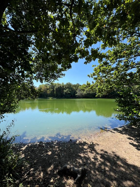
River Roding to the Lake
1.42公里
-3米
-0.1%
parkrun by the river roding
0.97公里
-2米
-0.0%
Lesley's Bridge To Pam's Corner Park Run
0.24公里
-1米
0.0%
River Roding at Ray Park
0.64公里
3米
0.1%
Roding Valley Park Trail - Down
1.01公里
3米
0.1%
Charlie Brown to Underpass - Riverside
1.08公里
-6米
-0.2%
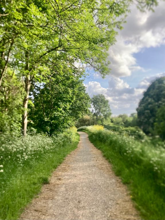
Roding towpath - Charlie Brown's to Redbridge
2.07公里
-8米
-0.2%
(EFG S150x) Roding Valley Way from Charlie Browns roundabout approach to M11/A406 underpass/footbridge 3
0.98公里
-6米
-0.3%
tunnel to redbridge
0.98公里
-4米
-0.1%
(EFG S149x) Roding Valley Way from M11/A406 underpass/footbridge 3 to footbridge 2
0.31公里
2米
0.3%
(EFG S148x) Roding Valley Way from footbridge 2 to footbridge 1
0.29公里
-1米
-0.4%
(EFG S155) Roding Valley Way from footbridge 1 to A12
0.34公里
1米
0.3%
Redbridge Roundabout to WLC
0.39公里
3米
0.7%
Redbridge Ln W Climb
0.57公里
21米
3.6%
bin to langley
0.28公里
12米
4.3%
tree to recycling bins
0.50公里
15米
2.9%
Down the mud slide
0.13公里
-12米
-9.0%
Park to Flats around the graves
1.92公里
9米
0.2%
CoL Cemetry Dash
1.37公里
-3米
0.0%
Death and allotments
1.17公里
-3米
-0.1%