Activities
Top Sports
Running
Cycling
Walking
Hiking
Running
Cycling
Features
Maps
Challenges
Subscription
Log In
Join for Free
Sign Up
Home
Activities
Running
Cycling
Walking
Hiking
Features
Maps
Challenges
Subscription
Support
Sign Up
Log In
Get the App
+ 76
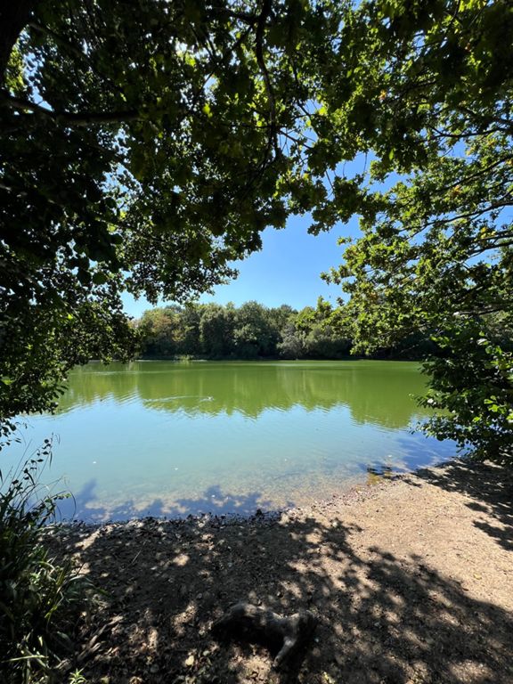
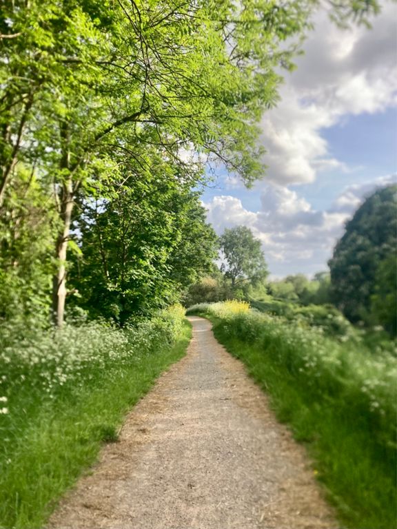
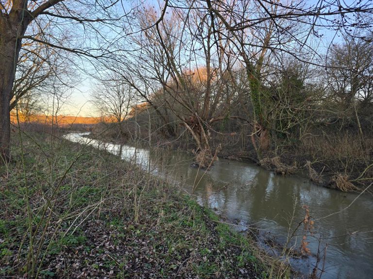
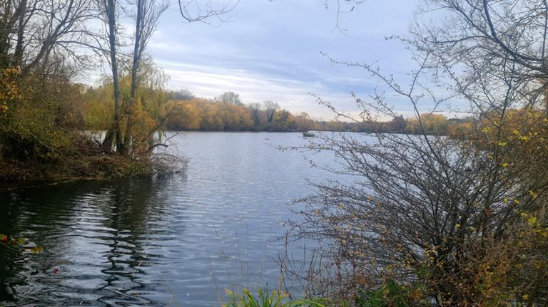
#4 Roding Valley Greenway
Trail Running Route
Save
Share
Easy
16.95 km
65 m
Created By
Elle Linton (keep it simpElle)
August 26, 2022
·
Public
Route and Elevation
Segments
Name
Distance
Elev. Diff.
Avg. Grade
River Run West
2.12 km
-7 m
-0.3%
River Roding to the Lake
1.42 km
-3 m
-0.1%
parkrun by the river roding
0.97 km
-2 m
-0.0%
Lesley's Bridge To Pam's Corner Park Run
0.24 km
-1 m
0.0%
River Roding at Ray Park
0.64 km
3 m
0.1%
Roding Valley Park Trail - Down
1.01 km
3 m
0.1%
Charlie Brown to Underpass - Riverside
1.08 km
-6 m
-0.2%
Roding towpath - Charlie Brown's to Redbridge
2.07 km
-8 m
-0.2%
(EFG S150x) Roding Valley Way from Charlie Browns roundabout approach to M11/A406 underpass/footbridge 3
0.98 km
-6 m
-0.3%
tunnel to redbridge
0.98 km
-4 m
-0.1%
(EFG S149x) Roding Valley Way from M11/A406 underpass/footbridge 3 to footbridge 2
0.31 km
2 m
0.3%
(EFG S148x) Roding Valley Way from footbridge 2 to footbridge 1
0.29 km
-1 m
-0.4%
(EFG S155) Roding Valley Way from footbridge 1 to A12
0.34 km
1 m
0.3%
Redbridge Roundabout to WLC
0.39 km
3 m
0.7%
Redbridge Ln W Climb
0.57 km
21 m
3.6%
bin to langley
0.28 km
12 m
4.3%
tree to recycling bins
0.50 km
15 m
2.9%
Down the mud slide
0.13 km
-12 m
-9.0%
Park to Flats around the graves
1.92 km
9 m
0.2%
CoL Cemetry Dash
1.37 km
-3 m
0.0%
Death and allotments
1.17 km
-3 m
-0.1%