活動
最常做的運動
跑步
騎車
步行
健行
跑步
騎車
功能
地圖
挑戰
訂閱版
登入
免費加入
註冊
首頁
活動
跑步
騎車
步行
健行
功能
地圖
挑戰
訂閱版
支援
註冊
登入
取得應用程式
+ 65
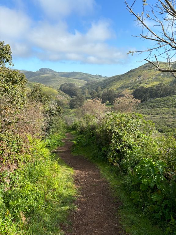
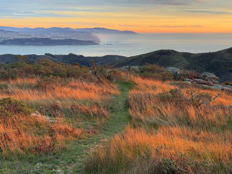
Xmas Eve Loop
跑步路線
儲存
分享
困難
10.0 英里
1,699 呎
建立者:
San Francisco Running Company
2022年12月21日
·
公開
路線和海拔
路段
名稱
距離
海拔差異
平均坡度
Marin Ave to Oakwood Valley
0.55 英里
16 呎
0.0%
Oakwood Valley (Tennessee Valley to Alta)
1.33 英里
541 呎
7.4%
Oakwood loop up - counterclockwise
0.64 英里
125 呎
3.7%
Common Oakwood Climb
0.60 英里
459 呎
14.3%
Alta Trail Climb
0.37 英里
180 呎
8.9%
Alta (Oakwood Valley to Bobcat)
0.53 英里
85 呎
2.8%
Bobcat (Alta to Marincello)
0.73 英里
121 呎
2.8%
Marincello Tr Climb
0.36 英里
184 呎
9.5%
Marincello -> VOR Climb
0.32 英里
154 呎
8.9%
Miwok (Marincello to Old Springs)
0.86 英里
-404 呎
-5.7%
Moon-cut
0.21 英里
-30 呎
-1.0%
Airbase to Old Springs
0.38 英里
-351 呎
-17.4%
Wolf Ridge Trail Climb
0.67 英里
282 呎
7.3%
Coastal Trail Climb
0.23 英里
138 呎
11.3%
Coastal Trail Climb
0.23 英里
200 呎
16.1%
Hill 88 Up
0.16 英里
92 呎
10.4%
Hill 88 Down
0.15 英里
-85 呎
-10.8%
Descent from Hill 88 - Steep part
1.07 英里
-823 呎
-14.6%
Wolf Ridge to Tennessee Valley Descent Only
0.95 英里
-787 呎
-15.6%
Coastal Trail (Wolf Ridge to Lower Tenn Valley Trail)
1.12 英里
-787 呎
-13.3%
TValley Beach to Parking Lot Road Climb
0.70 英里
95 呎
2.2%
Tenn Valley Uphill Dash
0.17 英里
49 呎
5.4%
Rhubarb (Miwok to Oakwood Valley)
0.67 英里
-180 呎
-4.8%
Downhill from TVall
0.58 英里
-118 呎
-3.5%
Tennessee Valley Exit (Oakwood Valley -> Marin Ave)
0.49 英里
-20 呎
-0.6%