| Old Page Mill Road | 0,83 mi | 69 ft | 1,2% |
| Page Mill - Arastradero to Moody | 2,51 mi | 679 ft | 5,1% |
| Page Mill - Arastradero to Altamont | 1,91 mi | 495 ft | 4,9% |
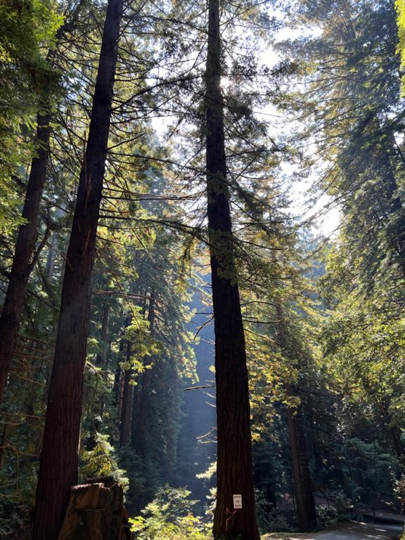
| Page Mill Road (Low-Key Hillclimbs) | 8,30 mi | 1.985 ft | 4,5% |
| Page Mill - First Half | 2,42 mi | 837 ft | 6,5% |
| Page Mill - Alexis to Via Ventana | 0,47 mi | 197 ft | 7,9% |
| Page Mill: Altamont to FH 01 (500ft ascend) | 1,32 mi | 456 ft | 6,5% |
| partial page mill - palo alto town sign to that one plateau | 2,47 mi | 925 ft | 7,0% |
| Page Mill - Park Entrance to Moody | 0,21 mi | 112 ft | 9,7% |
| Page Mill - Moody to Montebello Open Space | 4,39 mi | 1.257 ft | 5,4% |
| Page Mill (SW): Moody → DeathSnake | 0,95 mi | 243 ft | 4,4% |
| Page Mill—Moody to drinking fountain | 3,94 mi | 1.175 ft | 5,6% |
| Page Mill—Naked Lady (Gate 3 to Gate 4) | 0,63 mi | 318 ft | 9,3% |
| Page Mill - Last steep bump at Los Trancos | 0,16 mi | 92 ft | 10,5% |
| Page Mill Climb, Final Mile to Skyline | 1,04 mi | -98 ft | -0,1% |
| 84 - Pescadero to Stage | 7,26 mi | -276 ft | -0,7% |
| Stage Rd. | 1,01 mi | 374 ft | 7,0% |
| Stage and Tunitas | 11,61 mi | 1.946 ft | 3,1% |
| Tunitas Creek | 9,13 mi | 1.929 ft | 3,9% |
| Tunitas Creek - Hwy1 to Lobitos Creek Rd | 3,64 mi | 394 ft | 1,8% |
| tuni first part | 3,40 mi | 705 ft | 3,9% |
| Tunitas - Cutoff to Lobitos Proper | 1,61 mi | 302 ft | 3,4% |
| Tunitas Creek Lower Climb (redwood to Mitchell Crk) | 1,30 mi | 420 ft | 6,1% |
| Tunitas Creek - Lobitos Creek to Skyline | 5,90 mi | 1.617 ft | 5,4% |
| Tunitas—Lobitos Ck to Grassy Knoll | 2,72 mi | 1.135 ft | 7,9% |
| Tunitas Creek - Steep part to top | 4,75 mi | 1.394 ft | 5,6% |
| Tunitas Creek - Steep(s) | 1,20 mi | 600 ft | 9,4% |
| Tunitas climb - in shadow of Bald Knob | 0,61 mi | 282 ft | 8,6% |
| Tunitas (E): Grassy Knoll ⇢ Star Hill | 1,55 mi | 338 ft | 4,1% |
| Top Part of Tunitas | 2,74 mi | 476 ft | 3,4% |
| Tunitas, Star Hill to Skyline | 1,18 mi | 164 ft | 2,6% |
| Tunitas Final Sprint | 0,19 mi | 30 ft | 2,9% |
| Kings Mtn Rd descent (be careful) | 4,07 mi | -1.529 ft | -7,1% |
| Tripp to Manuella Sprint | 0,40 mi | -20 ft | -0,6% |
| Kings-Roberts Sprint | 0,71 mi | -30 ft | -0,6% |
| Robert's to Alpine stop sign | 5,50 mi | 207 ft | 0,6% |
| Mountain Home | 2,09 mi | 85 ft | 0,0% |
| Portola - Sand Hill to Alpine | 3,39 mi | 207 ft | 1,1% |
| portola - sandhill past olh | 0,57 mi | 43 ft | 0,7% |
| Portola Rd Natural Break | 0,33 mi | 39 ft | 2,0% |
| Family Farm to Churches (Terun) | 0,68 mi | 56 ft | 1,5% |
| Kaboom Cycling - Guard Rail Sprint | Stick to that Rear Wheel! | 0,67 mi | 102 ft | 2,9% |
| Westridge - Willowbrook | 0,36 mi | 52 ft | 2,7% |
| Windy Hill guardrail sprint | 0,18 mi | 23 ft | 2,2% |
| Firehouse Sprint | 0,41 mi | 36 ft | 1,5% |
| Arastradero, Alpine to top. | 0,77 mi | 82 ft | 1,7% |
| Arastradero Sprint - Noon Ride | 1,31 mi | -161 ft | -1,2% |
| Arastradero Hill South | 0,38 mi | 75 ft | 3,8% |
| Juan Bautista to Woodland | 0,23 mi | 33 ft | 2,5% |
| Old Page Mill (Downhill) | 0,81 mi | -62 ft | -1,3% |