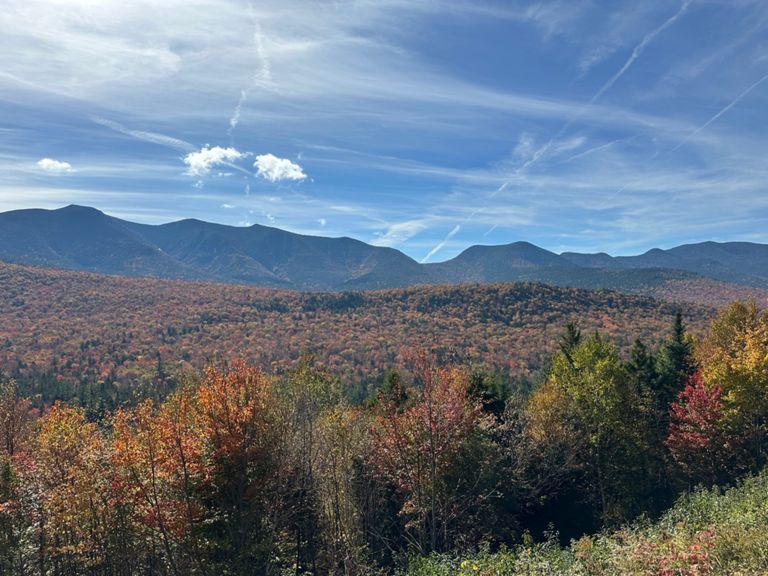
| Bear Notch South 302 to Kanc | 8.68 英里 | 1,112 呎 | 1.2% |
| #QT2 Bear Notch to Top 'o Cank | 18.51 英里 | 2,047 呎 | 2.1% |
| bear notch full climb | 4.84 英里 | 1,112 呎 | 4.3% |
| Bear Notch Road Southbound | 3.82 英里 | 981 呎 | 4.9% |
| Bear Notch Rd Climb | 1.21 英里 | 279 呎 | 4.3% |
| Bear Notch Road Southbound | 4.53 英里 | 1,109 呎 | 4.6% |
| Bear Notch - Gate to Gate | 7.42 英里 | 1,102 呎 | 1.8% |
| Bear Notch Gate to Summit | 4.12 英里 | 1,030 呎 | 4.7% |
| Bear Notch gate to Attitash Trail | 2.20 英里 | 558 呎 | 4.8% |
| Bear Notch Gate to the Top | 4.25 英里 | 997 呎 | 4.4% |
| Bear Notch 2 | 5.02 英里 | 981 呎 | 3.4% |
| Bear Notch Southboud Descent | 3.70 英里 | -522 呎 | -2.7% |
| Bear Notch Road to Kancamagus Pass | 9.76 英里 | 1,696 呎 | 3.3% |
| Kancamagus Highway Climb | 1.56 英里 | 404 呎 | 4.9% |
| Kanc Five Mile Climb to Rest Area | 4.82 英里 | 1,391 呎 | 5.5% |
| Kanc Five Mile Climb | 5.00 英里 | 1,437 呎 | 5.4% |
| Kancamangus going West | 4.81 英里 | 1,430 呎 | 5.6% |
| kanc hill climb | 4.83 英里 | 1,430 呎 | 5.6% |
| Crank the Kank Finishing Climb | 4.59 英里 | 1,329 呎 | 5.5% |
| Jeff v Chris 2 | 3.76 英里 | 1,119 呎 | 5.6% |
| Kancamagus Hwy Climb | 1.04 英里 | 289 呎 | 5.2% |
| Kancamagus Final Kick (east) | 0.27 英里 | 82 呎 | 4.5% |
| Loon hump | 1.85 英里 | -157 呎 | -1.2% |
| Connector Rd Westbound | 0.93 英里 | -20 呎 | -0.0% |
| ToTheNotch | 4.22 英里 | 522 呎 | 2.3% |
| Clarks to Becon | 2.35 英里 | 203 呎 | 1.5% |
| Indian Head Hill Attack - Safer Version | 0.91 英里 | 246 呎 | 5.0% |
| Franconia Notch Bike Path Flume to Mt Cannon | 5.47 英里 | 636 呎 | 2.1% |
| Dodger | 6.50 英里 | 643 呎 | 1.7% |
| Styles Bump Up | 0.18 英里 | 36 呎 | 3.1% |
| Bike Path Profile Climb | 0.69 英里 | -151 呎 | -1.5% |
| Crawford Descent Eastbound | 1.56 英里 | -482 呎 | -5.8% |
| Crawford Speed Trap | 1.35 英里 | -482 呎 | -6.7% |
| Bear Notch Rd to Attitash | 2.23 英里 | -95 呎 | -0.5% |