Activities
Top Sports
Running
Cycling
Walking
Hiking
Running
Cycling
Features
Maps
Challenges
Subscription
Log In
Join for Free
Sign Up
Home
Activities
Running
Cycling
Walking
Hiking
Features
Maps
Challenges
Subscription
Support
Sign Up
Log In
Get the App
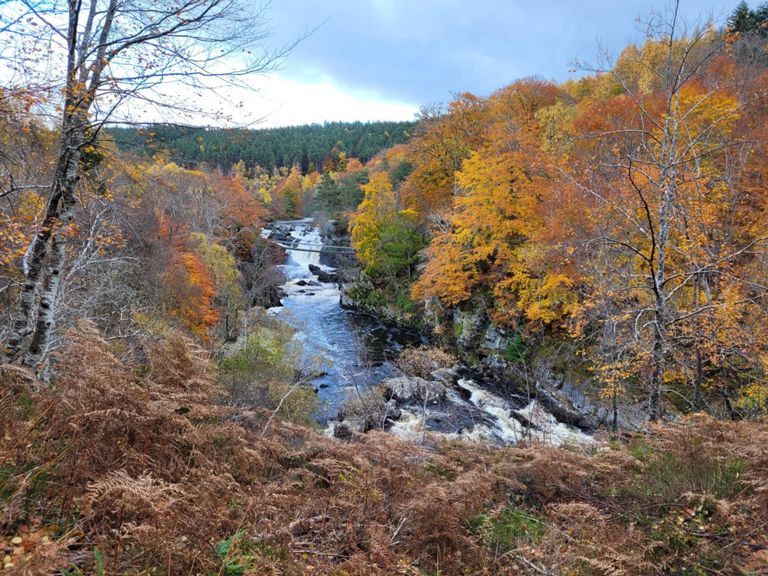
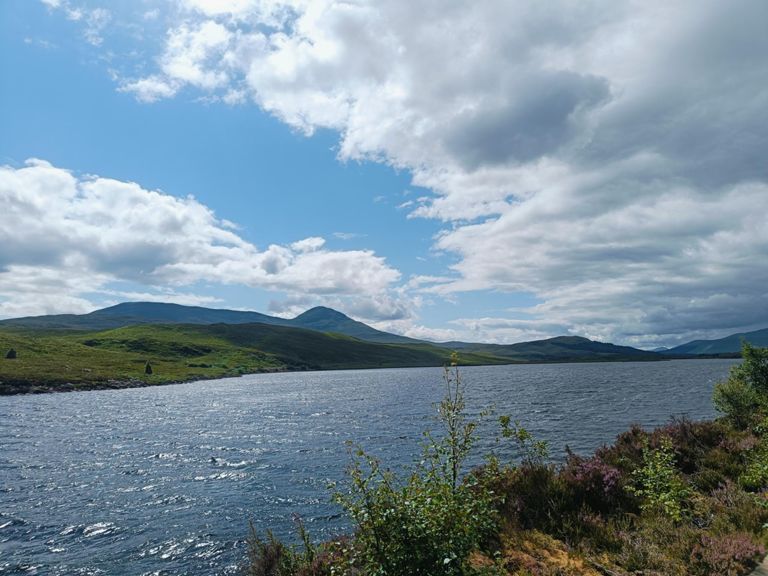
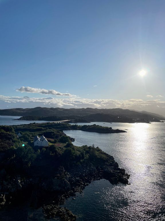
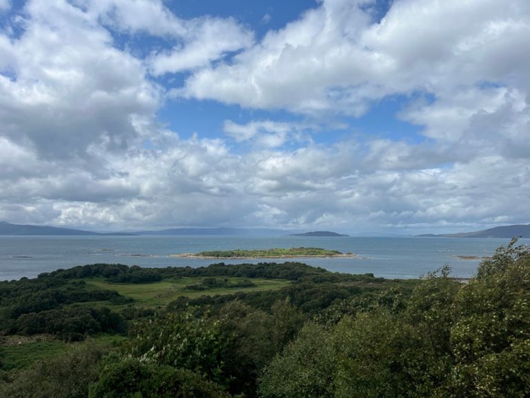
+ 70
bridge to bridge DBA
Cycling Route
Save
Share
Details
78.18 mi
3,829 ft
Created By
Sally M
September 15, 2022
·
Public
Route and Elevation
Segments
Name
Distance
Elev. Diff.
Avg. Grade
Kyleakin hill sprint
0.42 mi
66 ft
2.9%
Kyleakin to Kyle
1.61 mi
-121 ft
-0.2%
Gates to the roundabout
0.19 mi
59 ft
5.6%
Skye Bridge east
0.99 mi
-92 ft
-1.1%
Climb out of Kyle of Lochash
0.47 mi
85 ft
3.4%
Michael Matheson Homeward Bound
3.37 mi
197 ft
0.2%
Kyle to Erbusaig
1.05 mi
92 ft
0.1%
Erbusaig Climb
0.67 mi
171 ft
4.8%
Ebusaig hill dash
0.23 mi
98 ft
8.1%
Top of Erb hill to Duirinish
1.48 mi
-148 ft
-1.1%
Strathie
1.08 mi
276 ft
3.7%
Bank St Climb
0.77 mi
269 ft
6.6%
Brax Attack 2 -TEST
4.22 mi
253 ft
0.1%
Brax Attack 2
4.32 mi
-292 ft
-0.4%
Onwards and Upwards
0.44 mi
89 ft
2.2%
Brax Attack 3 - Test
1.34 mi
-82 ft
-0.2%
Brax Attack 3
1.43 mi
-141 ft
-0.7%
Portchullin Climb
0.23 mi
279 ft
22.3%
Achmore Dash
0.57 mi
138 ft
4.2%
A890 climb through Achmore
1.61 mi
371 ft
4.1%
An Meallan Climb
1.55 mi
400 ft
4.9%
a890 decent
1.24 mi
-436 ft
-6.6%
up and down
1.16 mi
253 ft
0.1%
Attadale 14%
0.32 mi
210 ft
12.4%
An Carin Alt North Climb
0.47 mi
246 ft
9.8%
Attadale climb, just main climb
0.22 mi
171 ft
14.2%
Atterdale North, Full Climb
0.42 mi
223 ft
10.0%
Loch Luichart Lumps
0.82 mi
102 ft
2.3%
Gorstan to Contin turn
6.75 mi
-305 ft
-0.6%
Garve Level Crossing Southbound
0.19 mi
-16 ft
-0.9%
Garve Hazard
0.19 mi
-3 ft
-0.3%
Garve over passed Rogie
4.60 mi
-184 ft
-0.5%
Rogie falls
1.08 mi
-282 ft
-4.9%
Sprint into the Muir
0.63 mi
43 ft
0.2%
west road sprint
0.10 mi
16 ft
2.7%
West Rd Extended Sprint!
0.46 mi
26 ft
0.3%
Show Field Junction to Garguston
1.27 mi
43 ft
0.3%
A832 Yeeehaa to Redcastle
0.99 mi
-194 ft
-3.7%
Redcastle - North Kessock
4.46 mi
-62 ft
-0.0%
shore road to kessock
3.14 mi
16 ft
0.1%