


+ 142
SDW: 11km
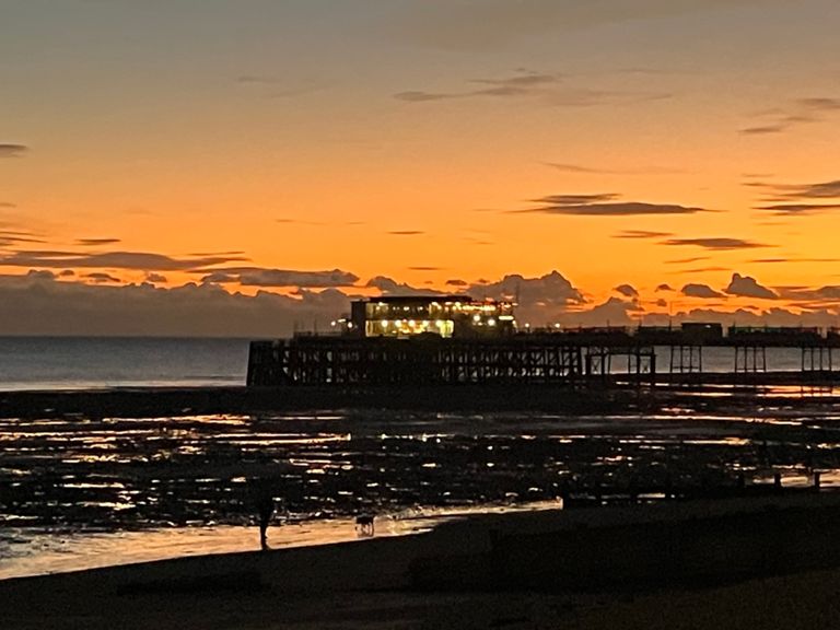
Running Route
Easy
10.76 km
10 m
Route and Elevation
Segments
| Name | Distance | Elev. Diff. | Avg. Grade |
|---|---|---|---|
| Bus Stop to Beach Green | 1.15 km | 5 m | 0.4% |
| Dig deep East | 0.47 km | 4 m | 0.5% |
| Banstand to Yacht Club | 0.98 km | -2 m | -0.1% |
| lagoon to halfbrick | 3.46 km | 4 m | 0.0% |
| GLR Yacht to Poppy | 0.97 km | 4 m | 0.4% |
| Old Lifeboat to crossing | 1.47 km | 14 m | 0.6% |
| Lancing Brooklands to Worthing Splashpoint | 2.36 km | -10 m | -0.1% |
| Western Road to Selden Road | 1.88 km | 2 m | 0.0% |
| bus stop to bus stop E to W | 0.52 km | 1 m | 0.1% |
| Seamill Park Avenue to end of Esplanade | 1.54 km | 1 m | 0.1% |
| Seafront (windsor to selden) | 0.22 km | -5 m | -1.4% |