route-highlight
route-highlight
route-highlight
route-highlight
route-highlight
route-highlight
+ 154

2024 Bill Bone Giro (40 & 60 Miles)

Cycling Route

Details
60.29 mi
685 ft
This is the full 60 mile route which passes Carlin Park which is the 20 mile rest stop for the 40 mile group. The 60 mile group rest stop is at Dunkin Doughnuts just past Bridge Road off of Federal Highway on the East side of Federal Highway (US1).

BRIDGE CLOSED: PLEASE BE ADVISED THAT THE BRIDGE ON NORTH A1A & US1 IS CLOSED AND WE WILL USE THE DETOUR (SEE MAPS AND THERE ARE ROAD SIGNS) TO INDIANTOWN ROAD.

Both groups return in the same direction.

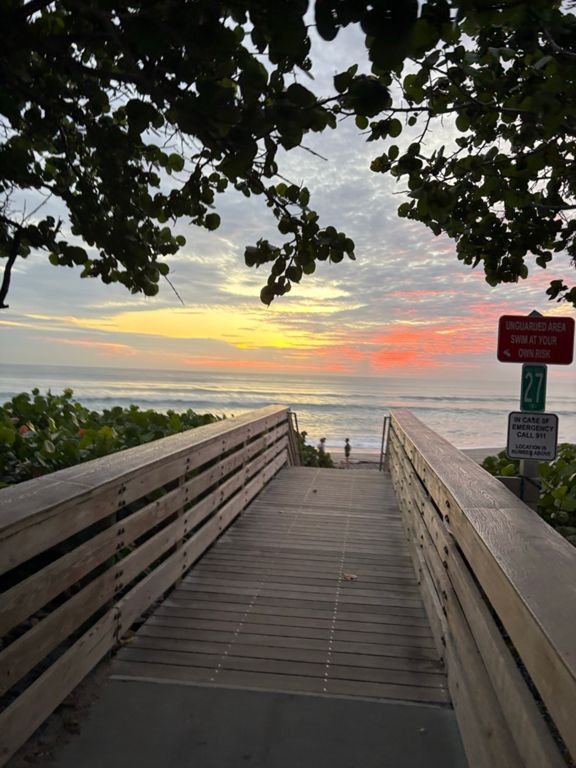
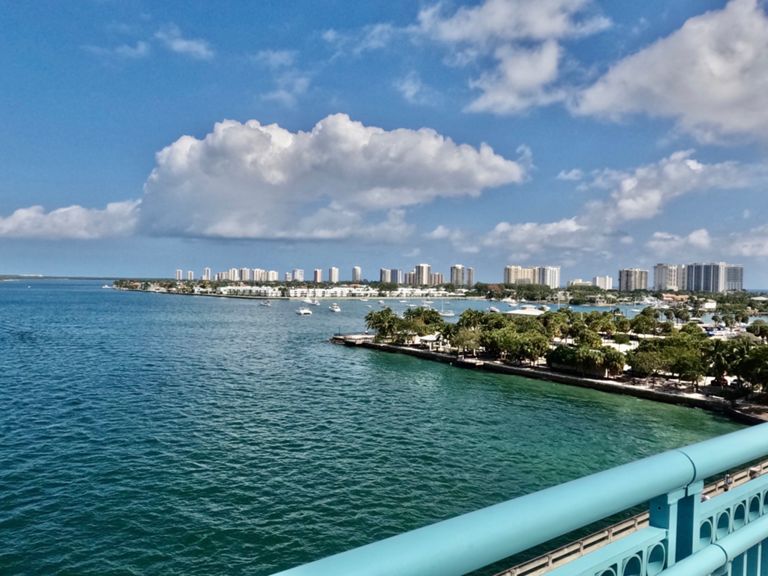
The ride is on AIA/Ocean Avenue and Federal Highway/US1 for most of the time.

Rest Stop (Cans of Coke, Bottles of Water, Snacks to Go). We will also take a group photo by Velo Pista Photo. The rest stop will be approximately 15 minutes.
Created By
ESP Timing

Route and Elevation

Segments

NameDistanceElev. Diff.Avg. Grade
North Flagler Drive Climb0.37 mi358 ft18.0%
PBYC to the Flags. Don't hit the PBL Blvd light :-) 0.82 miles0.82 mi7 ft0.1%
Broadway Overpass, End to End0.50 mi46 ft0.2%
Broadway Overpass N- Bound to peak0.20 mi46 ft4.4%
Broadway's Port decent to Jim Barry Park .53m0.53 mi-69 ft-2.2%
Broadways 10 Street Dash North (11th to 21st) 0.53m Dash0.54 mi-43 ft-1.2%
singer island northbound from ocean mall light to lost tree light4.05 mi-10 ft-0.0%
Singer island to Carlin Park10.83 mi30 ft0.0%
N Ocean Ave to MacArthur Park2.93 mi-10 ft-0.0%
A1A N Publix to Marcinski3.51 mi23 ft0.1%
Donald Ross to Xanadu3.09 mi-13 ft-0.0%
Donald Ross to Ocean Royale0.59 mi-3 ft-0.0%
Corners downhill0.48 mi-16 ft-0.7%
E Indiantown Rd sprint0.44 mi7 ft0.3%
Indiantown Rd W Bridge - 1st United to Jonathan Dr0.61 mi-36 ft-0.2%
Indiantown Rd Intracoastal Bridge Climb West0.19 mi36 ft2.7%
REAL DEAL INDIANTOWN RD BRIDGE WEST0.25 mi-7 ft-0.3%
Indiantown Rd W Bridge - Us1 to Jonathan Dr0.38 mi36 ft0.1%
Indiantown Rd Intracoastal Bridge Descend West0.20 mi-23 ft-1.9%
Indiantown Rd West - Jonathan Dr to A1A0.25 mi3 ft0.2%
REAL DEAL US1 NORTH ALT A1A TO COUNTY LINE1.25 mi20 ft0.1%
REAL DEAL ALT A1A BRIDGE WEST0.32 mi-13 ft-0.3%
Indiantown Rd bridge eastbound0.34 mi36 ft0.2%
Jupiter to Juno (Indiantown to 1)5.05 mi-39 ft-0.1%
traffic light to traffic light2.62 mi23 ft0.1%
A1A Marcinski to Donald Ross - South0.96 mi3 ft0.1%
Sprint to J-Town0.27 mi10 ft0.6%
Lost Tree way from "1" to Park entry1.98 mi-13 ft-0.0%
Broadway overpass S-Bound, peak0.24 mi66 ft4.8%
Broadway Overpass S-Bound, end to end0.52 mi66 ft0.0%
Pine Street Climb0.27 mi-3 ft-0.0%
Feel the breeze0.62 mi-7 ft-0.0%