Atividades
Principais desportos
Corrida
Ciclismo
Passeio
Caminhada
Corrida
Ciclismo
Funcionalidades
Mapas
Desafios
Assinatura
Iniciar sessão
Aderir gratuitamente
Aderir
Página principal
Atividades
Corrida
Ciclismo
Passeio
Caminhada
Funcionalidades
Mapas
Desafios
Assinatura
Suporte
Aderir
Iniciar sessão
Obtenha a aplicação
+ 149
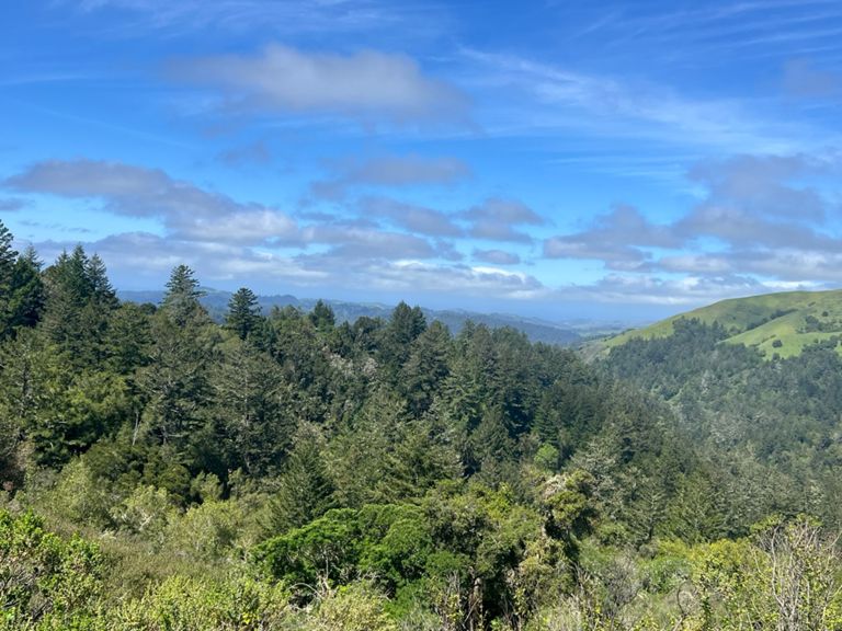
AVA Ride: 2023-10-22
Rota de ciclismo
Guardar
Partilhar
Detalhes
63,92 milhas
6 526 ft
Criado por
Michael Fryar
19 de outubro de 2023
·
Público
Rota e elevação
Segmentos
Nome
Distância
Dif. Elevação
Inclinação Média
Lagunita Sprint
0,33 milhas
7 ft
0,1%
Junipero Serra - Golf Course Sprint
0,51 milhas
-30 ft
-0,8%
Sand Hill - Sharon to top
0,85 milhas
135 ft
3,0%
Sand Hill 280 to top at horse park
0,49 milhas
95 ft
3,7%
84: Cañada to Kings
0,67 milhas
30 ft
0,3%
Kings Mt. 84 to Tripp
0,66 milhas
52 ft
1,5%
Kings Mountain (Tripp to Skyline)
4,22 milhas
1 621 ft
7,5%
Kings Mtn - Tripp to Huddart Park
1,43 milhas
512 ft
6,9%
Stop sign to Huddart Park
2,35 milhas
942 ft
7,6%
Kings park entrance + 1 mile
1,03 milhas
390 ft
7,1%
Kings Mtn (Huddart 10min Interval)
1,83 milhas
676 ft
7,0%
Kings Mountain Rd Second Half
2,01 milhas
827 ft
7,8%
Kings Mountain - Mile 3
1,00 milhas
423 ft
8,0%
Kings park entrance + 2 miles
1,01 milhas
423 ft
7,9%
Kings Mtn - Final Push
0,99 milhas
410 ft
7,7%
Kings last .7 mile
0,68 milhas
249 ft
6,8%
Kings Mtn to Highway 84
5,40 milhas
-850 ft
-2,1%
DH Skyline / Bear Gulch to 84
2,54 milhas
-666 ft
-4,9%
West 84 DH to OLH Intersect
2,73 milhas
-384 ft
-2,7%
Straight 'n' Steep, tuck in!
1,61 milhas
-479 ft
-5,6%
Down 84 -- WOLH to La Honda Store
3,24 milhas
-686 ft
-4,0%
La Honda S's
1,33 milhas
-151 ft
-2,0%
84 Sears Ranch to Pescadero Creek
0,46 milhas
-62 ft
-1,7%
West Alpine - full length
7,38 milhas
1 886 ft
4,5%
West Alpine - First Climb
2,61 milhas
627 ft
4,5%
West Alpine - First Half
2,15 milhas
902 ft
7,9%
West Alpine—Portola SP Rd to peak (RR gate 2)
2,48 milhas
840 ft
6,3%
Alpine last mile to peak
0,96 milhas
384 ft
7,6%
No Pedaling, No Braking
0,97 milhas
-174 ft
-3,3%
Skyline - Page Mill to Hwy 9
6,39 milhas
568 ft
1,1%
Hwy 9 Descent - Skyline to Redwood Gulch
3,01 milhas
-1099 ft
-6,9%
Hwy 9 Descent - Redwood Gulch Down to the Bridge
2,24 milhas
-705 ft
-5,9%
Hwy 9 Descent - Redwood Gulch to Sanborn
1,46 milhas
-545 ft
-7,0%
Hwy 9 Descent - Speed Trap
0,25 milhas
-85 ft
-6,5%
Pierce Rd Climb - Hwy 9 to Winery
0,36 milhas
135 ft
7,0%
Pierce DH - Winery to Mt. Eden
0,62 milhas
-279 ft
-8,4%
Mt Eden Back Side - Pierce to the Top
1,56 milhas
266 ft
2,9%
Pierce to Montebello
3,61 milhas
-289 ft
-0,1%
Mt Eden - East Side - the steep bit
0,41 milhas
213 ft
9,7%
Mt Eden - East Side - the really steep bit
0,13 milhas
92 ft
12,9%
Mt Eden - West side descent
0,69 milhas
-246 ft
-6,6%
Stevens Canyon Rd - Canyon Picnic Parking Lot to Reservoir Parking Lot
1,81 milhas
-43 ft
-0,2%
Northern Steven's Canyon TT (short version)
2,96 milhas
-141 ft
-0,8%
Sprint from Steven's Canyon - Montebello to McClellan
1,73 milhas
-138 ft
-1,4%
Stevens Creek Dam to Foothill Bump
2,43 milhas
-197 ft
-1,4%
Stevens Canyon Sprint from past parking lot to top of hill
0,82 milhas
-85 ft
-1,8%
Thursday Night Sprint
0,34 milhas
-16 ft
-0,6%
PV Sprint for coffee
0,30 milhas
-30 ft
-1,4%
Foothill - Arastradero to Page Mill
1,28 milhas
49 ft
0,4%
Foothill - Arastradero to Hillview
0,61 milhas
16 ft
0,1%