| Dish entrance to Page Mill | 0.35英里 | -13英尺 | -0.5% |
| Old Page Mill Road | 0.83英里 | 69英尺 | 1.2% |
| Page Mill - Arastradero to Moody | 2.51英里 | 679英尺 | 5.1% |
| Page Mill - Arastradero to Altamont | 1.91英里 | 495英尺 | 4.9% |
| Page Mill Road (Low-Key Hillclimbs) | 8.30英里 | 1,985英尺 | 4.5% |
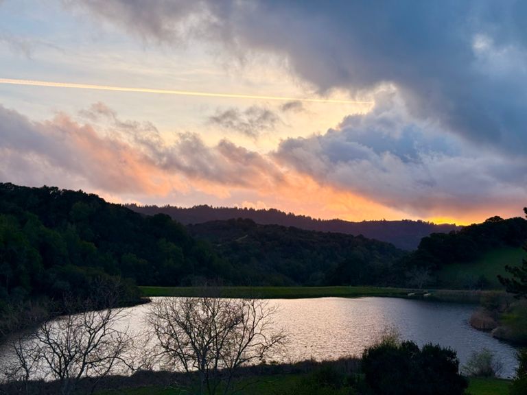
| The story of us. Page one | 0.85英里 | 92英尺 | 2.0% |
| Page Mill - First Half | 2.42英里 | 837英尺 | 6.5% |
| Page Mill - Alexis to Via Ventana | 0.47英里 | 197英尺 | 7.9% |
| Page Mill: Altamont to FH 01 (500ft ascend) | 1.32英里 | 456英尺 | 6.5% |
| partial page mill - palo alto town sign to that one plateau | 2.47英里 | 925英尺 | 7.0% |
| Page Mill - Park Entrance to Moody | 0.21英里 | 112英尺 | 9.7% |
| Page Mill - Foothills Park climb past Moody | 0.44英里 | 223英尺 | 9.4% |
| Page Mill - Moody to Montebello Open Space | 4.39英里 | 1,257英尺 | 5.4% |
| Page Mill - Moody to Gate 3 | 1.49英里 | 436英尺 | 5.5% |
| Page Mill (SW): Moody → DeathSnake | 0.95英里 | 243英尺 | 4.4% |
| Page Mill—Moody to drinking fountain | 3.94英里 | 1,175英尺 | 5.6% |
| Page Mill—Naked Lady (Gate 3 to Gate 4) | 0.63英里 | 318英尺 | 9.3% |
| Page Mill - Gate 4 to Skyline | 3.61英里 | 538英尺 | 2.3% |
| Page Mill - Monte Bello Rd Climb | 0.74英里 | 282英尺 | 7.2% |
| Page Mill - Last steep bump at Los Trancos | 0.16英里 | 92英尺 | 10.5% |
| Page Mill Climb, Final Mile to Skyline | 1.04英里 | -98英尺 | -0.1% |
| Page Mill to Skyline -- Final Sprint Climb | 0.45英里 | 75英尺 | 3.1% |
| Skyline - Page Mill to Hwy 9 | 6.39英里 | 568英尺 | 1.1% |
| Skyline - Final SB climb N of Hwy 9 | 0.83英里 | 279英尺 | 6.4% |
| Full Bear Creek (9 to 35) | 9.10英里 | 1,660英尺 | 3.3% |
| Bear Creek Road | 3.10英里 | 2,631英尺 | 0.0% |
| Bear Creek Rd: Bear Creek Canyon to Skyline | 3.85英里 | 1,086英尺 | 4.9% |
| Black Road Steeps | 1.51英里 | -853英尺 | -10.5% |
| Black - John Nicholas Trailhead to Montevina | 3.43英里 | -1,145英尺 | -6.3% |
| Alma Bridge – Black Creek Connector: Bear Creek Rd to Alma Bridge Rd | 0.48英里 | 30英尺 | 0.2% |
| Down N Up (RXDX) | 0.26英里 | -141英尺 | -10.1% |
| The Sprint | 0.26英里 | -62英尺 | -4.4% |
| LG Creek trail - Dam to Main St | 1.44英里 | -174英尺 | -2.3% |
| Hwy 9 - Quito to Saratoga | 2.27英里 | 118英尺 | 0.2% |
| HWY9 - Saratoga Bump - Austin to Fruitvale | 0.73英里 | 118英尺 | 2.9% |
| Hwy 9 - Fruitvale Ave to Saratoga Ave | 1.34英里 | -121英尺 | -1.4% |
| Saratoga-Sunnyvale Saratoga to Pierce | 1.54英里 | -125英尺 | -1.5% |
| Real Neale's Hollow Segment | 0.30英里 | -23英尺 | -0.6% |
| Herriman to Cox | 1.06英里 | -95英尺 | -1.7% |
| Saratoga Sunnyvale - Cox to Prospect | 0.70英里 | -36英尺 | -1.0% |
| Riding the De Anza bergs | 0.37英里 | -16英尺 | -0.9% |
| Rainbow Dr - Stelling to Bubb | 0.48英里 | 49英尺 | 1.9% |
| McClellan: in and out | 0.29英里 | -33英尺 | -0.3% |
| McClellan hairpin from ranch to straight | 0.24英里 | 59英尺 | 4.3% |
| McClellan Hill Sprint | 0.09英里 | 26英尺 | 5.2% |
| McClellan rd (hairpin climb to Foothill) | 0.30英里 | 62英尺 | 3.9% |
| McClellan Climb (Only The Steep Part) | 0.07英里 | 36英尺 | 9.4% |
| Foothill: Stevens Creek to Cristo Rey Dr. Sprint. | 0.60英里 | -36英尺 | -0.8% |
| Foothill Stevens Creek to Homestead | 1.07英里 | -115英尺 | -2.0% |
| Foothill Homestretch Hill Sprint | 0.14英里 | 10英尺 | 1.1% |